
Grabplatten von Carrowntemple
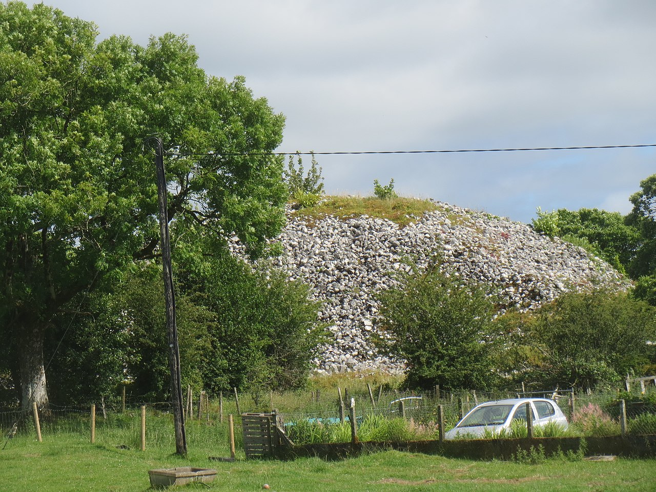
Photo Aiden Clarke · CC BY-SA 2.0Source file on Wikimedia Commons
Overview
About this site
What the sources say
12 Repliken von 14 frühchristlichen Grabplatten von Carrowntemple (englisch Cross Slabs) befinden sich unweit des Lough Gara auf einem Friedhof im Townland Carrowntemple (irisch Ceathrú an Teampaill) südwestlich von Gorteen im County Sligo in Irland.
Es gab zwei Einhegungen in Carrowntemple, die beide teilweise zerstört sind. Auf der Ordnance-Survey-Karte von 1837 ist ein rechteckiges Kirchengebäude, genannt „Abbey“, neben einem Friedhof eingezeichnet, das auf Luftbildern im etwa 6 ha großen Bereich des Klosters schwach sichtbar ist. Zwei heute verschlossene Souterrains liegen im Westen der Kirche.
In der Mitte des Innenraumes der anderen Einhegung finden sich die Überreste einer mittelalterlichen Pfarrkirche von 9,4 × 6,4 m, die teilweise bis zu einer Höhe von 3,1 m anstehen. Die Wände sind 70 bis 90 cm dick. Die Kirche steht wahrscheinlich an der Stelle einer früheren Holzkirche.
Vierzehn Grabplatten aus Sandstein wurden im Süden und Osten der Kirche auf dem alten Friedhof gefunden. Zwischen 1990 und 1992 erstellte Cillian Rogers Repliken von zwölf von ihnen, diese wurden im Jahr 1992 vor Ort aufgestellt. Die aus der keltischen Eisenzeit abgeleiteten Designs sind aufwendiger als die jedes anderen Friedhofs im County Sligo, bis auf die von Inishmurray, Nr. 2 und 3. Einige der Entwürfe sind aus verschiedenen Gründen hervorragend, mitunter sogar einzigartig. Zu den symbolhaften Darstellungen gehören Ellipsenbänder, Knotenmuster, einfache Kreuze, Kreise, Schachbrettmuster und Triskelen.
Die Platte Nr. 10 trägt eine einzigartige figurative Darstellung und ist auf der Rückseite mit Knotenmustern verziert; sie war dazu bestimmt aufrecht gesetzt zu werden. Die Platte Nr. 3 ist im Design ähnlich einem aus dem Buch von Durrow aus dem 7. Jahrhundert. Ins 7. und 8. Jahrhundert werden viele der Platten eingeordnet. Auf den Platten Nr. 3, 4, 5, 6, 8 und 11 ist das Design erhaben.
Article in GermanRead on Wikipedia4 min readCC BY-SA 4.0
The full article
Grabplatten von Carrowntemple: the whole story
In briefSources for this section
Sources for this section
The Carrowntemple grave slabs stand near Lough Gara on a cemetery in the Townland Carrowntemple (Ceathrú an Teampaill), southwest of Gorteen in County Sligo, Ireland. The site has two enclosures, both partly destroyed. An 1837 Ordnance-Survey map shows a rectangular church building called “Abbey” beside the cemetery, while aerial photographs reveal it only faintly across the roughly 6 ha monastic area. Two sealed underground passages lie west of the church.
The second enclosure contains the remains of a medieval parish church measuring 9,4 × 6,4 m, with walls standing in places up to 3,1 m high and measuring 70 to 90 cm thick. It probably replaced an earlier wooden church. Fourteen sandstone grave slabs were found south and east of the church in the old cemetery.
Between 1990 and 1992, Cillian Rogers made replicas of twelve of the slabs and installed them on site in 1992. Their designs, derived from the Celtic Iron Age, are more elaborate than those on any other cemetery in County Sligo except Inishmurray, No. 2 and 3. Motifs include elliptical bands, interlace, simple crosses, circles, chequer patterns and triskeles. Many slabs are dated to the 7th and 8th centuries, and six have raised designs.
Slab No. 10 carries a unique figurative representation and has interlace on the reverse; it was intended to stand upright. Slab No. 3 resembles a design in the 7th-century Book of Durrow. Monuments of this type in Scotland are generally known as Pictish stones: carved or incised standing stones, sometimes with ogham inscriptions, most of which are thought to date from the sixth to the ninth century CE. About 350 such stones are known to survive.
No English Wikipedia article exists for it; the full text below is the German article "Grabplatten von Carrowntemple", shown in the original language.
Summary in EnglishSources for this section
Sources for this section
Grabplatten von Carrowntemple is a stele in Ireland. No English Wikipedia article exists for it; the full text below is the German article "Grabplatten von Carrowntemple", shown in the original language.
How this page was madeSources for this section
Sources for this section
The summary at the top of this page was written by MiniMax-M3 (2026-11-08) from the cited Wikipedia article “Grabplatten von Carrowntemple”, translated from German. The numbers in it were checked automatically against the source text. The rest of the page is the article itself, the structured records and computed distances.
Tradition and region
About this kind of monument
Pictish and early medieval stones
A Pictish stone is a type of monumental stele, generally carved or incised with symbols or designs; a few have ogham inscriptions. They stand in Scotland, mostly north of the Clyde-Forth line and on the eastern side of the country, and are the most visible remaining evidence of the Picts. They are thought to date from the sixth to the ninth century CE, a period during which the Picts became Christianised. About 350 objects classified as Pictish stones have survived. The earlier stones have no parallels elsewhere in the British Isles, while the later forms are variations within a wider tradition of monumental stones such as high crosses.
The Aberlemno Sculptured Stones in Angus are a series of Pictish standing stones in and around the village. Three are in the village and a fourth, found in 1962, is on display in Dundee. Aberlemno 1, 3 and 5 stand in recesses in a dry stone wall at the side of the road, and Aberlemno 2 is in the kirkyard. They date from the Early Medieval period. A fifth stone in the village carries signs of carving but is of unknown authenticity as a Pictish artefact.
Ogham stones are a related tradition in Ireland, and a few appear in Britain. Ogham is the early medieval alphabet used for the Irish language and for Pictish and British inscriptions, with letters formed by strokes along the edge of a standing stone.
The meaning of the Pictish symbols is still debated. Dating relies on art style and on the relation to Christian monuments, not on any dated find.
When visiting, look at the symbols and at the carving on the reverse of the later stones.
Paraphrased from Wikipedia: Pictish stone, Wikipedia: Aberlemno sculptured stones, Wikipedia: Picts, Wikipedia: Ogham · CC BY-SA 4.0
From the article
Dated moments in the story
- 1837
Auf der Ordnance-Survey-Karte von 1837 ist ein rechteckiges Kirchengebäude, genannt „Abbey“, neben einem Friedhof eingezeichnet, das auf Luftbildern im etwa 6 ha großen Bereich des Klosters schwach sichtbar ist.
Source - 1990
Zwischen 1990 und 1992 erstellte Cillian Rogers Repliken von zwölf von ihnen, diese wurden im Jahr 1992 vor Ort aufgestellt.
Source
Photographs
1 photograph, each with its author and licence
Where it stands
Ireland
The pin marks the monument itself — its exact point.
- Coordinates
- 53°58′02″ N, 8°34′21″ WFor a GPS or map app: 53.96712, -8.57240
Access is as our sources describe it; we have not visited the site to check.
Nearby
The closest sites in the Atlas, by straight line.




Sources
Every record behind this page, with the link it came from.
1 source behind this page
- 01Wikidata Q20170916wikidata.org
Image files
Report a correctionWrong date, name, photograph or source? Tell us and it will be put right.
Around this place
The ten nearest sites, by compass
Credit
Text, licence and sources
Text from the Wikipedia article "Grabplatten von Carrowntemple" (German), licensed CC BY-SA 4.0; authors are listed in the page history. Reused under CC BY-SA 4.0. Read on Wikipedia · Edit history and authors