TT54
Also known asThebanian Tomb 54
DatedEst. 1539–1075 BCE
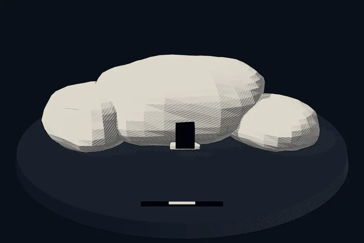
No licensed photograph yetWe have no photograph we may publish for this site, so the interpretive 3D view leads instead.
Overview
About this site
What the sources say
The Theban Tomb TT54 is located in Sheikh Abd el-Qurna, part of the Theban Necropolis, on the west bank of the Nile, opposite to Luxor. It was originally the burial place of the ancient Egyptian official Hui, who was an official during the reign of Thutmose IV and Amenhotep III. However, it was seized later in the 19th Dynasty by another official, Kenro, and his son Khonsu.
Read on Wikipedia2 min readCC BY-SA 4.0
Where it sits in time
The site's dated range, placed against world reference points.
The scale is logarithmic: each step to the left is about ten times older than the last.
The full article
TT54: the whole story
In briefSources for this section
- Wikipedia (English): TT54CC BY-SA 4.0
Sources for this section
- Wikipedia (English): TT54CC BY-SA 4.0
Theban Tomb TT54, also called Thebanian Tomb 54, is located in Sheikh Abd el-Qurna, part of the Theban Necropolis, on the west bank of the Nile opposite Luxor. The Atlas catalogue classes it as a rock-cut tomb, or hypogeum, and gives a typological estimate for its date of 1539 to 1075 BCE.
The tomb was originally the burial place of the ancient Egyptian official Hui, who served during the reigns of Thutmose IV and Amenhotep III. It was seized later, in the 19th Dynasty, by another official, Kenro, and his son Khonsu. Nothing further is recorded here about its plan, decoration or contents.
Egypt has some of the best-known rock-cut tombs in the world. In the Valley of the Kings, on the west bank of the Nile opposite Thebes, tombs were excavated for pharaohs and powerful nobles of the New Kingdom, over a period of nearly 500 years from the Eighteenth to the Twentieth Dynasty. The valley gained great attention after the discovery of the tomb of Tutankhamun in 1922, and it became a UNESCO World Heritage Site in 1979 with the rest of the Theban Necropolis.
A tomb such as TT54, which was reused by later officials, shows that burial places in the Theban Necropolis could change hands within the lifetime of the necropolis.
How this page was madeSources for this section
- Wikipedia (English): TT54CC BY-SA 4.0
Sources for this section
- Wikipedia (English): TT54CC BY-SA 4.0
The summary at the top of this page was written by Claude Sonnet 5.5 (2026-11-06) from the cited Wikipedia article “TT54”. The numbers in it were checked automatically against the source text. The rest of the page is the article itself, the structured records and computed distances.
Tradition and region
About this kind of monument
Rock-cut tombs of Egypt
Egypt has some of the best-known rock-cut tombs in the world. In the Valley of the Kings, on the west bank of the Nile opposite Thebes, tombs were excavated for pharaohs and powerful nobles of the New Kingdom, for a period of nearly 500 years from the Eighteenth to the Twentieth Dynasty. The valley has two main sections, the East Valley where most royal tombs lie and the West Valley, known as the Valley of the Monkeys, and it is known to contain 65 tombs and chambers. It gained great attention after the discovery of the tomb of Tutankhamun in 1922, and became a UNESCO World Heritage Site in 1979 with the rest of the Theban Necropolis.
Much earlier, Beni Hasan in Middle Egypt is an ancient funerary site cut into the limestone cliffs on the east bank of the Nile about 20 kilometres south of Minya. In the Middle Kingdom it was the principal cemetery of the sixteenth nome of Upper Egypt, the Oryx nome, and its monumental tombs were cut roughly halfway up the cliff, overlooking the valley. Rock-cut tombs are also found at Deir el-Medina, between the Valley of the Kings and the Valley of the Queens.
The mastaba is a different tradition: a flat-roofed rectangular tomb with sloping sides, built of mudbrick or limestone, which marked the burial sites of eminent Egyptians in the Early Dynastic Period and Old Kingdom. The mastaba was built above ground and the rock-cut tomb into the cliff.
Egyptian tombs are among the best dated monuments in the Atlas, because the dynasty or reign of the king or noble who owned them is known.
When visiting, remember that access to many tombs is limited.
Paraphrased from Wikipedia: Valley of the Kings, Wikipedia: Beni Hasan, Wikipedia: Rock-cut tomb, Wikipedia: Mastaba · CC BY-SA 4.0
Lore
Evidence & Lore
What the sources actually support — and, kept apart, what has been claimed.
What the evidence supports
Dates
Est. 1539–1075 BCEHow this date was established: Type comparisonTypical range for hypogeums in Egypt; this site has not been dated itself. The Valley was used for primary burials from approximately 1539 BC to 1075 BC.Source for this date
Where it stands
Egypt
The pin marks the monument itself — its exact point.
- Coordinates
- 25°44′00″ N, 32°36′00″ EFor a GPS or map app: 25.73330, 32.60000
Access is as our sources describe it; we have not visited the site to check.
Nearby
The closest sites in the Atlas, by straight line.


Sources
Every record behind this page, with the link it came from.
3 sources behind this page
- 01Wikidata Q3512458wikidata.org
- 02Source for this dateen.wikipedia.org
- 03Wikipedia: TT54en.wikipedia.org
Report a correctionWrong date, name, photograph or source? Tell us and it will be put right.
Around this place
The ten nearest sites, by compass
Credit
Text, licence and sources
Text from the Wikipedia article "TT54" (English), licensed CC BY-SA 4.0; authors are listed in the page history. Reused under CC BY-SA 4.0. Read on Wikipedia · Edit history and authors
- Wikipedia (English): TT54CC BY-SA 4.0
- Wikidata Q3512458CC0