
Menhir (standing stone)The Bronze Age
Wegweiserstein
DatedEst. 2800–1800 BCE
Photo Manfred Schröter, Berga · CC BY-SA 4.0Source file on Wikimedia Commons
Overview
About this site
Overview
Wegweiserstein is a menhir in Sangerhausen, Germany. It lies at 51.4806° N, 11.2844° E.
Catalogue recordSources and licences
Where it sits in time
The site's dated range, placed against world reference points.
The scale is logarithmic: each step to the left is about ten times older than the last.
Article
Wegweiserstein
ContextSources for this section
- en.wikipedia.orgCC BY-SA 4.0
- en.wikipedia.orgCC BY-SA 4.0
- en.wikipedia.orgCC BY-SA 4.0
Sources for this section
- en.wikipedia.orgCC BY-SA 4.0
- en.wikipedia.orgCC BY-SA 4.0
- en.wikipedia.orgCC BY-SA 4.0
Outside the Atlantic fringe, menhirs also occur across central and southern Europe. In the Czech Republic there are about 40 real menhirs and dozens of stones that could also be menhirs, and others have been erected recently. The largest real menhir is Kamenný pastýř, the "stony shepherd", near Klobuky, 3.3 metres high; the Czech menhirs are probably the last outcrop of a tradition that ran across northern Germany. Some of the Czech stones in the Atlas may be natural boulders. The regional background, “Central and southern European menhirs”, is given below.
DatingSources for this section
- en.wikipedia.orgCC BY-SA 4.0
Sources for this section
- en.wikipedia.orgCC BY-SA 4.0
No scientific date has been published for this site. Monuments of this type in Germany are generally dated 2800 BCE to 1800 BCE; the site itself may fall inside or outside that range.
Standing stones are associated with the Beaker people of the European late Neolithic and early Bronze Age c. 2800-1800 BC.
Setting
1 other recorded monument lies within 10 km (0 within 1 km, 0 within 5 km), 1 of them of the same type. In Sangerhausen, Germany, 1 of the 1 recorded monuments are of this type.
The nearest recorded monuments are Hackpfüffel menhir (8.8 km south-west, menhir); Huthügel (16.8 km south, megalithic mound); Derfflinger Hügel (17.5 km south, megalithic mound); Fahnenhügel (18.4 km north-east, megalithic mound).
ProtectionSources for this section
Sources for this section
Heritage status: heritage monument in Saxony-Anhalt.
Tradition and region
About this kind of monument
Central and southern European menhirs
Outside the Atlantic fringe, menhirs also occur across central and southern Europe. In the Czech Republic there are about 40 real menhirs and dozens of stones that could also be menhirs, and others have been erected recently. The largest real menhir is Kamenný pastýř, the "stony shepherd", near Klobuky, 3.3 metres high; the Czech menhirs are probably the last outcrop of a tradition that ran across northern Germany. Some of the Czech stones in the Atlas may be natural boulders.
Italy has its most famous menhirs in Sardinia, where at least 332 standing stones can be seen. They include elaborate "statue-menhirs" that show a human face at the top and gendered symbols on the flat front; over a hundred of this standardised type have been found, mostly around the village of Laconi. In the Sardinian language they are called perdas fittas or perdas lungas. In Switzerland, in the canton of Vaud, several menhirs form linear patterns at Clendy in Yverdon-les-Bains, and date back to the third millennium BCE.
A statue menhir is a carved standing stone of the later European Neolithic, in which a slab or pillar has a stylised human figure cut into it, sometimes with hints of clothing or weapons. They are most commonly found in southern and western France, Catalonia, Corsica, Sardinia, Italy and the Alps.
Menhirs are usually difficult to date, and those without excavation can only be given a broad range. A stone's present position is not always its original one.
When visiting, check whether a stone stands in its original position and look for signs of shaping.
Paraphrased from Wikipedia: Menhir, Wikipedia: List of menhirs, Wikipedia: Statue menhir · CC BY-SA 4.0
See it in 3D
An interpretive reconstruction of the monument, standing on the real ground at its exact point, under the sun for that place and season. Drag to look around it.
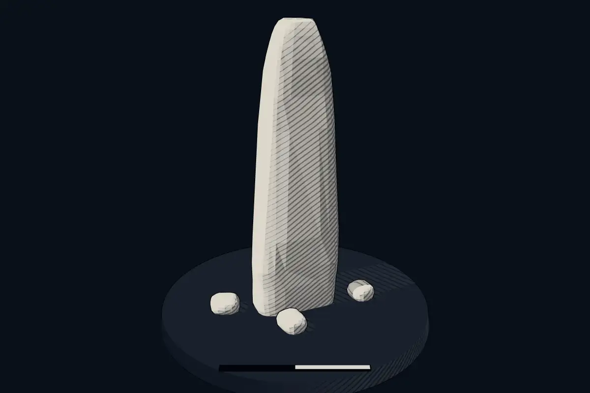
The reconstruction is ours, not a survey: it shows what a monument of this type looks like, at the size the record gives for this one.
Photographs
2 photographs, each with its author and licence
More photographs
Lore
Evidence & Lore
What the sources actually support — and, kept apart, what has been claimed.
What the evidence supports
Dates
Est. 2800–1800 BCEHow this date was established: Type comparisonTypical range for menhirs in Germany; this site has not been dated itself. Standing stones are associated with the Beaker people of the European late Neolithic and early Bronze Age c. 2800-1800 BC.Source for this date
Where it stands
Germany
The pin marks the monument itself — its exact point.
- Coordinates
- 51°28′50″ N, 11°17′04″ EFor a GPS or map app: 51.48063, 11.28443
Access is as our sources describe it; we have not visited the site to check.
Nearby
The closest sites in the Atlas, by straight line.


Sources
Every record behind this page, with the link it came from.
2 sources behind this page
- 01Wikidata Q114419494wikidata.org
- 02Source for this dateen.wikipedia.org
Image files
- Menhir I von Sangerhausen 2008.jpgManfred Schröter, BergaCC BY-SA 4.0
- Menhire I und II von Sangerhausen.jpgManfred and Raik Schröter, BergaCC BY-SA 4.0
Report a correctionWrong date, name, photograph or source? Tell us and it will be put right.
Around this place
The ten nearest sites, by compass
Credit
Text, licence and sources
Compiled from open records (Wikidata, CC0; OpenStreetMap, ODbL) and a regional background article based on Wikipedia (CC BY-SA 4.0).
- Wikidata Q114419494CC0
- en.wikipedia.orgCC BY-SA 4.0
- en.wikipedia.orgCC BY-SA 4.0
- en.wikipedia.orgCC BY-SA 4.0