
Megalithic mound (tumulus with integral stones)The Copper Age
Fahnenhügel
DatedEst. 3500–500 BCE
Photo Pomfuttge · CC BY-SA 4.0Source file on Wikimedia Commons

Overview
About this site
Overview
The Fahnenhügel is a Neolithic burial mound near Lutherstadt Eisleben in the district of Mansfeld-Südharz, Saxony-Anhalt, Germany. In 1837 a beaker of the Late Neolithic Corded Ware culture (2800–2200 BCE) was found there.
Read on Wikipedia2 min readCC BY-SA 4.0
Where it sits in time
The site's dated range, placed against world reference points.
The scale is logarithmic: each step to the left is about ten times older than the last.
Article
Fahnenhügel
SettingSources for this section
- Wikipedia (German): Fahnenhügel (Eisleben)CC BY-SA 4.0
Sources for this section
- Wikipedia (German): Fahnenhügel (Eisleben)CC BY-SA 4.0
The mound lies 1.5 km north-west of Eisleben on an elongated ridge, directly at a crossing of paths.
The fairly large, tree-covered mound was badly damaged by digging no later than the 19th century, and more recently by an excavator.
DescriptionSources for this section
- Wikipedia (German): Fahnenhügel (Eisleben)CC BY-SA 4.0
Sources for this section
- Wikipedia (German): Fahnenhügel (Eisleben)CC BY-SA 4.0
The fairly large, tree-covered mound was badly damaged by digging no later than the 19th century, and more recently by an excavator.
FindsSources for this section
- Wikipedia (German): Fahnenhügel (Eisleben)CC BY-SA 4.0
Sources for this section
- Wikipedia (German): Fahnenhügel (Eisleben)CC BY-SA 4.0
The beaker recovered in 1837 is the only find from the Fahnenhügel, and the exact circumstances of its discovery are unknown. It is 9 cm high, with a diameter of 5 cm at the base, 8 cm at the belly and 7 cm at the mouth. It has an S-shaped profile, two handles set side by side on the upper belly, and decoration of four encircling cord lines each on the neck and upper belly with hatched triangles between them. The beaker is held in the regional history collections of Lutherstadt Eisleben.
Research historySources for this section
- Wikipedia (German): Fahnenhügel (Eisleben)CC BY-SA 4.0
Sources for this section
- Wikipedia (German): Fahnenhügel (Eisleben)CC BY-SA 4.0
An investigation by the University of Leipzig in 2003 produced no new findings. It therefore remains unclear whether the mound was built by members of the Corded Ware culture or merely reused by them. After the 2003 investigation the mound was restored.
Tradition and region
About this kind of monument
German Hügelgräber and megalithic mounds
Burial mounds are found across Germany, from the northern plain to the south. Those of the Middle Bronze Age give a whole culture its name: the Tumulus culture (Hügelgräberkultur), which was dominant in Central Europe from about 1600 to 1300 BCE and buried its dead beneath mounds. It descended from the Unetice culture and covered parts of southern Germany, the Czech Republic, Austria, Switzerland, Poland and France. Its society was a warrior society, as the weapons in the graves show. The Late Bronze Age Urnfield culture, which followed it, preferred cremation, and the Hallstatt culture of the Early Iron Age revived the great mound for chieftains.
Hallstatt-period mounds can be spectacular. The Hochdorf grave in Baden-Württemberg, of about 530 BCE, was found in 1968 and excavated in 1978 to 1979. Its mound, originally 6 metres high and about 60 metres across, had been worn down to about 1 metre. Inside lay a man of about fifty on a bronze recliner with eight wheels, wearing a gold-plated torc, with a four-wheeled wagon and drinking horns.
In the north, many mounds are older and belong to the Funnel Beaker culture, whose stone-chambered tombs are described in the articles on northern German megalithic tombs. Here a mound may cover a megalithic chamber, and the Atlas's classification sometimes cannot tell the two apart without a field visit.
Dating usually combines typology, pottery and metalwork and, where timber survives, tree-ring dating. Many mounds have been ploughed down, as Hochdorf shows.
When visiting, look for mounds in groups in woodland, where they survive best, for the hollow of an old central trench, and for kerbs of stone.
Paraphrased from Wikipedia: Tumulus culture, Wikipedia: Hallstatt culture, Wikipedia: Funnel beaker culture, Wikipedia: Tumulus, Wikipedia: Heuneburg, Wikipedia: Hochdorf Chieftain's Grave · CC BY-SA 4.0
From the article
Dated moments in the story
- 2200 BCE
1837 wurde hier ein Becher der endneolithischen Schnurkeramischen Kultur (2800–2200 v. Chr.) gefunden.
Source - 1837
1837 wurde aus dem Hügel ein Becher der Schnurkeramischen Kultur geborgen; die genauen Fundumstände sind unbekannt.
Source - 2003
Auch eine Untersuchung der Universität Leipzig im Jahr 2003 erbrachte keine neuen Erkenntnisse.
Source - 2003
Nach der Untersuchung im Jahr 2003 erfolgte eine Restaurierung des Fahnenhügels.
Source
See it in 3D
An interpretive reconstruction of the monument, standing on the real ground at its exact point, under the sun for that place and season. Drag to look around it.
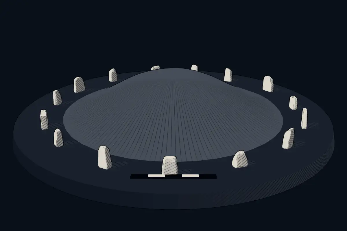
The reconstruction is ours, not a survey: it shows what a monument of this type looks like, at the size the record gives for this one.
Photographs
6 photographs, each with its author and licence
More photographs


Lore
Evidence & Lore
What the sources actually support — and, kept apart, what has been claimed.
What the evidence supports
Dates
Est. 3500–500 BCEHow this date was established: Type comparisonTypical range for megalithic mounds in Germany; this site has not been dated itself. German barrows ( Hugelgraber) run from the Neolithic (construction in central and south-west Germany c. 3500 BC and northern and central Germany c. 3400 BC) to the Late Bronze and Iron Age.Source for this date
Where it stands
Germany
The pin marks the monument itself — its exact point.
- Coordinates
- 51°32′40″ N, 11°31′45″ EFor a GPS or map app: 51.54444, 11.52910
Access is as our sources describe it; we have not visited the site to check.
Nearby
The closest sites in the Atlas, by straight line.
 Der verworrene Stein2800–1800 BCE
 Menhir von Räther2800–1800 BCE
- Menhir (standing stone)Menhir von Schraplau2800–1800 BCE
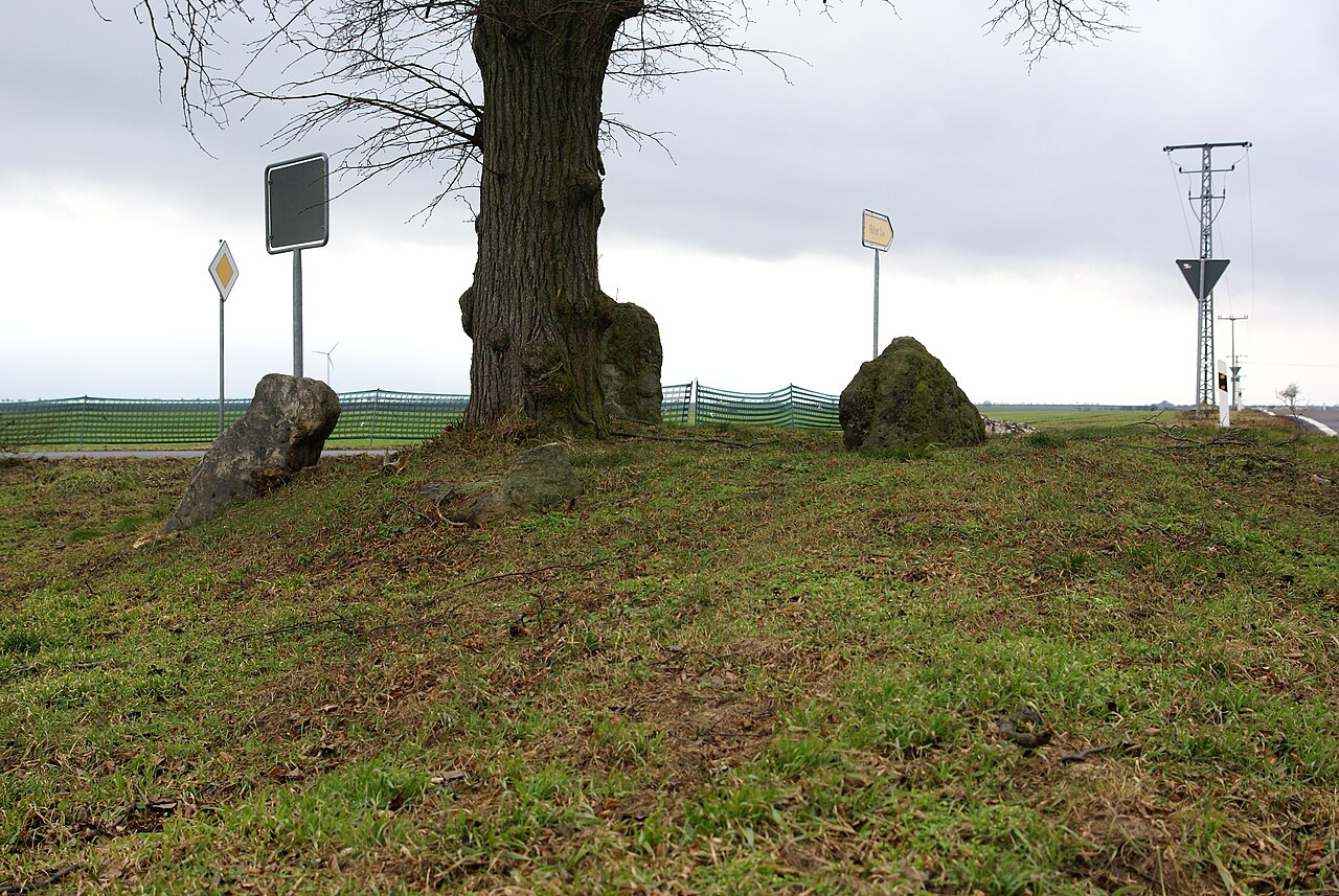 Vierersteine Krimpe2800–1800 BCE
- Menhir (standing stone)Menhir von Höhnstedt2800–1800 BCE
- Megalithic tombGroßsteingräber bei Stedten3500–2800 BCE
- CistSteinkiste von Esperstedt3500–2800 BCE
 Wegweiserstein2800–1800 BCE


Sources
Every record behind this page, with the link it came from.
2 sources behind this page
- 01Wikidata Q56103335wikidata.org
- 02Source for this dateen.wikipedia.org
Image files
- Fahnenhügel Eisleben vom Norden.JPGPomfuttgeCC BY-SA 4.0
- Blick auf Fortschrittschacht vom Fahnenhügel.JPGPomfuttgeCC BY-SA 4.0
- Blick auf Hans-Seidel-Schacht vom Fahnenhügel.JPGPomfuttgeCC BY-SA 4.0
- Blick auf Volkstedt und Thälmannschacht.JPGPomfuttgeCC BY-SA 4.0
- Eisleber Niederung vom Fahnenhügel cropped.jpegPomfuttgeCC BY-SA 4.0
- Eisleber Niederung vom Fahnenhügel.JPGPomfuttgeCC BY-SA 4.0
Report a correctionWrong date, name, photograph or source? Tell us and it will be put right.
Around this place
The ten nearest sites, by compass
Credit
Text, licence and sources
Adapted from the Wikipedia article "Fahnenhügel (Eisleben)" (German), licensed CC BY-SA 4.0; authors are listed in the page history. Reused under CC BY-SA 4.0. Read on Wikipedia · Edit history and authors
- Wikipedia (German): Fahnenhügel (Eisleben)CC BY-SA 4.0
- Wikidata Q56103335CC0