.jpg/1920px-Mamoa_do_Alto_do_Cotorino_(1).jpg 1920w)
Megalithic mound (tumulus with integral stones)
Mamoa do Alto do Cotorino
Photo Joseolgon · CC BY-SA 4.0Source file on Wikimedia Commons

Overview
About this site
Overview
The Mamoa do Alto do Cotorino, also written Alto do Catorino, is a megalithic mound at Carrazedo do Alvão, in the parish of Alvão, municipality of Vila Pouca de Aguiar, Portugal. It is one of the largest megalithic monuments of the municipality and perhaps the best preserved.
It has been classified as an Imóvel de Interesse Público (Immovable Cultural Heritage of Public Interest) since 1990.
Read on Wikipedia1 min readCC BY-SA 4.0
Article
Mamoa do Alto do Cotorino
The structure consists of a polygonal chamber in which seven of the original eight orthostats remain in situ, and a larger slab that appears to seal the burial space.
DescriptionSources for this section
Sources for this section
The mound is two metres high and more than twenty metres in diameter. Although it has been violated on several occasions, its stone structure is almost intact.
The structure consists of a polygonal chamber in which seven of the original eight orthostats remain in situ, and a larger slab that appears to seal the burial space. No traces of a corridor can be seen.
Tradition and region
About this kind of monument
Iberian tumuli
Most of the Atlas's Iberian mounds lie in the northern highlands, especially the Basque country, where prehistoric collective graves are found in great numbers. Archaeologists there separate dolmens, which have a stone chamber covered by a mound of stones and earth, from "tumuli" or mounds that have no chamber but were used in the same way, for collective burial. Roughly 800 dolmens and about 500 mounds are known in the Basque Country, though some of the mounds may be dolmens waiting to be excavated.
Both kinds are placed in spots of great visibility, often on mountain ridges, and are built of local materials; the larger ones tend to be in lowland areas and the smaller ones in mountain zones. The dead were placed in the chamber or under the mound over generations, and older remains were moved aside to make room for newer ones, which is why very few Basque monuments have a clear layered record. Megalithic burial arrived in the late Neolithic, was in constant use in the Chalcolithic and Early Bronze Age, and in some mounds continued as late as the Iron Age.
Across Iberia the picture changes with the Bell Beaker phenomenon of the late Chalcolithic, which brought individual graves, often under mounds, in contrast with the collective graves that came before.
Dating is difficult, because few mounds have been excavated and the collective burials were disturbed, so the Atlas gives broad typological ranges.
When visiting, look for low circular mounds of stone on high ground in pasture, often with a ring of larger stones or a dip in the centre where a chamber may have collapsed, and for neighbouring stone circles on the same ridge.
Paraphrased from Wikipedia: Basque prehistory, Wikipedia: Tumulus, Wikipedia: Bell Beaker culture, Wikipedia: Dolmen · CC BY-SA 4.0
From the article
Dated moments in the story
- 1990
É um dos maiores monumentos megalíticos do município e talvez aquele que se encontra em melhor estado de conservação, estando classificado como Imóvel de Interesse Público desde 1990. Apesar de ter sido alvo de várias acções de violação, a mamoa apresenta a sua estrutura pétrea quase intacta.
Source
See it in 3D
An interpretive reconstruction of the monument, standing on the real ground at its exact point, under the sun for that place and season. Drag to look around it.
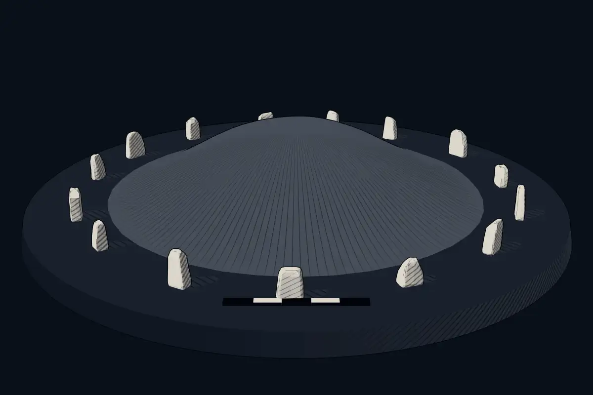
The reconstruction is ours, not a survey: it shows what a monument of this type looks like, at the size the record gives for this one.
Photographs
3 photographs, each with its author and licence
More photographs


Where it stands
Portugal
The pin marks the monument itself — its exact point.
- Coordinates
- 41°29′55″ N, 7°43′14″ WFor a GPS or map app: 41.49860, -7.72050
Access is as our sources describe it; we have not visited the site to check.
Nearby
The closest sites in the Atlas, by straight line.
- DolmenSerra do Alvão dolmens4000–3000 BCE
- DolmenMenir da Pedra d' Anta4000–3000 BCE
- DolmenMamoa sita no Outeiro Lesenho4000–3000 BCE
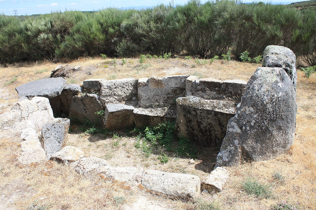 Mamoa das Madorras
 Anta de Fonte Coberta4000–3000 BCE
- SteleEstela de Vila Boa
- Megalithic mound (tumulus with integral stones)Mamoas da Veiga
 Anta da Aboboreira4000–3000 BCE
Photo: António Miguel de Campos - en:User:Tó campos · Public domain


Sources
Every record behind this page, with the link it came from.
1 source behind this page
- 01Wikidata Q10323468wikidata.org
Image files
Report a correctionWrong date, name, photograph or source? Tell us and it will be put right.
Around this place
The ten nearest sites, by compass
Credit
Text, licence and sources
Adapted from the Wikipedia article "Mamoa do Alto do Cotorino" (Portuguese), licensed CC BY-SA 4.0; authors are listed in the page history. Reused under CC BY-SA 4.0. Read on Wikipedia · Edit history and authors