Bautastein von Krågøy
DatedEst. 2800–1800 BCE
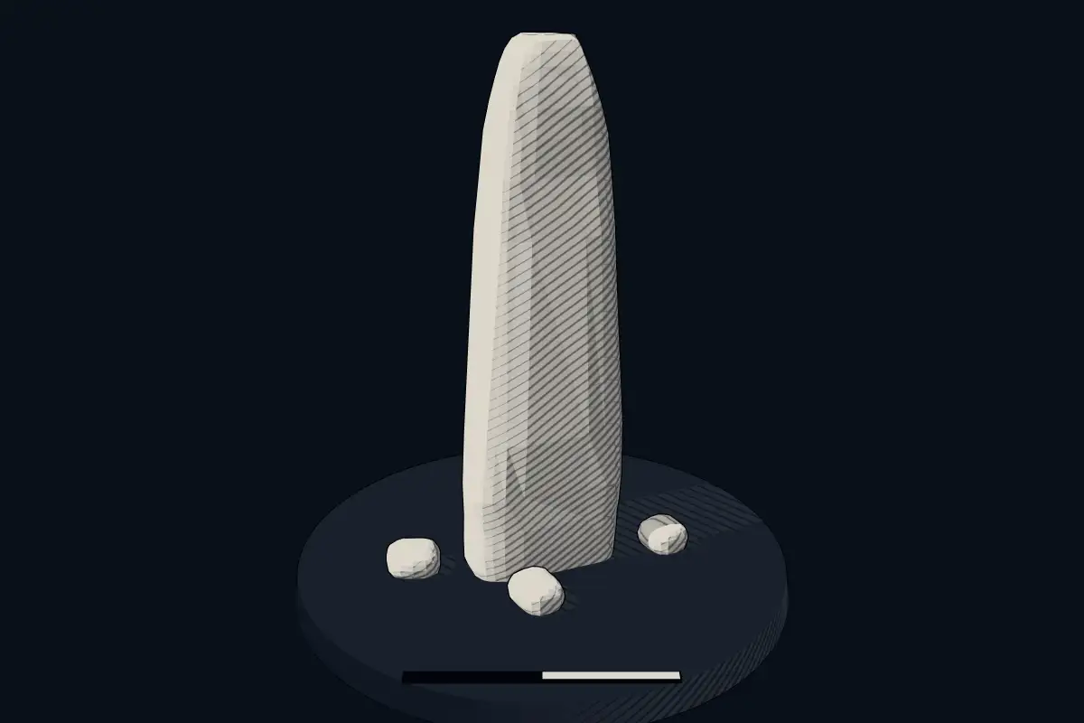
No licensed photograph yetWe have no photograph we may publish for this site, so the interpretive 3D view leads instead.
Overview
About this site
Overview
The Bautastein von Krågøy is a menhir east of Ystebøhavn on the island of Krågøya, part of the Kvitsøy island group in the Boknafjord, Rogaland, Norway. It is almost 6.0 metres high and has a rectangular cross-section.
The stone was moved in the early 1980s.
Read on Wikipedia1 min readCC BY-SA 4.0
Where it sits in time
The site's dated range, placed against world reference points.
The scale is logarithmic: each step to the left is about ten times older than the last.
Article
Bautastein von Krågøy
DescriptionSources for this section
- Wikipedia (German): Bautastein von KrågøyCC BY-SA 4.0
Sources for this section
- Wikipedia (German): Bautastein von KrågøyCC BY-SA 4.0
The stone is 80 to 90 cm wide at the base and tapers to a rounded tip. It was probably rectangular in section all the way to the tip originally.
The construction of a television transmission mast, no longer in operation, led to its being moved in the early 1980s.
Later historySources for this section
- Wikipedia (German): Bautastein von KrågøyCC BY-SA 4.0
Sources for this section
- Wikipedia (German): Bautastein von KrågøyCC BY-SA 4.0
The stone originally stood on a hill further north, next to a farm. The construction of a television transmission mast, no longer in operation, led to its being moved in the early 1980s.
SettingSources for this section
- Wikipedia (German): Bautastein von KrågøyCC BY-SA 4.0
Sources for this section
- Wikipedia (German): Bautastein von KrågøyCC BY-SA 4.0
Other bautasteine stand on the island group, at Hedlesøy (2.4 m high) and Hedlestykke (3.36 m high).
DatingSources for this section
- Wikipedia (German): Bautastein von KrågøyCC BY-SA 4.0
Sources for this section
- Wikipedia (German): Bautastein von KrågøyCC BY-SA 4.0
The catalogue gives a date range of 2800 to 1800 BCE, a typological estimate.
ContextSources for this section
- Wikipedia (German): Bautastein von KrågøyCC BY-SA 4.0
Sources for this section
- Wikipedia (German): Bautastein von KrågøyCC BY-SA 4.0
In Scandinavia a standing stone is called a bauta or bautastein. In total 1,176 menhirs are registered in Norway, and the stones are often part of a tomb. As a rule each grave was marked with a single stone.
Tradition and region
About this kind of monument
Scandinavian standing stones (bautastones)
In Scandinavia a standing stone is a bauta or bautastein, and the word Bauta is also used in Germany. Overall 1,176 menhirs are registered in Norway, and the stones are often included as part of a tomb. The introduction to the Heimskringla by Snorri Sturluson says that it was the custom to burn all the dead and raise monoliths for them, and that this custom was kept in Norway and Sweden for a long time. As a rule each grave was marked with a single stone, but sometimes several stones were used, as in the burial site known as De fem dårlige jomfruer at Karmsund.
In Sweden menhirs were erected as markers for the graves of warriors until the thirteenth century. Snorri writes that the Swedes burned the body of their king Vanlade and raised a stone over his ashes by the River Skyt, and the custom is mentioned in the Hávamál as well. Many Scandinavian standing stones are therefore not Neolithic at all but later memorials.
Anundshög near Västerås shows how the stones sit among other graves: of its 42 remains, 14 are standing stones, alongside 12 burial mounds, 10 round stone settings, 5 stone ships and one runestone.
For the Atlas, a Scandinavian stone that has not been excavated receives a broad range and is marked as of uncertain date, since a bauta cannot be dated by shape alone.
When visiting, look near burial mounds and beside old roads.
Paraphrased from Wikipedia: Bautastone, Wikipedia: Menhir, Wikipedia: List of menhirs, Wikipedia: Anundshög · CC BY-SA 4.0
See it in 3D
An interpretive reconstruction of the monument, standing on the real ground at its exact point, under the sun for that place and season. Drag to look around it.
The reconstruction is ours, not a survey: it shows what a monument of this type looks like, at the size the record gives for this one.
Lore
Evidence & Lore
What the sources actually support — and, kept apart, what has been claimed.
What the evidence supports
Dates
Est. 2800–1800 BCEHow this date was established: Type comparisonTypical range for menhirs in Norway; this site has not been dated itself. Standing stones are associated with the Beaker people of the European late Neolithic and early Bronze Age c. 2800-1800 BC.Source for this date
Where it stands
Norway
The pin marks the monument itself — its exact point.
- Coordinates
- 59°03′52″ N, 5°26′21″ EFor a GPS or map app: 59.06445, 5.43921
Access is as our sources describe it; we have not visited the site to check.
Nearby
The closest sites in the Atlas, by straight line.


Sources
Every record behind this page, with the link it came from.
2 sources behind this page
- 01Wikidata Q107148521wikidata.org
- 02Source for this dateen.wikipedia.org
Report a correctionWrong date, name, photograph or source? Tell us and it will be put right.
Around this place
The ten nearest sites, by compass
Credit
Text, licence and sources
Adapted from the Wikipedia article "Bautastein von Krågøy" (German), licensed CC BY-SA 4.0; authors are listed in the page history. Reused under CC BY-SA 4.0. Read on Wikipedia · Edit history and authors
- Wikipedia (German): Bautastein von KrågøyCC BY-SA 4.0
- Wikidata Q107148521CC0