
Megalithic mound (tumulus with integral stones)
Haenam Yongduri Gobun
Photo Saigen Jiro · CC0Source file on Wikimedia Commons

Overview
About this site
What the sources say
海南龍頭里古墳(ヘナム りゅうとうりこふん/ヨンドゥリゴブン)またはマルムドム古墳は、大韓民国(韓国)全南光州統合特別市海南郡三山面昌里にある古墳。形状は長鼓墳(前方後円形墳)。全羅南道記念物第121号に指定されている(指定名称は「해남용두리고분(海南龍頭里古墳)」)。
朝鮮半島南部には長鼓墳10数基が分布し、日本に多く存在する前方後円墳との関連が指摘されるが、本古墳はそのうちの1つになる。
Article in JapaneseRead on Wikipedia2 min readCC BY-SA 4.0
The full article
Haenam Yongduri Gobun: the whole story
In briefSources for this section
- Wikipedia (Japanese): 海南龍頭里古墳CC BY-SA 4.0
Sources for this section
- Wikipedia (Japanese): 海南龍頭里古墳CC BY-SA 4.0
Haenam Yongduri Gobun, also called Malmudom, is a keyhole-shaped burial mound in Sang-ri, Samsan-myeon, Hae nam-gun, Jeollanam-do, South Korea. It is one of more than ten such mounds in the southern Korean Peninsula and was designated Jeollanam-do Monument No. 121 on December 21, 1986. It was excavated in 2008 by the National Gwangju Museum.
The mound is 41.3 meters long, with a rear circular section measuring 24.3 meters across and 5.2 meters high. Its front section is 17.5 meters wide and 3.8 meters high and faces southwest. Most of the mound consists of earth. Baekje-style pottery sherds were found on its surface, but no stepped construction or stone facing was identified. The burial chamber is a horizontal stone chamber with an entrance on the side, though it is now closed.
The stone chamber was built about 1 meter below the original ground surface and measures 3.43 meters long, 2.17-2.38 meters wide and 1.80 meters high. Its structure has been linked directly to northern Kyushu and the Ariake Sea coast, and it may also have received later work from the same group of craftspeople responsible for the Iwahashi Senzuka Kofun Cluster. Repeated looting scattered many grave goods, although pottery, beads and iron objects were recovered. The mound’s form and chamber indicate construction around the middle of the 6th century.
“Malmudom” is a local name meaning “horse’s tomb.” No earlier mound tradition is known from the surrounding area, so Yongduri Gobun appears suddenly in the local archaeological record. The coast is about 3 kilometers away, and a possible connection between its occupant and maritime travel has been raised. Three other mounds once stood 50 meters to the west but no longer survive.
No English Wikipedia article exists for it; the full text below is the Japanese article "海南龍頭里古墳", shown in the original language.
Summary in EnglishSources for this section
- Wikipedia (Japanese): 海南龍頭里古墳CC BY-SA 4.0
Sources for this section
- Wikipedia (Japanese): 海南龍頭里古墳CC BY-SA 4.0
Haenam Yongduri Gobun is a megalithic mound (tumulus with integral stones) in South Korea. No English Wikipedia article exists for it; the full text below is the Japanese article "海南龍頭里古墳", shown in the original language.
概要Sources for this section
- Wikipedia (Japanese): 海南龍頭里古墳CC BY-SA 4.0
Sources for this section
- Wikipedia (Japanese): 海南龍頭里古墳CC BY-SA 4.0
朝鮮半島南端、海南郡中央部の微高地上に位置する。別称の「マルムドム」は地元での呼称で、「馬の墓」の意である。2008年に国立光州博物館により発掘調査がなされている。
墳丘の大部分は盛り土からなり、前方後円形をなして前方部を南西に向ける。後円部平坦面は、主軸直行方向を長軸とする楕円形をなす。墳丘表面には百済系の陶質土器片が見つかっているが、段築・葺石は認められていない。埋葬施設は横穴式石室(現在は非開口)で、地表面から1メートルほど土を積んだ上に形成されており、石室規模は長さ3.43メートル、幅2.17-2.38メートル、高さ1.80メートル。石室構造は、北部九州や有明海沿岸地域と直接的に系譜関係を持つと見られている。また後に、岩橋千塚古墳群を造った紀伊の工人集団が追加構築したとも見られている。数度にわたり盗掘を受けているため副葬品の多くは散失したが、土器・玉・鉄器などが収拾されている。
以上の墳形・石室構造から、古墳の築造年代は6世紀中頃と推定される。龍頭里古墳付近では龍頭里古墳以前の古墳の系譜はなく、龍頭里古墳はこの地域で突如出現した古墳になる。古墳から海岸線までは3キロメートル(古くは2キロメートル)ほどと近く、その被葬者に関して海上交通との関わりが指摘されている。なお、龍頭里古墳の50メートル西方には古墳3基が存在したといい(非現存)、一帯で百済系陶質土器が見つかっている。
古墳域は1986年12月21日に全羅南道記念物第121号に指定されている。
墳丘Sources for this section
- Wikipedia (Japanese): 海南龍頭里古墳CC BY-SA 4.0
Sources for this section
- Wikipedia (Japanese): 海南龍頭里古墳CC BY-SA 4.0
墳丘の規模は次の通り。
墳丘長:41.3メートル
後円部
直径:24.3メートル
高さ:5.2メートル
前方部
幅:17.5メートル
高さ:3.8メートル
墳丘の外形に関しては、石人山古墳(福岡県八女郡広川町)との類似が指摘される。
文化財Sources for this section
- Wikipedia (Japanese): 海南龍頭里古墳CC BY-SA 4.0
Sources for this section
- Wikipedia (Japanese): 海南龍頭里古墳CC BY-SA 4.0
全羅南道記念物
해남용두리고분(海南龍頭里古墳) - 全羅南道記念物第121号。1986年12月21日指定。
現地情報Sources for this section
- Wikipedia (Japanese): 海南龍頭里古墳CC BY-SA 4.0
Sources for this section
- Wikipedia (Japanese): 海南龍頭里古墳CC BY-SA 4.0
所在地
全南光州統合特別市海南郡三山面昌里578番地(전라남도 해남군 삼산면 창리 578번지)
交通アクセス
バス:海南郡バスターミナルから、バスで「용두(龍頭)」バス停下車 (下車後西方へ約300メートル)
参考文献Sources for this section
- Wikipedia (Japanese): 海南龍頭里古墳CC BY-SA 4.0
Sources for this section
- Wikipedia (Japanese): 海南龍頭里古墳CC BY-SA 4.0
事典類
大竹弘之「龍頭里古墳」『東アジア考古学辞典』東京堂出版、2007年。ISBN 978-4490107128。
その他文献
岡内三真編 編『韓国の前方後円形墳 -早稲田大学韓国考古学学術調査研修報告-』雄山閣出版、1996年。ISBN 4639013671。
朴天秀『加耶と倭 -韓半島と日本列島の考古学-』講談社、2007年。ISBN 978-4062583985。
高田貫太「栄山江流域における前方後円墳築造の歴史的背景」『古墳時代の考古学 7 内外の交流と時代の潮流』同成社、2012年。ISBN 978-4886216120。
How this page was madeSources for this section
- Wikipedia (Japanese): 海南龍頭里古墳CC BY-SA 4.0
Sources for this section
- Wikipedia (Japanese): 海南龍頭里古墳CC BY-SA 4.0
The summary at the top of this page was written by MiniMax-M3 (2026-11-08) from the cited Wikipedia article “海南龍頭里古墳”, translated from Japanese. The numbers in it were checked automatically against the source text. The rest of the page is the article itself, the structured records and computed distances.
Tradition and region
About this kind of monument
Silla tumuli of Korea and Asian mounds
In and around Gyeongju, the capital of the Korean kingdom of Silla (57 BCE to 935 CE), great round earth mounds still rise among the modern streets. The main group is Daereungwon, a complex of 23 tombs of kings, queens and nobles of the Silla period. In these tombs the coffin was placed below ground level or partly above it, and then covered first with stones and then with earth, which made the tomb sturdy and hard for looters to enter; a great many relics survived until their rediscovery in the present era. The tombs were first excavated in the Japanese colonial period (Geumgwanchong in 1921, Geumnyeongchong and Singnichong in 1924, Seobongchong in 1926) and later, after 1945, Houchong, Machong, Ssangsangchong and, in 1973, Cheonmachong.
The Gyeongju Historic Areas were designated a World Heritage Site in 2000. Silla was one of the Three Kingdoms of Korea, with Goguryeo and Paekche, and was one of the longest-lasting countries in Korean history. Elsewhere in the south of the peninsula, the Gaya confederacy built its own tumulus cemeteries.
The Atlas has only a few Chinese mounds of this kind.
Dating relies on the objects in the tombs and on pottery styles; some mounds are tied to named rulers on the strength of later tradition, an attribution that is uncertain.
When visiting, look at the smooth grassy domes of the Daereungwon park, at the differences in height and size between royal and noble tombs, and at Cheonmachong, one of the tombs excavated in 1973.
Paraphrased from Wikipedia: Daereungwon, Wikipedia: Cheonmachong, Wikipedia: Silla, Wikipedia: Gaya confederacy, Wikipedia: Gyeongju Historic Areas · CC BY-SA 4.0
From the article
Dated moments in the story
- 978 CE
事典類 大竹弘之「龍頭里古墳」『東アジア考古学辞典』東京堂出版、2007年。ISBN 978-4490107128。 その他文献 岡内三真編 編『韓国の前方後円形墳 -早稲田大学韓国考古学学術調査研修報告-』雄山閣出版、1996年。ISBN 4639013671。 朴天秀『加耶と倭 -韓半島と日本列島の考古学-』講談社、2007年。ISBN 978-4062583985。 高田貫太「栄山江流域における前方後円墳築造の歴史的背景」『古墳時代の考古学 7 内外の交流と時代の潮流』同成社、2012年。ISBN 978-4886216120。
Source
See it in 3D
An interpretive reconstruction of the monument, standing on the real ground at its exact point, under the sun for that place and season. Drag to look around it.
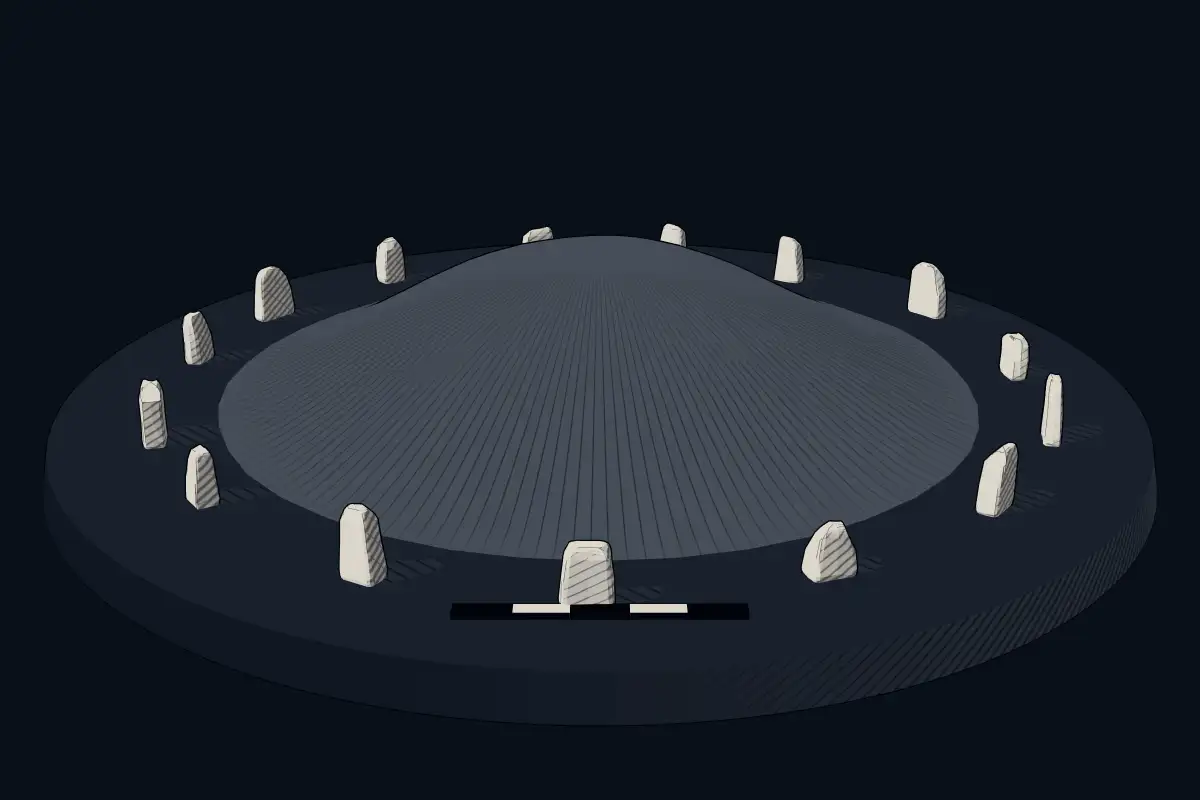
The reconstruction is ours, not a survey: it shows what a monument of this type looks like, at the size the record gives for this one.
Photographs
2 photographs, each with its author and licence
More photographs

Where it stands
South Korea
The pin marks the monument itself — its exact point.
- Coordinates
- 34°31′59″ N, 126°35′27″ EFor a GPS or map app: 34.53311, 126.59071
Access is as our sources describe it; we have not visited the site to check.
Nearby
The closest sites in the Atlas, by straight line.
 Haenam Bangsan-ri Janggobong Kofun
- SteleWando Gogumdo Gwanwangmyo Stele
- Megalithic tombOkdae Dolmen700–300 BCE
- Megalithic mound (tumulus with integral stones)Yeongam Taegan-ri Jarabong Gobun
 Gochang, Hwasun and Ganghwa Dolmen Sites1500 BCE–300 CE
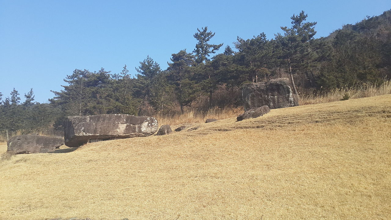 Hwasun Dolmen Site1000–1 BCE
- Megalithic mound (tumulus with integral stones)咸平長鼓山古墳
 Gwangju Myeonghwa-dong Janggobun


Sources
Every record behind this page, with the link it came from.
1 source behind this page
- 01Wikidata Q22125655wikidata.org
Image files
- Haenam Yongduri Gobun-1.JPGSaigen JiroCC0
- Haenam Yongduri Gobun-2.JPGSaigen JiroCC0
Report a correctionWrong date, name, photograph or source? Tell us and it will be put right.
Around this place
The ten nearest sites, by compass
- Haenam Bangsan-ri Janggobong Kofun12 km SE
- Wando Gogumdo Gwanwangmyo Stele29 km SE
- Okdae Dolmen30 km W
- Yeongam Taegan-ri Jarabong Gobun35 km N
- Gochang, Hwasun and Ganghwa Dolmen Sites57 km NE
- Hwasun Dolmen Site58 km NE
- 咸平長鼓山古墳65 km N
- Gwangju Myeonghwa-dong Janggobun67 km N
- Gwangju Samgeo-dong Dolmen Group69 km N
- Hampyeong Yedeok-ri Sindeok Gobungun76 km N
Credit
Text, licence and sources
Text from the Wikipedia article "海南龍頭里古墳" (Japanese), licensed CC BY-SA 4.0; authors are listed in the page history. Reused under CC BY-SA 4.0. Read on Wikipedia · Edit history and authors
- Wikipedia (Japanese): 海南龍頭里古墳CC BY-SA 4.0
- Wikidata Q22125655CC0