ipogeo il frantoio
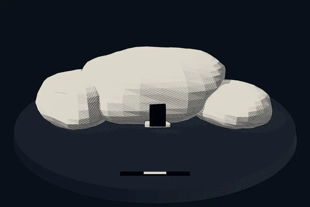
No licensed photograph yetWe have no photograph we may publish for this site, so the interpretive 3D view leads instead.
Overview
About this site
Overview
Ipogeo il frantoio is a hypogeum in Taranto, Italy. It lies at 40.4772° N, 17.2284° E.
Catalogue recordSources and licences
Article
ipogeo il frantoio
ContextSources for this section
- en.wikipedia.orgCC BY-SA 4.0
- en.wikipedia.orgCC BY-SA 4.0
- en.wikipedia.orgCC BY-SA 4.0
Sources for this section
- en.wikipedia.orgCC BY-SA 4.0
- en.wikipedia.orgCC BY-SA 4.0
- en.wikipedia.orgCC BY-SA 4.0
Domus de janas, Sardinian for "houses of the fairies" or, alternatively, "houses of witches", are a type of pre-Nuragic rock-cut chamber tomb found in Sardinia. The names are folklore: later people imagined the small carved rooms as dwellings of fairies or witches. In fact they are tombs, with several chambers quarried out by the people of the San Ciriaco through Ozieri cultures and later groups, in a layout that resembles a house. The regional background, “Domus de janas of Sardinia”, is given below.
Dating
No date has been published for this site.
Setting
6 other recorded monuments lie within 10 km (3 within 1 km, 6 within 5 km), 4 of them of the same type. In Taranto, Italy, 5 of the 7 recorded monuments are of this type.
The nearest recorded monuments are ipogeo fornace medievale (0.0 km north, hypogeum); ipogeo funerario (0.0 km south-west, hypogeum); Ipogeo De Beaumont Bonelli Bellacicco (0.3 km south-east, hypogeum); Tomba degli Atleti (1.9 km east, chambered cairn).
ProtectionSources for this section
Sources for this section
Heritage status: Italian national heritage.
Tradition and region
About this kind of monument
Domus de janas of Sardinia
Domus de janas, Sardinian for "houses of the fairies" or, alternatively, "houses of witches", are a type of pre-Nuragic rock-cut chamber tomb found in Sardinia. The names are folklore: later people imagined the small carved rooms as dwellings of fairies or witches. In fact they are tombs, with several chambers quarried out by the people of the San Ciriaco through Ozieri cultures and later groups, in a layout that resembles a house.
They were built mostly between 3400 and 2700 BCE, and so date to the Late Neolithic, the Chalcolithic and the early Bronze Age, including the Bell Beaker period. At Anghelu Ruju near Alghero a necropolis of them has 38 tombs. Other large sites are Montessu near Villaperuccio and Sant'Andrea Priu at Bonorva. Many more are found throughout the island, with the exception of Gallura, where the dead were usually buried in megalithic circles such as those of Li Muri.
The internal chambers vary in shape, from that of a rounded hut with a conical or triangular ceiling. The walls are often decorated with reliefs or etchings of spirals, zig-zags and bull's horns, and some neolithic murals are arguably the oldest known examples of egg tempera painting. Carved or painted false doors appear in about 20 tombs, mostly in the north-west, among them some at Anghelu Ruju, which are datable to between about 3200 and 1600 BCE; the earliest predate false doors in Egyptian tombs.
The Atlas sometimes files these tombs as chambered cairns, but they are the same Sardinian type, and this article applies to them.
When visiting, look for carving on the ceilings and walls, and note that tombs were reused over many centuries.
Paraphrased from Wikipedia: Domus de janas, Wikipedia: Nuragic civilization, Wikipedia: Nuraghe · CC BY-SA 4.0
Where it stands
Italy
The pin marks the monument itself — its exact point.
- Coordinates
- 40°28′38″ N, 17°13′42″ EFor a GPS or map app: 40.47719, 17.22837
Access is as our sources describe it; we have not visited the site to check.
Nearby
The closest sites in the Atlas, by straight line.


Sources
Every record behind this page, with the link it came from.
1 source behind this page
- 01Wikidata Q113660686wikidata.org
Report a correctionWrong date, name, photograph or source? Tell us and it will be put right.
Around this place
The ten nearest sites, by compass
- ipogeo fornace medievale<0.1 km N
- ipogeo funerario<0.1 km SW
- Ipogeo De Beaumont Bonelli Bellacicco0.3 km SE
- Tomba degli Atleti1.9 km E
- Tomba a Camera Via Pio XII3.0 km SE
- Ipogeo Genoviva3.0 km SE
- Specchia Facciasquata26 km NE
- Specchia Puledri27 km NE
- Specchia Casteluzzo o Miano30 km NE
- Specchia Capace32 km NE
Credit
Text, licence and sources
Compiled from open records (Wikidata, CC0; OpenStreetMap, ODbL) and a regional background article based on Wikipedia (CC BY-SA 4.0).
- Wikidata Q113660686CC0
- en.wikipedia.orgCC BY-SA 4.0
- en.wikipedia.orgCC BY-SA 4.0
- en.wikipedia.orgCC BY-SA 4.0