Timoney Stones
Also known asTimoney Hills Standing Stones
DatedEst. 4500–800 BCE
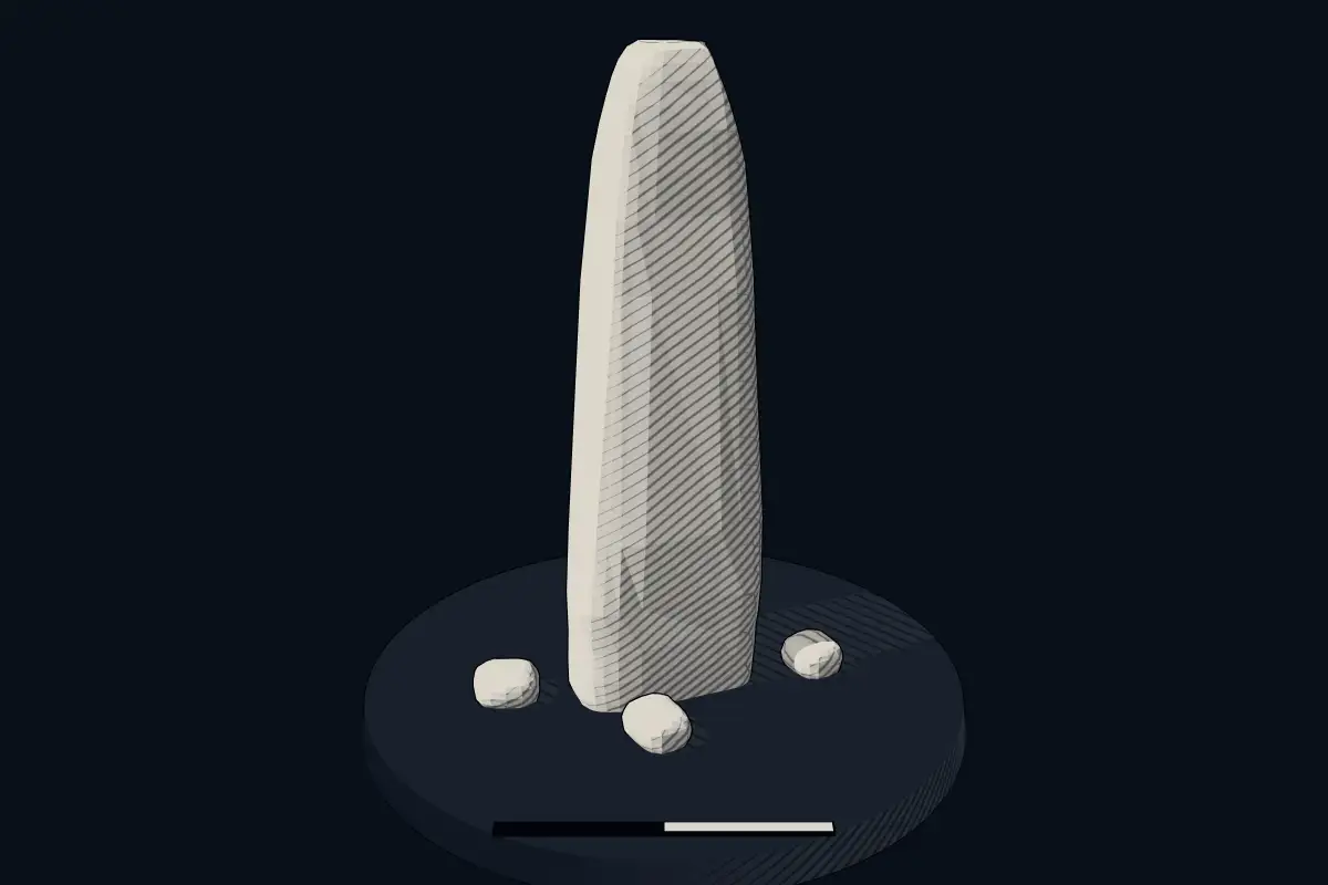
No licensed photograph yetWe have no photograph we may publish for this site, so the interpretive 3D view leads instead.
Overview
About this site
What the sources say
The Timoney Stones are a collection of standing stones forming a National Monument in County Tipperary, Ireland.
Read on Wikipedia3 min readCC BY-SA 4.0
Where it sits in time
The site's dated range, placed against world reference points.
The scale is logarithmic: each step to the left is about ten times older than the last.
The full article
Timoney Stones: the whole story
In briefSources for this section
- Wikipedia (English): Timoney StonesCC BY-SA 4.0
Sources for this section
- Wikipedia (English): Timoney StonesCC BY-SA 4.0
The Timoney Stones are a collection of standing stones forming a National Monument in County Tipperary, Ireland. They are found in the hills 8 km (5.0 mi) southeast of Roscrea, on the old Timoney Park estate, near the border with County Laois.
About 300 stones and five cairns were erected here, together with a stone circle. Of these, 121 stones survive, of which 93 are standing and 28 have fallen. They are scattered widely without any clear pattern, apart from some in threes, made of a tall stone, a short stone and a slab, some in pairs aligned N-S or E-W, and sixteen that form a stone circle 70 m (77 yd) across. The cairns have all been removed.
Their origin is a mystery. Some place the stones in the Neolithic, and others much more recently, in the 19th century. No excavation results or documented purpose are given.
Ireland is rich in menhirs, standing stones that are usually located in farmers' fields and heavily worn by the weather and by livestock. Menhirs are found across Europe, Africa and Asia, with a concentration in Western Europe, notably in Ireland, Great Britain and Brittany. Theories concerning their purpose remain speculative, with hypotheses including rituals, territorial markers and elements of an ideological system. Standing stones are usually difficult to date, because they were set up in many different periods of prehistory, which helps explain why the age of the Timoney Stones is so uncertain.
SettingSources for this section
- Wikipedia (English): Timoney StonesCC BY-SA 4.0
Sources for this section
- Wikipedia (English): Timoney StonesCC BY-SA 4.0
The Timoney Stones are found in the hills 8 km (5.0 mi) southeast of Roscrea, on the old Timoney Park estate, near the border with County Laois.
History and datingSources for this section
- Wikipedia (English): Timoney StonesCC BY-SA 4.0
Sources for this section
- Wikipedia (English): Timoney StonesCC BY-SA 4.0
About 300 stones and five cairns were erected here, and a stone circle. Their origin is a mystery, some placing them in the Neolithic and others much more recently (the 19th century).
DescriptionSources for this section
- Wikipedia (English): Timoney StonesCC BY-SA 4.0
Sources for this section
- Wikipedia (English): Timoney StonesCC BY-SA 4.0
121 stones survive, of which 93 are standing and 28 have fallen. They are scattered widely without any clear pattern, except for some in threes (a tall stone, a short stone and a slab), some in pairs (aligned N-S or E-W), and sixteen that form a stone circle 70 m (77 yd) across. The cairns have all been removed.
How this page was madeSources for this section
- Wikipedia (English): Timoney StonesCC BY-SA 4.0
Sources for this section
- Wikipedia (English): Timoney StonesCC BY-SA 4.0
The summary at the top of this page was written by Claude Sonnet 5.5 (2026-11-06) from the cited Wikipedia article “Timoney Stones”. The numbers in it were checked automatically against the source text. The rest of the page is the article itself, the structured records and computed distances.
Tradition and region
About this kind of monument
Irish standing stones
Ireland is rich in menhirs, standing stones that are usually located in farmers' fields and heavily worn by the weather and by livestock. Menhirs are found across Europe, Africa and Asia, with a concentration in Western Europe, notably in Ireland, Great Britain and Brittany. Theories concerning their purpose remain speculative, with hypotheses including rituals, territorial markers and elements of an ideological system. Standing stones are usually difficult to date, because they were set up in many different periods of prehistory.
One Irish stone is well dated by its art. The Turoe Stone, a 1.2-metre granite boulder in the village of Bullaun, County Galway, probably dates to about 100 BCE to 100 CE. The top half is covered with a continuous abstract curvilinear design in the La Tène Celtic style, similar to the Castlestrange Stone in County Roscommon. It is National Monument number 327. For centuries the stone was a curiosity at a lios, a "fairy fort", some 3 kilometres away, before it was moved to Turoe Farm; in 2025 it was moved temporarily for conservation. The "fairy fort" name is a folk tradition.
Ogham, the early medieval alphabet of Ireland, was cut on the edges of some standing stones. In Ireland it is traditional to carry a stone up from the bottom of a hill and add it to the cairn at the top.
The Atlas treats isolated Irish stones as undated unless there is excavation or art to show their age.
When visiting, look at the surface for carving.
Paraphrased from Wikipedia: Menhir, Wikipedia: Turoe Stone, Wikipedia: List of menhirs, Wikipedia: Ogham · CC BY-SA 4.0
See it in 3D
An interpretive reconstruction of the monument, standing on the real ground at its exact point, under the sun for that place and season. Drag to look around it.
The reconstruction is ours, not a survey: it shows what a monument of this type looks like, at the size the record gives for this one.
Lore
Evidence & Lore
What the sources actually support — and, kept apart, what has been claimed.
What the evidence supports
Dates
Est. 4500–800 BCEHow this date was established: Type comparisonTypological estimate, not a date for this site: a menhir in the British Isles is normally dated between 4500 BCE and 800 BCE (Atlas typological table).Source for this date
Measured facts
- Mainstream position
- The source states that the origin of the Timoney Stones is a mystery and presents conflicting Neolithic and more recent dates.Source: Mainstream position
- Location
- County Tipperary, IrelandSource: Location
- Components
- a stone circle, about 300 stones, and five cairnsSource: Components
- Status
- National Monument of IrelandSource: Status
- Heritage designation
- national monument of IrelandSource: Heritage designation
Alternative claims
Alternative claims about this site, kept in their own block and labelled with where they stand.
The stones were erected in the Neolithic.
DebatedSource for this claim: The stones were erected in the Neolithic.
The stones were erected much more recently, including in the 19th century.
DebatedSource for this claim: The stones were erected much more recently, including in the 19th century.
Where it stands
Ireland
The pin marks the monument itself — its exact point.
- Coordinates
- 52°54′13″ N, 7°42′54″ WFor a GPS or map app: 52.90370, -7.71500
Access is as our sources describe it; we have not visited the site to check.
Nearby
The closest sites in the Atlas, by straight line.
 Bayswell Leacht3700–2900 BCE
 Lismacrory Mounds3700–2900 BCE
- DolmenAshleypark Burial Mound3400–3300 BCE
- DolmenWedge Tomb von Knockcurraghbola Commons4000–3000 BCE
- DolmenKnockcurraghbola Crowlands I und II4000–3000 BCE
- Wedge tombLoughbrack wedge tomb2500–2000 BCE
- Wedge tombBaurnadomeeny2500–2000 BCE
 Shanballyedmond3750–2900 BCE


Sources
Every record behind this page, with the link it came from.
2 sources behind this page
- 01Wikidata Q1467180wikidata.org
- 02Wikipedia (en)en.wikipedia.org
Report a correctionWrong date, name, photograph or source? Tell us and it will be put right.
Lore, kept apart
Legends and claims
These are stories and claims reported by the sources. They are not evidence, and they never stand in for the dating above.
Around this place
The ten nearest sites, by compass
- Bayswell Leacht17 km S
- Lismacrory Mounds26 km NW
- Ashleypark Burial Mound32 km W
- Wedge Tomb von Knockcurraghbola Commons33 km SW
- Knockcurraghbola Crowlands I und II35 km SW
- Loughbrack wedge tomb37 km SW
- Baurnadomeeny42 km SW
- Shanballyedmond44 km SW
- Graves of the Leinstermen46 km W
- Steinreihe von Lackanagoneeny47 km SW
Credit
Text, licence and sources
Text from the Wikipedia article "Timoney Stones" (English), licensed CC BY-SA 4.0; authors are listed in the page history. Reused under CC BY-SA 4.0. Read on Wikipedia · Edit history and authors
- Wikipedia (English): Timoney StonesCC BY-SA 4.0
- Wikidata Q1467180CC0