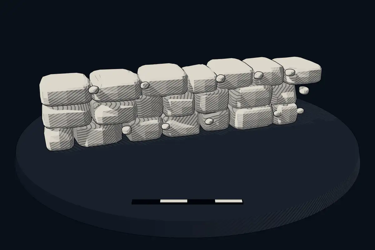
Cyclopean masonryClassical antiquity
The Howe
Datedc. 320 BCE–230 CE
No licensed photograph yetWe have no photograph we may publish for this site, so the interpretive 3D view leads instead.
Overview
About this site
Overview
The Howe is an Iron Age broch on Mainland, Orkney, Scotland, standing above the Bay of Ireland near the Loch of Stenness, north-east of Stromness. Radiocarbon dates in the catalogue range from 320 BCE to 230 CE.
Excavations at Howe and at the Broch of Bu helped clarify the origin of the Orcadian broch tradition, especially its architecture, better than the earlier excavations at Gurness and Midhowe had done.
Read on Wikipedia3 min readCC BY-SA 4.0
Where it sits in time
The site's dated range, placed against world reference points.
The scale is logarithmic: each step to the left is about ten times older than the last.
Article
The Howe
The place then remained unused for more than 2000 years, until Iron Age activity began from the 8th century BC.
ExcavationsSources for this section
- Wikipedia (German): Broch von HoweCC BY-SA 4.0
Sources for this section
- Wikipedia (German): Broch von HoweCC BY-SA 4.0
Excavations by John Hedges from 1978 to 1982 revealed a complex history of the site. It originally held a Neolithic tomb. The place then remained unused for more than 2000 years, until Iron Age activity began from the 8th century BC.
ConstructionSources for this section
- Wikipedia (German): Broch von HoweCC BY-SA 4.0
Sources for this section
- Wikipedia (German): Broch von HoweCC BY-SA 4.0
In the 4th or 3rd century BC the ground was levelled and the burial chamber was converted into a souterrain. The souterrain was sealed with a layer of clay and a large roundhouse was built, which at some point collapsed. It was replaced by a structure designated Broch 1, although there is no evidence that it was a tower. As at the Broch of Crosskirk, the building and its outbuildings were surrounded by a stone wall and a ditch. Little of the internal construction survives, but there were guard cells in the entrance and intramural stairs. These were on such a scale that they weakened walls only 3½ to 4 m thick, and Broch 1 collapsed. Its users at once built a new tower, known as Broch 2, with an outer wall about 5½ m thick. This also appears to have collapsed once during building, but was completed. The successive failures show the builders in an experimental phase.
DescriptionSources for this section
- Wikipedia (German): Broch von HoweCC BY-SA 4.0
Sources for this section
- Wikipedia (German): Broch von HoweCC BY-SA 4.0
The entrance passage to the interior was 5.5 m long, with a door check about 1.5 m from the inner end, and had no guard cells. The floor of a broch served many functions; the hearth, which usually lay there, has almost disappeared at Howe. The interior was divided into areas by upright slabs and has a layout similar to that of the neighbouring Broch of Bu. At the centre is a round area about 4 m in diameter. To the right of the entrance a passage more than 2 m wide, bounded on the inside by upright slabs, runs round about two thirds of the circumference. The remaining third is formed by three two-storey wall cupboards of stone slabs and partitions. An intramural cell with a flight of steps lies on the west side, about 1.3 m above floor level. The walls survive to a height of only about 4 m, and there was no evidence of an upper floor, whether from ledges or timber posts.
ContextSources for this section
- Wikipedia (German): Broch von HoweCC BY-SA 4.0
Sources for this section
- Wikipedia (German): Broch von HoweCC BY-SA 4.0
A broch is an Iron Age hollow-walled drystone tower found in Scotland, which holds more than 500 of them. Brochs belong to the class that Scottish archaeologists call complex Atlantic roundhouses; there are approximately 571 candidate sites, concentrated in northern Scotland, with the densest groups in Caithness, Sutherland and the Northern Isles.
Tradition and region
About this kind of monument
Scottish brochs
A broch is an Iron Age hollow-walled drystone tower found in Scotland, and Scotland holds more than 500 of them. Brochs belong to the class that Scottish archaeologists call "complex Atlantic roundhouses". There are approximately 571 candidate sites, concentrated in northern Scotland, with the densest groups in Caithness, Sutherland and the Northern Isles. The Atlas files them under "cyclopean masonry" because of the heavy drystone walls, but they are Scottish Iron Age buildings, unrelated to the Mycenaean walls that give that term its name.
The finest is the Broch of Mousa in Shetland, the tallest broch still standing and among the best-preserved prehistoric buildings in Europe; it is thought to have been built about 300 BCE. Midhowe Broch on Rousay in Orkney has an internal diameter of 9 metres within a wall 4.5 metres thick, which still stands more than 4 metres high. At the Broch of Gurness on Mainland Orkney, a village grew around a tower that probably once reached about 10 metres; settlement began between 500 and 200 BCE, and Robert Rendall found it in 1929.
Dating is not secure. Most brochs may have been built from about 300 BCE; a sheep bone at Old Scatness in Shetland dates to between 390 and 200 BCE. The old view that brochs were defensive refuges for people and their livestock has been challenged: it has been argued that they were the "stately homes" of their time, showing the status of important families, though there is no archaeological proof, and the purpose may have combined defensive, offensive and symbolic functions.
When visiting, look for the two skins of drystone wall with a stair or gallery between them, and for the settlement of smaller houses around the tower.
Paraphrased from Wikipedia: Broch, Wikipedia: Mousa Broch, Wikipedia: Dun Carloway, Wikipedia: Midhowe Broch, Wikipedia: Gurness Broch, Wikipedia: Cyclopean masonry · CC BY-SA 4.0
From the article
Dated moments in the story
- 1978
Die von 1978 bis 1982 erfolgten Ausgrabungen von John Hedges ergaben eine komplexe Vergangenheit des Platzes.
Source
Lore
Evidence & Lore
What the sources actually support — and, kept apart, what has been claimed.
What the evidence supports
Dates
320 BCE–230 CEHow this date was established: Radiocarbon dating26 radiocarbon dates in the p3k14c database (Bird et al. 2022, Scientific Data 9:27 (p3k14c radiocarbon database)) between 1170 and 2420 BP; the range shown is the middle half of the measurements; uncalibrated ages, shown as calendar years with the conventional BP + 1950 conversion.Source for this date
Where it stands
United Kingdom
The pin marks the monument itself — its exact point.
- Coordinates
- 58°58′45″ N, 3°15′42″ WFor a GPS or map app: 58.97926, -3.26176
Access is as our sources describe it; we have not visited the site to check.
Nearby
The closest sites in the Atlas, by straight line.



Sources
Every record behind this page, with the link it came from.
2 sources behind this page
- 01Wikidata Q19835769wikidata.org
- 02Source for this datep3k14c.org
Report a correctionWrong date, name, photograph or source? Tell us and it will be put right.
Around this place
The ten nearest sites, by compass
Credit
Text, licence and sources
Adapted from the Wikipedia article "Broch von Howe" (German), licensed CC BY-SA 4.0; authors are listed in the page history. Reused under CC BY-SA 4.0. Read on Wikipedia · Edit history and authors
- Wikipedia (German): Broch von HoweCC BY-SA 4.0
- Wikidata Q19835769CC0