Greco-Roman Rock Tombs
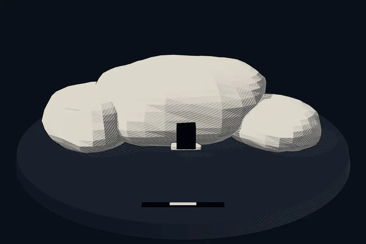
No licensed photograph yetWe have no photograph we may publish for this site, so the interpretive 3D view leads instead.
Overview
About this site
What the sources say
Greco-Roman Rock Tombs is a hypogeum in Kyrenia, Cyprus. The catalogue places it at 35.3419° N, 33.3183° E and links it to Wikidata item Q138647425.
Built from structured records, not from an articleSources and licences
The full article
About Greco-Roman Rock Tombs
This kind of monument hereSources for this section
- en.wikipedia.orgCC BY-SA 4.0
- en.wikipedia.orgCC BY-SA 4.0
- en.wikipedia.orgCC BY-SA 4.0
- en.wikipedia.orgCC BY-SA 4.0
Sources for this section
- en.wikipedia.orgCC BY-SA 4.0
- en.wikipedia.orgCC BY-SA 4.0
- en.wikipedia.orgCC BY-SA 4.0
- en.wikipedia.orgCC BY-SA 4.0
The Atlas uses the heading "other" for stone monuments that fit none of its other types, and the same article serves for underground chambers that have no regional article. The records are varied. Many are ziggurats, Egyptian temples and pyramids, and Maya and Andean sites, which are treated in their own articles. What remains is a scatter of single sites in many countries whose descriptions do not allow a closer classification. Further down this page, About this kind of monument gives the whole of “Other prehistoric stone monuments”.
Dating
No date has been recorded for this site, and the Atlas does not guess one. Where a regional range exists for this kind of monument it is given in the notes on this page, as background and not as a date for this site.
Landscape and neighbours
No other catalogued site lies within 10 km of it. The nearest is Choirokoitia, 60.6 km to the south. In Kyrenia, Cyprus, 1 of the 1 catalogued sites are classed as hypogeum.
The closest catalogued sites are Choirokoitia (60.6 km south, other / unclassified); Khirokitia (60.7 km south, other / unclassified); Karyağdı Deresi Rölyefli Kaya Mezarı (149.1 km north-east, hypogeum); Olba Rölyefli Kaya Mezarı (151.5 km north-east, hypogeum). The catalogue is assembled from open records and is not complete, so unrecorded monuments may lie closer.
Records and protectionSources for this section
Sources for this section
The open records used here carry no heritage designation for the site, which says nothing either way about its legal status. The open records for it are Wikidata (Q138647425), where corrections and further identifiers can be added. Many such sites stand on private land; check local access rules and respect the monument and its surroundings.
How this page was madeSources for this section
Sources for this section
This page was built automatically from Wikidata (CC0) and the regional article “Other prehistoric stone monuments”, written for the Atlas from the Wikipedia articles it cites (CC BY-SA 4.0), plus distances and counts computed from the catalogue coordinates. It contains no AI-written text.
Tradition and region
About this kind of monument
Other prehistoric stone monuments
The Atlas uses the heading "other" for stone monuments that fit none of its other types, and the same article serves for underground chambers that have no regional article. The records are varied. Many are ziggurats, Egyptian temples and pyramids, and Maya and Andean sites, which are treated in their own articles. What remains is a scatter of single sites in many countries whose descriptions do not allow a closer classification.
Several of these are underground. A hypogeum is literally an "underground" temple or tomb, often with niches for cremated remains or loculi for buried remains. An early example is found at the Minoan Bronze Age site of Knossos on Crete, a beehive-shaped vault cut into soft rock. The Hypogeum of Ħal Saflieni in Paola, Malta, is the oldest example of a prehistoric hypogeum, with its earliest phase dated to 3600 to 3300 BCE. It is a complex of underground chambers, halls and passages covering about 500 square metres on three levels, partly carved to imitate temple architecture and containing extensive prehistoric art.
A rock-cut tomb is cut into an existing rock formation, usually a cliff or sloping rock face, and was a common burial form for the wealthy in several parts of the world. Famous clusters are in Egypt, Iran, Lycia in Turkey, Petra in Jordan and Sicily. Phrygian rock-cut tombs such as the Midas monument date to about 700 BCE, and Etruscan ones to about 500 BCE.
The general rule for these records is that the type tells you how a monument was made, not who made it or when. Dating is taken from the source for each site where a source gives one, and otherwise left as a broad range.
When visiting, read the site's own description first, since the Atlas can offer only a general frame.
Paraphrased from Wikipedia: Megalith, Wikipedia: Hypogeum, Wikipedia: Rock-cut tomb, Wikipedia: Stele · CC BY-SA 4.0
Where it stands
Cyprus
The pin marks the monument itself — its exact point.
- Coordinates
- 35°20′31″ N, 33°19′06″ EFor a GPS or map app: 35.34190, 33.31834
Access is as our sources describe it; we have not visited the site to check.
Nearby
The closest sites in the Atlas, by straight line.


Sources
Every record behind this page, with the link it came from.
1 source behind this page
- 01Wikidata Q138647425wikidata.org
Report a correctionWrong date, name, photograph or source? Tell us and it will be put right.
Around this place
The ten nearest sites, by compass
Credit
Text, licence and sources
This page is assembled from open records (Wikidata, CC0; OpenStreetMap, ODbL) and a tradition article paraphrasing Wikipedia (CC BY-SA 4.0). No article exists for this site, and nothing here is written by a model.
- Wikidata Q138647425CC0
- en.wikipedia.orgCC BY-SA 4.0
- en.wikipedia.orgCC BY-SA 4.0
- en.wikipedia.orgCC BY-SA 4.0
- en.wikipedia.orgCC BY-SA 4.0