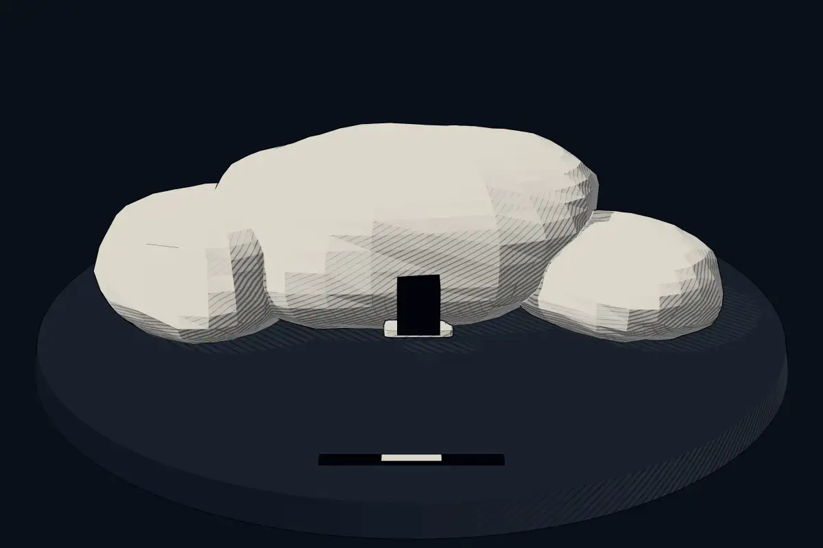
Ev Kaya Mezarları, Kastamonu
No licensed photograph yetWe have no photograph we may publish for this site, so the interpretive 3D view leads instead.
Overview
About this site
Overview
Ev Kaya Mezarları, Kastamonu is a hypogeum in Kastamonu, Turkey. It lies at 41.3700° N, 33.7698° E.
Catalogue recordSources and licences
Article
Ev Kaya Mezarları, Kastamonu
ContextSources for this section
- en.wikipedia.orgCC BY-SA 4.0
- en.wikipedia.orgCC BY-SA 4.0
- en.wikipedia.orgCC BY-SA 4.0
Sources for this section
- en.wikipedia.orgCC BY-SA 4.0
- en.wikipedia.orgCC BY-SA 4.0
- en.wikipedia.orgCC BY-SA 4.0
A rock-cut tomb is a burial chamber cut into a naturally occurring rock formation, usually into a cliff or sloping rock face, though it may also go downward in flat ground. It was a common burial form for the wealthy in ancient times in several parts of the world. A hypogeum, literally "underground", is a subterranean temple or tomb that often has niches for cremated remains or loculi for buried ones. The regional background, “Rock-cut tombs of Anatolia and Iran”, is given below.
Dating
No date has been published for this site.
Setting
2 other recorded monuments lie within 10 km (1 within 1 km, 2 within 5 km), 2 of them of the same type. In Kastamonu, Turkey, 3 of the 3 recorded monuments are of this type.
The nearest recorded monuments are Kaya Mezarı 1 (Kastamonu) (0.3 km north, hypogeum); Şehinşah Kaya Mezarı (1.7 km north-east, hypogeum); Tınartepe Tümülüsü (22.4 km north-east, megalithic mound); Tepe Arkası Mevkii Tümülüsü (25.1 km north-east, megalithic mound).
ProtectionSources for this section
Sources for this section
No heritage designation is recorded for the site.
Tradition and region
About this kind of monument
Rock-cut tombs of Anatolia and Iran
A rock-cut tomb is a burial chamber cut into a naturally occurring rock formation, usually into a cliff or sloping rock face, though it may also go downward in flat ground. It was a common burial form for the wealthy in ancient times in several parts of the world. A hypogeum, literally "underground", is a subterranean temple or tomb that often has niches for cremated remains or loculi for buried ones.
Important clusters are found in Iran and Turkey. At Naqsh-e Rostam, about 13 kilometres north-west of Persepolis in Fars province, the cliff face holds the tombs of four Achaemenid kings, notably Darius the Great and his son Xerxes, and a series of rock reliefs cut over more than a millennium from the Elamites and Achaemenids to the Sasanians. Other notable clusters are at Myra in Lycia, in south-west Turkey, at Petra in Jordan, where the Nabataeans cut tombs, and in ancient Israel.
The tombs of kings can be dated through the rulers they name, but an uninscribed rock-cut chamber in the countryside can only be assigned a broad range, since a cut chamber holds no material that can be dated by itself.
Folklore: the name Naqsh-e Rostam means "mural of Rostam", after the legendary hero of Iranian tradition, though the reliefs are the work of Elamite, Achaemenid and Sasanian kings.
When visiting, look at the façades and the position of the tombs high on the rock face.
Paraphrased from Wikipedia: Rock-cut tomb, Wikipedia: Hypogeum, Wikipedia: Naqsh-e Rustam · CC BY-SA 4.0
Where it stands
Turkey
The pin marks the monument itself — its exact point.
- Coordinates
- 41°22′12″ N, 33°46′11″ EFor a GPS or map app: 41.36997, 33.76982
Access is as our sources describe it; we have not visited the site to check.
Nearby
The closest sites in the Atlas, by straight line.
- Hypogeum (rock-cut)Kaya Mezarı 1 (Kastamonu)
- Hypogeum (rock-cut)Şehinşah Kaya Mezarı
- Megalithic mound (tumulus with integral stones)Tınartepe Tümülüsü700–50 BCE
- Megalithic mound (tumulus with integral stones)Tepe Arkası Mevkii Tümülüsü700–50 BCE
- Hypogeum (rock-cut)Kalekapı Kaya Mezarı
- Megalithic mound (tumulus with integral stones)Kabaderesi Tümülüsü700–50 BCE
- Megalithic mound (tumulus with integral stones)Kayı Village Tumulus700–50 BCE
- Hypogeum (rock-cut)İndağı Kaya Mezarları
Sources
Every record behind this page, with the link it came from.
1 source behind this page
- 01Wikidata Q134728176wikidata.org
Report a correctionWrong date, name, photograph or source? Tell us and it will be put right.
Around this place
The ten nearest sites, by compass
Credit
Text, licence and sources
Compiled from open records (Wikidata, CC0; OpenStreetMap, ODbL) and a regional background article based on Wikipedia (CC BY-SA 4.0).
- Wikidata Q134728176CC0
- en.wikipedia.orgCC BY-SA 4.0
- en.wikipedia.orgCC BY-SA 4.0
- en.wikipedia.orgCC BY-SA 4.0