
Megalithic complexUNESCO World Heritage
Bat, Al-Khutm and Al-Ayn
Also known asBat Oman beehive tombs
Datedc. 3000–2000 BCE
Photo F igy · Public domainSource file on Wikimedia Commons

Overview
About this site
What the sources say
The Archaeological Sites of Bat, Al-Khutm and Al-Ayn (Arabic: ٱلْمَوَاقِع ٱلْأَثَرِيَّة فِيْ بَات وَٱلْخُطْم وَٱلْعَيْن, romanized: Al-Mawāqiʿ al-Athariyyah fī Bāt wal-Khuṭm wal-ʿAyn) are a group of beehive tombs or necropolis from the Hafit period in the 3rd Millennium BC, located near a palm grove in Oman. They were declared World Heritage by UNESCO in 1988, becoming only the second such Omani site after the Bahla Fort was designated world heritage in 1987.
Read on Wikipedia4 min readCC BY-SA 4.0
Age sources
How old this site is, and who says so.
Range across all claimsc. 3000–2000 BCE
EstimatedWhat this badge means
A reading of this site: what its style says, or a statement published about it.
- 3000–2000 BCEPublished source3rd millennium BCE (beehive tombs)Source: en.wikipedia.org
- 3000–2001 BCEAtlas research notes3rd millennium BCE (beehive tombs)Source: en.wikipedia.org
Where it sits in time
The site's dated range, placed against world reference points.
The scale is logarithmic: each step to the left is about ten times older than the last.
The full article
Bat, Al-Khutm and Al-Ayn: the whole story
In briefSources for this section
Sources for this section
The Archaeological Sites of Bat, Al-Khutm and Al-Ayn are a group of beehive tombs or necropolis from the Hafit period in the 3rd Millennium BC, located near a palm grove in Oman. They were declared World Heritage by UNESCO in 1988, becoming only the second such Omani site after the Bahla Fort was designated world heritage in 1987.
The site of Bat lies inside a palm grove. Around 3000 B.C. there was an intense trade of copper, extracted locally, and stone, probably diorite, with the Sumerians. The necropolis consists of 100 graves and circular buildings, each with a diameter of about 20 metres (66 feet). These buildings have no outside openings, so besides a possible ritual function they may have been used as tanks or silos; their precise function is not yet known. In 1972 excavations by a Danish team led by Karen Frifelt showed that the area has been continuously inhabited for 4000 years.
The ruins at Al-Khutm are thought to derive from a stone fort, with a tower made of rock with a diameter of 20 metres (66 feet), located 2 kilometres (1.2 miles) west of Bat. Al-Ayn is a small necropolis, but it is in the best condition of the three. It is located 22 kilometres (14 miles) southeast of Bat.
The sites were not restored or conserved before the protection provided by UNESCO, so their isolation has been their only protection. One of the greatest dangers to their preservation comes from locals who take building material from the archaeological sites. A road between Oman and Saudi Arabia that passes through the villages was completed in September 2021.
Little more is recorded about these tombs. Landscapes of this kind, where several kinds of monument stand together, show how monuments relate to one another and to the land around them, and the Atlas treats such places as megalithic complexes.
History and datingSources for this section
Sources for this section
Studies during the last 15 years have shown the existence of numerous human settlements ranging from the Persian Gulf to the Gulf of Oman.
Bat
The site of Bat is located inside a palm grove. Around 3000 B.C., there was an intense trade of copper (extracted locally) and stone (probably diorite) with Sumerians. The necropolis consists of 100 graves and circular buildings each with a diameter of about 20 metres (66 feet). These buildings have no outside openings, so besides the possibility of their ritualistic function, they may have been used as tanks or silos. Their precise function is as of yet unknown. In 1972, the excavations carried out by a Danish team led by Karen Frifelt showed that the area has been continuously inhabited for 4000 years.
Al-Khutm
The ruins at Al-Khutm are thought to have derived from a stone fort, with a tower made of rock with a diameter of 20 metres (66 feet). They are located 2 kilometres (1.2 miles) west of Bat.
Al-Ayn
Al-Ayn is a small necropolis, although it is in the best condition of the three necropolises. It is located 22 kilometres (14 miles) southeast of Bat.
Conservation and modern historySources for this section
Sources for this section
The sites have not been subjected to restoration or other types of conservation before the protection provided by UNESCO, so their isolation has been their only protection. One of the greatest dangers concerning the sites preservation comes from locals who take building material from the archaeological sites.
DevelopmentSources for this section
Sources for this section
A road between Oman and Saudi Arabia, which goes through the villages, was completed in September 2021. Measuring between 700 and 800 kilometres (430 and 500 miles) in total, it extends from the town of Ibri in Oman to Al-Ahsa in eastern Saudi Arabia. The Omani side of the road measures approximately 160 km (99 miles), and the Saudi side 580 km (360 miles).
How this page was madeSources for this section
Sources for this section
The summary at the top of this page was written by Claude Sonnet 5.5 (2026-11-06) from the cited Wikipedia article “Archaeological Sites of Bat, Al-Khutm and Al-Ayn”. The numbers in it were checked automatically against the source text. The rest of the page is the article itself, the structured records and computed distances.
Tradition and region
About this kind of monument
Megalithic complexes
A megalithic complex is a landscape in which several kinds of monument stand together, so that the whole is more than any one piece. Examples include the Carnac stones in Brittany, where alignments, dolmens, tumuli and menhirs lie together; Brú na Bóinne in Ireland, a ritual landscape of at least ninety monuments; the Antequera dolmens in Spain; the Heart of Neolithic Orkney; and the temples of Malta.
At Antequera, the Dolmens of Menga and Viera and the tholos of El Romeral, together with two natural features, a rock outcrop and a mountain range, form the Antequera Dolmens Site, inscribed as a World Heritage Site in 2016. In Orkney the Standing Stones of Stenness and the Ring of Brodgar stand between two lochs, with the chambered cairn of Maeshowe and the village of Skara Brae nearby, as parts of the Heart of Neolithic Orkney.
Such landscapes show how monuments relate to each other and to the land. Newgrange is aligned so that the rising sun at midwinter shines into the chamber. At Carrowmore, the tombs form one of the largest clusters in Ireland in a ritual landscape dominated by the mountain of Knocknarea, which has a great cairn on its summit. How far these relations were intended is debated.
Dating a complex is a matter of dating its parts. A complex usually grew over centuries, and its monuments can differ in age by a thousand years or more.
When visiting, plan to see the whole landscape, from the monuments to the hills and water around them.
Paraphrased from Wikipedia: Megalith, Wikipedia: Carnac stones, Wikipedia: Megalithic Temples of Malta, Wikipedia: Brú na Bóinne, Wikipedia: Antequera Dolmens Site, Wikipedia: Orkney, Wikipedia: Skara Brae, Wikipedia: Maes Howe, Wikipedia: Standing Stones of Stenness, Wikipedia: Carrowmore, Wikipedia: Knocknarea · CC BY-SA 4.0
From the article
Dated moments in the story
- 3000 BCE
Around 3000 B.C., there was an intense trade of copper (extracted locally) and stone (probably diorite) with Sumerians.
Source - 1972
In 1972, the excavations carried out by a Danish team led by Karen Frifelt showed that the area has been continuously inhabited for 4000 years. The ruins at Al-Khutm are thought to have derived from a stone fort, with a tower made of rock with a diameter of 20 metres (66 feet).
Source - 1988
They were declared World Heritage by UNESCO in 1988, becoming only the second such Omani site after the Bahla Fort was designated world heritage in 1987.
Source - 2021
A road between Oman and Saudi Arabia, which goes through the villages, was completed in September 2021. Measuring between 700 and 800 kilometres (430 and 500 miles) in total, it extends from the town of Ibri in Oman to Al-Ahsa in eastern Saudi Arabia.
Source
Photographs
7 photographs, each with its author and licence
More photographs


Lore
Evidence & Lore
What the sources actually support — and, kept apart, what has been claimed.
What the evidence supports
Dates
3000–2000 BCEHow this date was established: Stated by the source3rd millennium BCE (beehive tombs)Source for this date
Measured facts
- Site type
- Group of beehive tombs or necropolisSource: Site type
- Period
- Hafit periodSource: Period
- Setting
- Near a palm grove in OmanSource: Setting
- Heritage status
- UNESCO World Heritage SiteSource: Heritage status
- Designation year
- 1988Source: Designation year
- Nearby settlements
- Numerous settlements extending from the Persian Gulf to the Gulf of OmanSource: Nearby settlements
- Heritage designation
- World Heritage SiteSource: Heritage designation
Where it stands
Oman
The pin marks the monument itself — its exact point.
- Coordinates
- 23°16′12″ N, 56°44′42″ EFor a GPS or map app: 23.27000, 56.74500
Access is as our sources describe it; we have not visited the site to check.
Nearby
The closest sites in the Atlas, by straight line.
- Chambered cairnSiambrau claddu al-Ayn
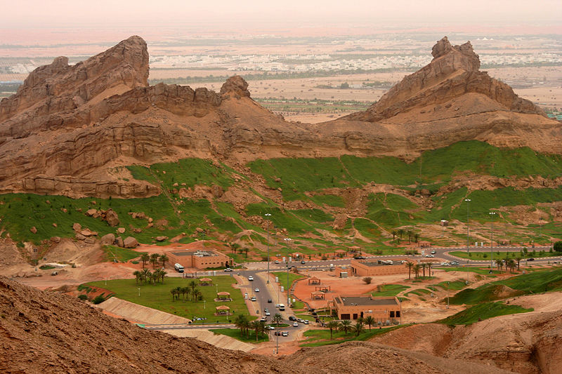 Jabal Hafit3200–2600 BCE
 Al Ain Oasis500 BCE–1200 CE
 Milehah500 BCE–1200 CE
 Dilmun Burial Mounds500 BCE–1200 CE
Photo: © Think Heritage Author: Melanie Münzner · CC BY-SA 1.0
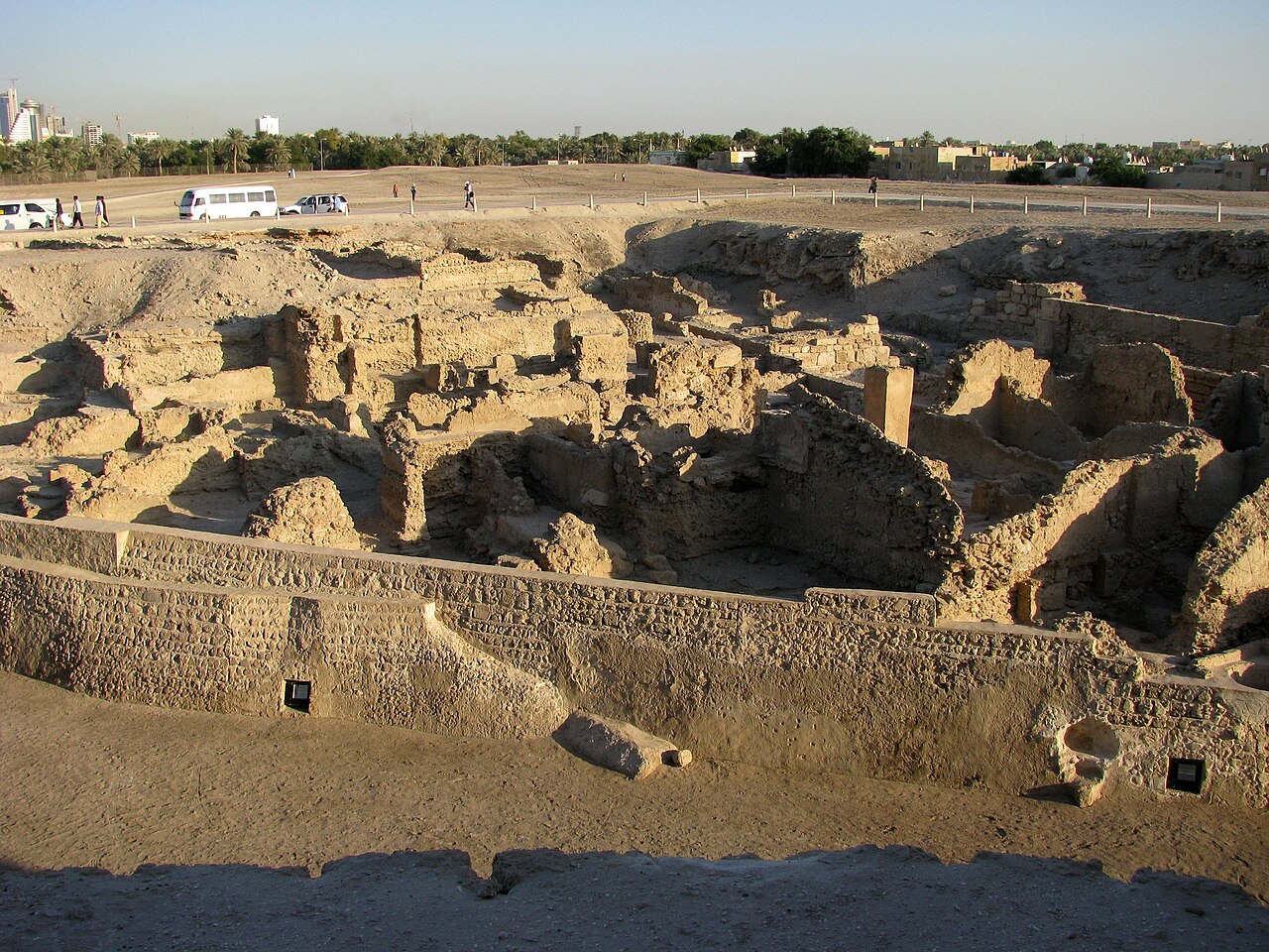 Qal’at al Bahrain500 BCE–1200 CE
 Barbar Temple2100–2000 BCE
- Hypogeum (rock-cut)Unfinished Tomb of Darius III


Sources
Every record behind this page, with the link it came from.
4 sources behind this page
- 01Q25496wikidata.org
- 02Archaeological_Sites_of_Bat,_Al-Khutm_and_Al-Aynen.wikipedia.org
- 03Wikipedia (en)en.wikipedia.org
- 04World Heritage List entry 434whc.unesco.org
Image files
- World Heritage Grave Al Ayn Oman.JPGF igyPublic domain
- Al Ayn, tombs (6871088461).jpgArian ZwegersCC BY 2.0
- Beehive Burial near border with Al Ain.jpgLxsCC BY 4.0
- Dunst Oman scan0525 - Wadi Al-Ayn.jpgBernhard DunstCC BY-SA 4.0
- Jaylah Beehive Tombs Oman.jpgEsra1993CC BY-SA 4.0
- Beehive Tombs, Qubur Juhhal at Al Ayn, Oman.jpgAlfred Weidinger from Vienna, AustriaCC BY 2.0
- Bat Al Ayn Beehive Tombs UNESCO Oman.jpgEsra1993CC BY-SA 4.0
Report a correctionWrong date, name, photograph or source? Tell us and it will be put right.
Around this place
The ten nearest sites, by compass
Credit
Text, licence and sources
Text from the Wikipedia article "Archaeological Sites of Bat, Al-Khutm and Al-Ayn" (English), licensed CC BY-SA 4.0; authors are listed in the page history. Reused under CC BY-SA 4.0. Read on Wikipedia · Edit history and authors