
menhir de Kergastel
DatedEst. 2800–1800 BCE
Photo Liberliger · CC BY-SA 4.0Source file on Wikimedia Commons
Overview
About this site
What the sources say
Le menhir de Kergastel est un menhir situé à Penvénan dans le département français des Côtes-d'Armor.
Article in FrenchRead on Wikipedia2 min readCC BY-SA 4.0
Where it sits in time
The site's dated range, placed against world reference points.
The scale is logarithmic: each step to the left is about ten times older than the last.
The full article
menhir de Kergastel: the whole story
In briefSources for this section
- Wikipedia (French): Menhir de KergastelCC BY-SA 4.0
Sources for this section
- Wikipedia (French): Menhir de KergastelCC BY-SA 4.0
The Menhir de Kergastel is a standing stone at Penvénan in the French department of Côtes-d'Armor. It is made from Perros granite and is incorporated into the bank of a roadside.
The menhir stands 2,05 m high and reaches a maximum width of 1 m at its base. Its face has a shoulder-like projection, giving it a roughly human-shaped profile. The stone survives as an upright monument, although it is now built into a roadside embankment.
A typological estimate places the Menhir de Kergastel between 2800 BCE and 1800 BCE. This dating method identifies a likely period from the monument’s characteristics; the available information does not give a more precise date for this stone.
Standing stones are also called menhirs, orthostats or liths. Such large upright stones are found singly or in groups across Europe, Africa and Asia, with many concentrated in Western Europe. Their purposes remain uncertain, and proposed functions include rituals, territorial marking and parts of an ideological system.
No English Wikipedia article exists for it; the full text below is the French article "Menhir de Kergastel", shown in the original language.
Summary in EnglishSources for this section
- Wikipedia (French): Menhir de KergastelCC BY-SA 4.0
Sources for this section
- Wikipedia (French): Menhir de KergastelCC BY-SA 4.0
menhir de Kergastel is a menhir (standing stone) in Kingdom of the Netherlands. A typological estimate: 2800 BCE to 1800 BCE. No English Wikipedia article exists for it; the full text below is the French article "Menhir de Kergastel", shown in the original language.
DescriptionSources for this section
- Wikipedia (French): Menhir de KergastelCC BY-SA 4.0
Sources for this section
- Wikipedia (French): Menhir de KergastelCC BY-SA 4.0
Le menhir est inclus dans le talus d'un bord de route. Il est en granite de Perros et mesure 2,05 m de hauteur pour une largeur maximale de 1 m à la base. La face est comporte un épaulement qui lui donne un profil vaguement anthropomorphe.
AnnexesSources for this section
- Wikipedia (French): Menhir de KergastelCC BY-SA 4.0
Sources for this section
- Wikipedia (French): Menhir de KergastelCC BY-SA 4.0
Bibliographie
: document utilisé comme source pour la rédaction de cet article.
Anne Marchat et Michelle Le Brozec, Les mégalithes de l'arrondissement de Lannion, Institut Culturel de Bretagne, 1991, 102 p. (ISBN 2868220398), p. 27.
Articles connexes
Sites mégalithiques des Côtes-d'Armor
Portail du mégalithisme Portail des Côtes-d’Armor
How this page was madeSources for this section
- Wikipedia (French): Menhir de KergastelCC BY-SA 4.0
Sources for this section
- Wikipedia (French): Menhir de KergastelCC BY-SA 4.0
The summary at the top of this page was written by MiniMax-M3 (2026-11-08) from the cited Wikipedia article “Menhir de Kergastel”, translated from French. The numbers in it were checked automatically against the source text. The rest of the page is the article itself, the structured records and computed distances.
Tradition and region
About this kind of monument
Menhirs
A menhir, also called a standing stone, orthostat or lith, is a large upright stone placed by humans, typically dating from the European middle Bronze Age, although many are far older. They stand singly or in groups, vary greatly in size, and often taper toward the top. Menhirs are found across Europe, Africa and Asia, with a concentration in Western Europe, notably in Ireland, Great Britain and Brittany. Theories about their purpose remain speculative and include rituals, territorial markers and elements of an ideological system. Some bear engravings, including human figures and symbols, and are often associated with ancient religious ceremonies and burial chambers. Because the great majority are on coasts, islands and peninsulas, it is believed that practitioners of megalithic religions travelled by sea.
Armenia has numerous menhirs known as vishapakar, "dragon stones", which are cigar-shaped, typically 3 to 6 metres tall and often found in the mountains near the sources of rivers or lakes. Many are carved in the shape of a fish. An inscription in Urartian cuneiform on one at the temple of Garni shows that they were made before the Urartian kingdom, before the eighth century BCE, and the earliest are thought to date to the eighteenth to sixteenth centuries BCE.
In Bulgaria several menhirs are known in villages such as Ovcharovo and Pethocladentsi. Standing stones in Indonesia and India are described in their own articles.
Dating is a standing difficulty: standing stones are usually hard to date, since they were raised during many different periods of prehistory. The Atlas gives a broad range and marks it as an estimate.
When visiting, look for the shape and surface of the stone, its setting on a rise or by water, and any carving.
Paraphrased from Wikipedia: Menhir, Wikipedia: List of menhirs, Wikipedia: Statue menhir · CC BY-SA 4.0
From the article
Dated moments in the story
- 1991
Anne Marchat et Michelle Le Brozec, Les mégalithes de l'arrondissement de Lannion, Institut Culturel de Bretagne, 1991, 102 p.
Source
See it in 3D
An interpretive reconstruction of the monument, standing on the real ground at its exact point, under the sun for that place and season. Drag to look around it.
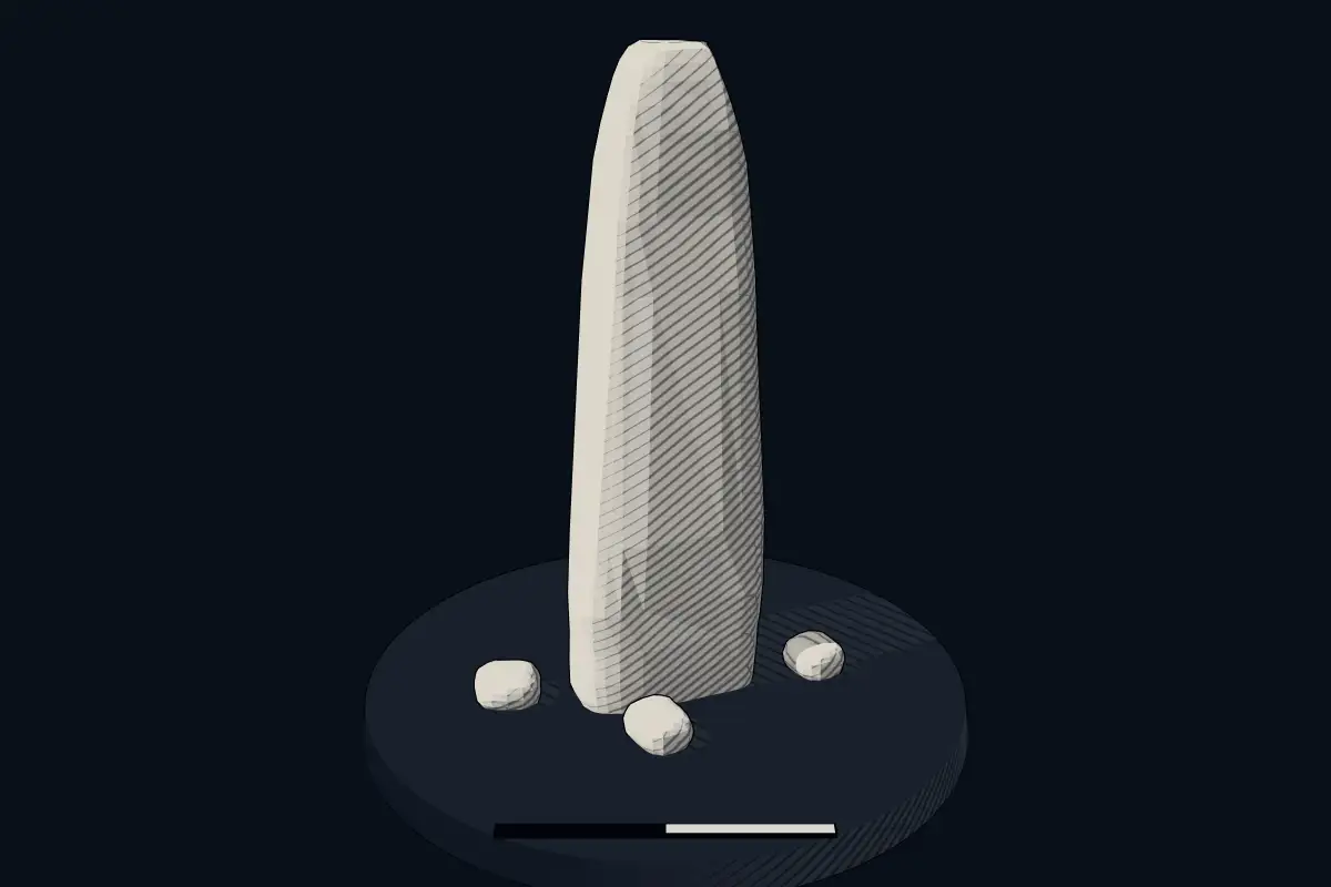
The reconstruction is ours, not a survey: it shows what a monument of this type looks like, at the size the record gives for this one.
Photographs
1 photograph, each with its author and licence
Lore
Evidence & Lore
What the sources actually support — and, kept apart, what has been claimed.
What the evidence supports
Dates
Est. 2800–1800 BCEHow this date was established: Type comparisonTypical range for menhirs in Kingdom of the Netherlands; this site has not been dated itself. Standing stones are associated with the Beaker people of the European late Neolithic and early Bronze Age c. 2800-1800 BC.Source for this date
Where it stands
Kingdom of the Netherlands
The pin marks the monument itself — its exact point.
- Coordinates
- 48°49′22″ N, 3°19′01″ WFor a GPS or map app: 48.82279, -3.31699
Access is as our sources describe it; we have not visited the site to check.
Nearby
The closest sites in the Atlas, by straight line.


Sources
Every record behind this page, with the link it came from.
2 sources behind this page
- 01Wikidata Q125588080wikidata.org
- 02Source for this dateen.wikipedia.org
Image files
- Penvénan mnh-kergastel.jpgLiberligerCC BY-SA 4.0
Report a correctionWrong date, name, photograph or source? Tell us and it will be put right.
Around this place
The ten nearest sites, by compass
Credit
Text, licence and sources
Text from the Wikipedia article "Menhir de Kergastel" (French), licensed CC BY-SA 4.0; authors are listed in the page history. Reused under CC BY-SA 4.0. Read on Wikipedia · Edit history and authors
- Wikipedia (French): Menhir de KergastelCC BY-SA 4.0
- Wikidata Q125588080CC0