
Megalithic mound (tumulus with integral stones)
Fukoujiduka Kofun
DatedEst. 250–650 CE
Photo onaonan · CC BY-SA 3.0Source file on Wikimedia Commons

Overview
About this site
What the sources say
不孝寺塚古墳(ふこうじづかこふん)とは、岐阜県可児市羽崎にある円墳。岐阜県指定史跡。
古墳時代(6世紀代)築造されたと考えられる円墳で、内部構造は羨道と玄室に分かれた横穴式石室である。
1887年(明治20年)に発掘調査された際、石棺中より人骨と金環が、玄室入口からは皿、直刀が出土したという。
Article in JapaneseRead on Wikipedia1 min readCC BY-SA 4.0
Where it sits in time
The site's dated range, placed against world reference points.
The scale is logarithmic: each step to the left is about ten times older than the last.
The full article
Fukoujiduka Kofun: the whole story
Summary in EnglishSources for this section
- Wikipedia (Japanese): 不孝寺塚古墳CC BY-SA 4.0
Sources for this section
- Wikipedia (Japanese): 不孝寺塚古墳CC BY-SA 4.0
Fukoujiduka Kofun is a megalithic mound (tumulus with integral stones) in Japan. A typological estimate: 250 CE to 650 CE. No English Wikipedia article exists for it; the full text below is the Japanese article "不孝寺塚古墳", shown in the original language.
概要Sources for this section
- Wikipedia (Japanese): 不孝寺塚古墳CC BY-SA 4.0
Sources for this section
- Wikipedia (Japanese): 不孝寺塚古墳CC BY-SA 4.0
墳形:円墳
規模
直径 16メートル
玄室の長さ 3.3メートル
石室 横穴式石室
石棺 家形石棺
長さ 約2.3メートル
幅 1.14メートル
交通アクセスSources for this section
- Wikipedia (Japanese): 不孝寺塚古墳CC BY-SA 4.0
Sources for this section
- Wikipedia (Japanese): 不孝寺塚古墳CC BY-SA 4.0
東海環状自動車道可児御嵩ICからおよそ3km。
JR太多線可児駅より徒歩約15分
名古屋鉄道広見線新可児駅より徒歩15分
Tradition and region
About this kind of monument
Japanese kofun tumuli
Kofun are the great burial mounds of ancient Japan, built mainly between the middle of the third century and the early seventh century CE. The period takes its name from them. The most distinctive form is the keyhole-shaped mound (zempō-kōen-fun), with one square end and one round end seen from above, but there are also plain round mounds, double-rectangle mounds and square mounds. Orientation is not fixed: in the Mozu group at Sakai, some round parts face north and others east.
The largest is Daisenryō kofun at Sakai in Osaka, the biggest kofun in Japan, thought to have been built over some twenty years in the middle of the fifth century. By common acceptance it is the tomb of Emperor Nintoku, and the Imperial Household Agency treats it as such, but this cannot be confirmed because the mound has not been excavated. It stands in the Mozu group, which once had more than a hundred tombs of which fewer than half remain; the group and the neighbouring Furuichi cluster were inscribed on the UNESCO World Heritage List in 2019. The mounds were built on a plateau overlooking Osaka Bay, near the ancient coastline.
Dating rests on mound shape, pottery and grave goods. Haniwa, which means "clay circle", are terracotta cylinders and figures of houses, animals and people that were arranged in rings and rows around and on top of the mounds. Smaller kofun are very numerous and sit in groups in every region of Japan.
When visiting, look for the moat that surrounds the larger mounds, for the stepped outline of terraces, and for reconstructed haniwa in museums and parks beside the tombs.
Paraphrased from Wikipedia: Kofun, Wikipedia: Daisen Kofun, Wikipedia: Haniwa, Wikipedia: Mozu Tombs · CC BY-SA 4.0
See it in 3D
An interpretive reconstruction of the monument, standing on the real ground at its exact point, under the sun for that place and season. Drag to look around it.
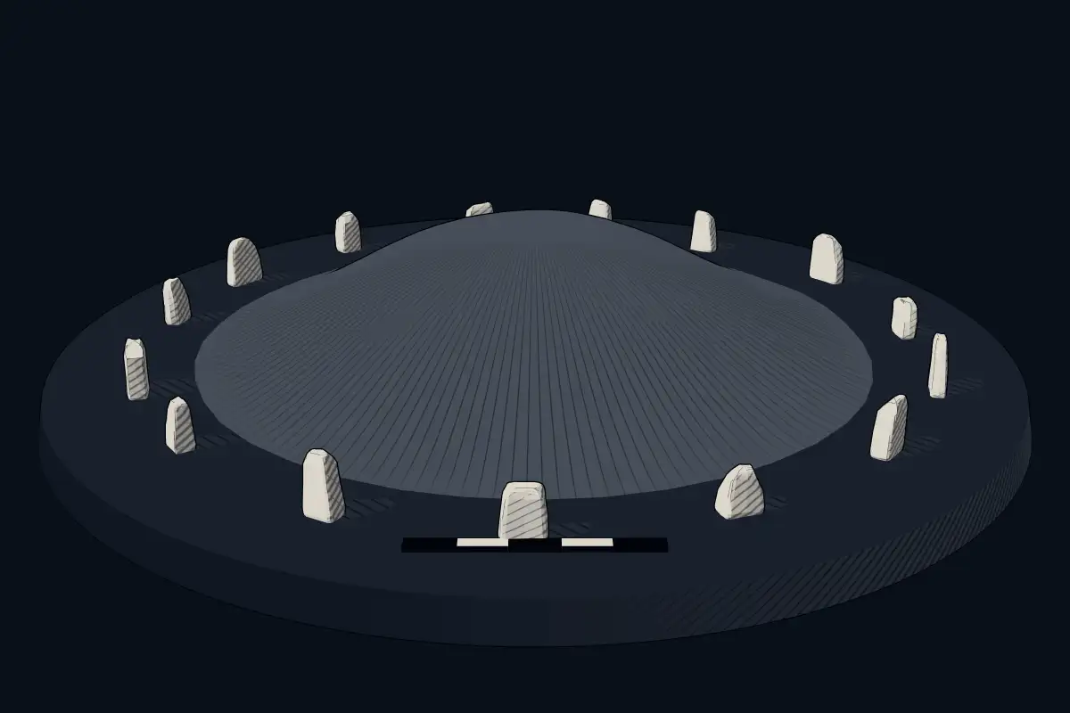
The reconstruction is ours, not a survey: it shows what a monument of this type looks like, at the size the record gives for this one.
Photographs
3 photographs, each with its author and licence
More photographs


Lore
Evidence & Lore
What the sources actually support — and, kept apart, what has been claimed.
What the evidence supports
Dates
Est. 250–650 CEHow this date was established: Type comparisonTypical range for megalithic mounds in Japan; this site has not been dated itself. Japanese kofun burial mounds were mainly constructed between the middle of the 3rd century and the early 7th century AD.Source for this date
Where it stands
Japan
The pin marks the monument itself — its exact point.
- Coordinates
- 35°25′01″ N, 137°04′44″ EFor a GPS or map app: 35.41681, 137.07879
Access is as our sources describe it; we have not visited the site to check.
Nearby
The closest sites in the Atlas, by straight line.
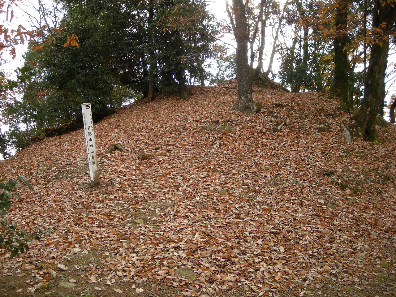 Mikakushiyama Kofun Group250–650 CE
 Kumano Kofun250–650 CE
 Nagatsuka Kofun
 Jirōbee-zuka No. 1 Kofun250–650 CE
- Megalithic mound (tumulus with integral stones)Yūda Funbogun250–650 CE
- Megalithic mound (tumulus with integral stones)蓮野1号墳250–650 CE
- Megalithic mound (tumulus with integral stones)杉洞1号墳250–650 CE
 Sumiyaki Kofun250–650 CE


Sources
Every record behind this page, with the link it came from.
2 sources behind this page
- 01Wikidata Q11361683wikidata.org
- 02Source for this dateen.wikipedia.org
Image files
Report a correctionWrong date, name, photograph or source? Tell us and it will be put right.
Around this place
The ten nearest sites, by compass
Credit
Text, licence and sources
Text from the Wikipedia article "不孝寺塚古墳" (Japanese), licensed CC BY-SA 4.0; authors are listed in the page history. Reused under CC BY-SA 4.0. Read on Wikipedia · Edit history and authors
- Wikipedia (Japanese): 不孝寺塚古墳CC BY-SA 4.0
- Wikidata Q11361683CC0