
Megalithic mound (tumulus with integral stones)
Biwazuka-kofun
Also known asBiwazuka Kofun
Datedc. 501–600 CE
Photo Saigen Jiro · CC0Source file on Wikimedia Commons

Overview
About this site
What the sources say
The Biwazuka Kofun (琵琶塚古墳) is a Kofun period burial mound located in Iizuka neighborhood of the city of Oyama in Tochigi Prefecture in the northern Kantō region of Japan. The tumulus received protection as a National Historic Site in 1926. It is the second largest in the prefecture.
Read on Wikipedia3 min readCC BY-SA 4.0
Where it sits in time
The site's dated range, placed against world reference points.
The scale is logarithmic: each step to the left is about ten times older than the last.
The full article
Biwazuka-kofun: the whole story
In briefSources for this section
- Wikipedia (English): Biwazuka KofunCC BY-SA 4.0
Sources for this section
- Wikipedia (English): Biwazuka KofunCC BY-SA 4.0
Biwazuka Kofun is a large keyhole-shaped burial mound in the Iizuka area of Oyama, Tochigi Prefecture, in Japan's northern Kantō region. It was designated a National Historic Site in 1926 and measures about 123 metres in total length, making it the second largest mound in the prefecture.
The mound has a square front section and a circular rear section, with both parts built in three tiers. It uses a natural hill as its base and stands on a narrow plateau between the Oshi and Sugata rivers, in the central area of ancient Shimotsuke province. A surrounding moat is 18 to 20 metres wide.
Excavation in 1977 confirmed the mound's overall length. Fragments of cylindrical clay figures known as haniwa found in the moat in 2013, together with the mound's shape, indicate a date in the first half of the 6th century AD. The National Historic Site designation was extended to include the moat area in 1981.
Recovered objects are displayed at the Marishitenzuka-Biwazuka Kofun Museum in Oyama. The site is about 15 minutes by car from Oyama Station on the Tohoku Shinkansen.
It is located on a narrow plateau between the Oshi and Sugata rivers, which run north and south through the northern Kantō Plain.
OverviewSources for this section
- Wikipedia (English): Biwazuka KofunCC BY-SA 4.0
Sources for this section
- Wikipedia (English): Biwazuka KofunCC BY-SA 4.0
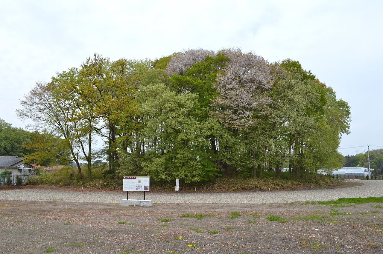
The Biwazuka Kofun is a zenpō-kōen-fun (前方後円墳), which is shaped like a keyhole, having one square end and one circular end, when viewed from above. It is located on a narrow plateau between the Oshi and Sugata rivers, which run north and south through the northern Kantō Plain. This area was the central region of ancient Shimotsuke province, and contains many kofun and the ruins of the provincial capital and provincial temple (kokubunji). The Marishitenzuka Kofun is located 100 meters north of the Marishitenzuka Kofun, which is of almost identical size and orientation to the south-southwest.
The Biwazuka Kofun uses a natural hill as its base. As a result of an excavation in 1977, it was confirmed to have a total length of about 123 meters, making it the second largest in the prefecture. The tumulus is built in three tiers. The tumulus is surrounded by a moat, ranging from 18 to 20 meters in width. From fragments of cylindrical haniwa found in the moat in 2013, along with the shape of the mound, it is estimated that this kofun dates from the first half of the 6th century AD. The National Historic Site designation was expanded in 1981 to encompass the moat area.
Overall length
123 meters
Posterior circular portion
75 meter diameter x 11 meter high, 3-tier
Anterior rectangular portion
70 meters wide x 9 meters high, 3-tier
Recovered artifacts are on display at the Marishitenzuka-Biwazuka Kofun Museum in Oyama. The site is located approximately 15 minutes by car from Oyama Station on the Tohoku Shinkansen.
How this page was madeSources for this section
- Wikipedia (English): Biwazuka KofunCC BY-SA 4.0
Sources for this section
- Wikipedia (English): Biwazuka KofunCC BY-SA 4.0
The summary at the top of this page was written by MiniMax-M3 (2026-11-07) from the cited Wikipedia article “Biwazuka Kofun”. The numbers in it were checked automatically against the source text. The rest of the page is the article itself, the structured records and computed distances.
Tradition and region
About this kind of monument
Japanese kofun tumuli
Kofun are the great burial mounds of ancient Japan, built mainly between the middle of the third century and the early seventh century CE. The period takes its name from them. The most distinctive form is the keyhole-shaped mound (zempō-kōen-fun), with one square end and one round end seen from above, but there are also plain round mounds, double-rectangle mounds and square mounds. Orientation is not fixed: in the Mozu group at Sakai, some round parts face north and others east.
The largest is Daisenryō kofun at Sakai in Osaka, the biggest kofun in Japan, thought to have been built over some twenty years in the middle of the fifth century. By common acceptance it is the tomb of Emperor Nintoku, and the Imperial Household Agency treats it as such, but this cannot be confirmed because the mound has not been excavated. It stands in the Mozu group, which once had more than a hundred tombs of which fewer than half remain; the group and the neighbouring Furuichi cluster were inscribed on the UNESCO World Heritage List in 2019. The mounds were built on a plateau overlooking Osaka Bay, near the ancient coastline.
Dating rests on mound shape, pottery and grave goods. Haniwa, which means "clay circle", are terracotta cylinders and figures of houses, animals and people that were arranged in rings and rows around and on top of the mounds. Smaller kofun are very numerous and sit in groups in every region of Japan.
When visiting, look for the moat that surrounds the larger mounds, for the stepped outline of terraces, and for reconstructed haniwa in museums and parks beside the tombs.
Paraphrased from Wikipedia: Kofun, Wikipedia: Daisen Kofun, Wikipedia: Haniwa, Wikipedia: Mozu Tombs · CC BY-SA 4.0
From the article
Dated moments in the story
- 1926
The tumulus received protection as a National Historic Site in 1926. It is the second largest in the prefecture.
Source - 1977
As a result of an excavation in 1977, it was confirmed to have a total length of about 123 meters, making it the second largest in the prefecture.
Source - 1981
The National Historic Site designation was expanded in 1981 to encompass the moat area.
Source
See it in 3D
An interpretive reconstruction of the monument, standing on the real ground at its exact point, under the sun for that place and season. Drag to look around it.
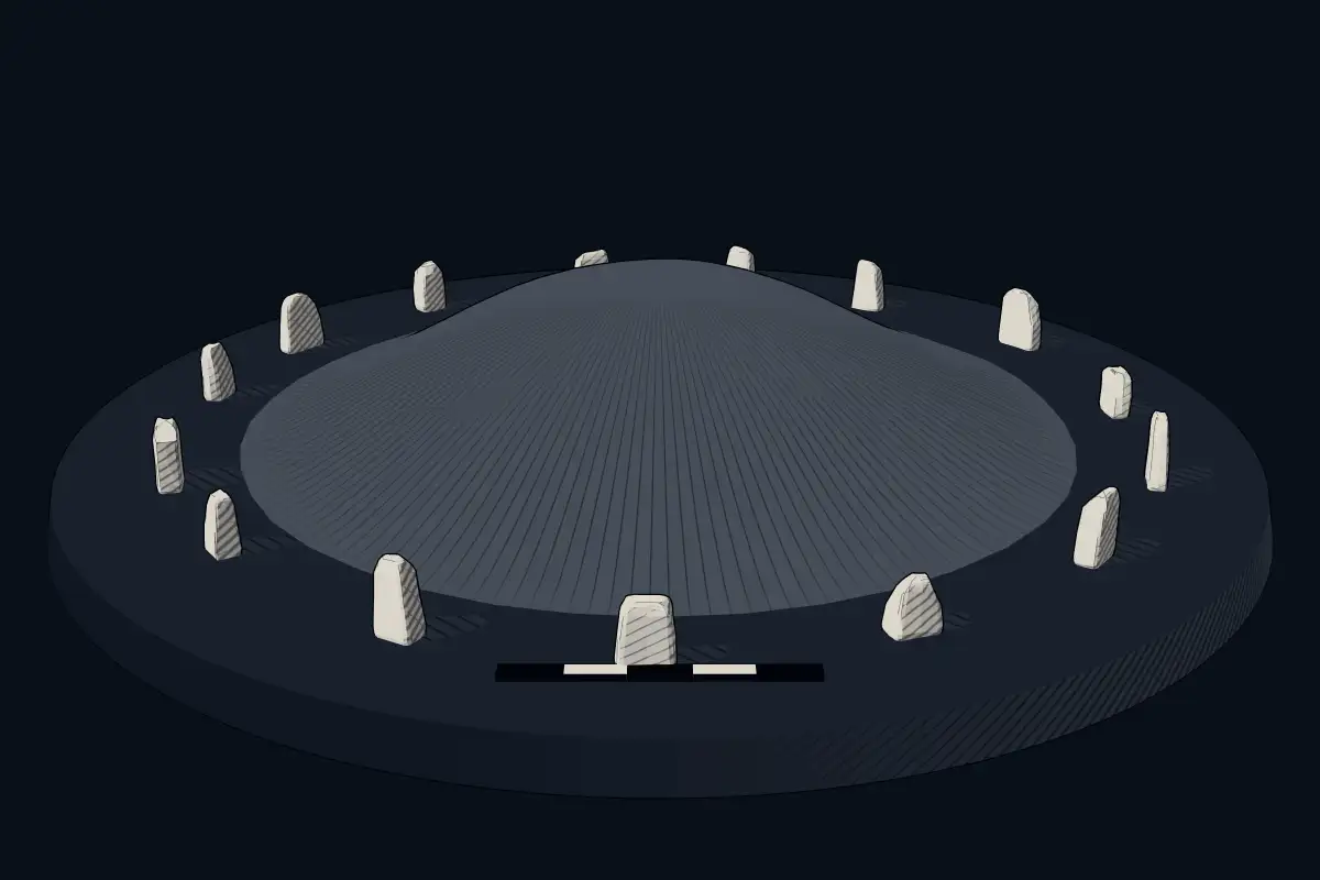
The reconstruction is ours, not a survey: it shows what a monument of this type looks like, at the size the record gives for this one.
Photographs
5 photographs, each with its author and licence
More photographs


Lore
Evidence & Lore
What the sources actually support — and, kept apart, what has been claimed.
What the evidence supports
Dates
Est. 4000–1200 BCEHow this date was established: Type comparisonTypological estimate, not a date for this site: a megalithic mound in Japan is normally dated between 4000 BCE and 1200 BCE (Atlas typological table).Source for this date
Measured facts
- Mound type
- Kofun-period burial moundSource: Mound type
- Location
- Iizuka neighborhood, Oyama, Tochigi Prefecture, JapanSource: Location
- Heritage status
- National Historic Site, protected in 1926Source: Heritage status
- Size ranking
- Second largest in Tochigi PrefectureSource: Size ranking
- Heritage designation
- Historic Site of JapanSource: Heritage designation
Where it stands
Japan
The pin marks the monument itself — its exact point.
- Coordinates
- 36°22′31″ N, 139°48′26″ EFor a GPS or map app: 36.37524, 139.80713
Access is as our sources describe it; we have not visited the site to check.
Nearby
The closest sites in the Atlas, by straight line.
 Marishitenzuka-kofun4000–1200 BCE
 Kōzuka Kofun (Shimotsuke)250–650 CE
- Megalithic mound (tumulus with integral stones)Atagozuka Kofun (Shimotsuke)250–650 CE
 Azuma Kofun4000–1200 BCE
- Megalithic mound (tumulus with integral stones)Atagozuka Kofun (Mibu)4000–1200 BCE
- Megalithic mound (tumulus with integral stones)星宮神社古墳250–650 CE
 Mibu-Kurumazuka Kofun
 Ushizuka Kofun (Mibu)4000–1200 BCE


Sources
Every record behind this page, with the link it came from.
2 sources behind this page
- 01Wikidata Q17230002wikidata.org
- 02Wikipedia (en)en.wikipedia.org
Image files
- Biwazuka-kofun trench.JPGSaigen JiroCC0
- Biwazuka-kofun zenkei-2.JPGSaigen JiroCC0
- Biwazuka-kofun zenkei-3.JPGSaigen JiroCC0
- Biwazuka-kofun hokora.JPGSaigen JiroCC0
- Biwazuka Kofun, funcho.jpgSaigen JiroCC0
Report a correctionWrong date, name, photograph or source? Tell us and it will be put right.
Around this place
The ten nearest sites, by compass
Credit
Text, licence and sources
Text from the Wikipedia article "Biwazuka Kofun" (English), licensed CC BY-SA 4.0; authors are listed in the page history. Reused under CC BY-SA 4.0. Read on Wikipedia · Edit history and authors
- Wikipedia (English): Biwazuka KofunCC BY-SA 4.0
- Wikidata Q17230002CC0