Lu Termine
DatedEst. 2800–1800 BCE
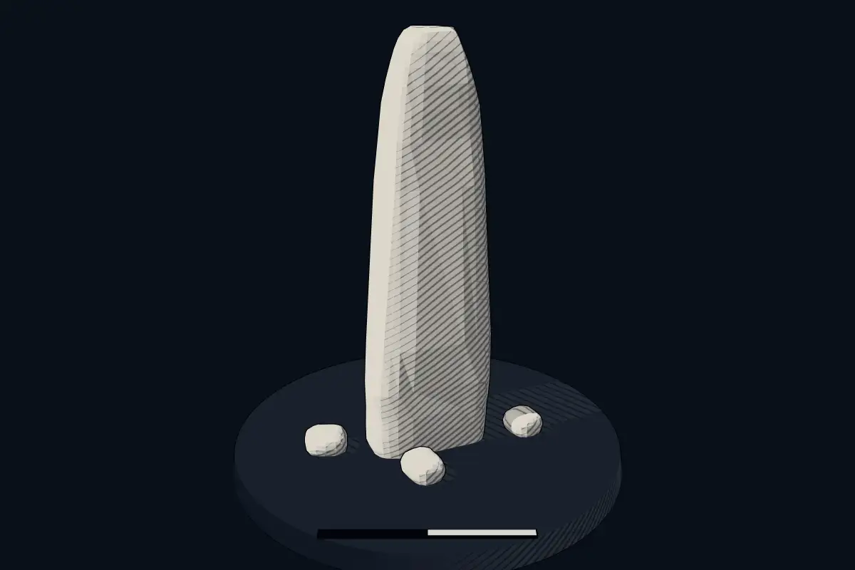
No licensed photograph yetWe have no photograph we may publish for this site, so the interpretive 3D view leads instead.
Overview
About this site
What the sources say
Lu Termine est le nom d'un menhir situé près de Rocca di Mezzo, commune italienne de la province de L'Aquila, dans les Abruzzes.
Article in FrenchRead on Wikipedia1 min readCC BY-SA 4.0
Where it sits in time
The site's dated range, placed against world reference points.
The scale is logarithmic: each step to the left is about ten times older than the last.
The full article
Lu Termine: the whole story
Summary in EnglishSources for this section
- Wikipedia (French): Lu TermineCC BY-SA 4.0
Sources for this section
- Wikipedia (French): Lu TermineCC BY-SA 4.0
Lu Termine is a menhir (standing stone) in Rocca di Mezzo, Italy. A typological estimate: 2800 BCE to 1800 BCE. No English Wikipedia article exists for it; the full text below is the French article "Lu Termine", shown in the original language.
DescriptionSources for this section
- Wikipedia (French): Lu TermineCC BY-SA 4.0
Sources for this section
- Wikipedia (French): Lu TermineCC BY-SA 4.0
Le mégalithe se situe à environ deux kilomètres au sud-sud-ouest de Rocca di Mezzo ; il se dresse à proximité d'une route de campagne reliant Rocca di Mezzo à Secinaro.
La pierre mesure 1,70 m de hauteur ; elle a probablement été utilisée dans l'Antiquité pour marquer la frontière entre le territoire des Marses et celui des Vestins.
Le menhir Lu Termine est l'un des rares monuments mégalithiques des Abruzzes.
Tradition and region
About this kind of monument
Central and southern European menhirs
Outside the Atlantic fringe, menhirs also occur across central and southern Europe. In the Czech Republic there are about 40 real menhirs and dozens of stones that could also be menhirs, and others have been erected recently. The largest real menhir is Kamenný pastýř, the "stony shepherd", near Klobuky, 3.3 metres high; the Czech menhirs are probably the last outcrop of a tradition that ran across northern Germany. Some of the Czech stones in the Atlas may be natural boulders.
Italy has its most famous menhirs in Sardinia, where at least 332 standing stones can be seen. They include elaborate "statue-menhirs" that show a human face at the top and gendered symbols on the flat front; over a hundred of this standardised type have been found, mostly around the village of Laconi. In the Sardinian language they are called perdas fittas or perdas lungas. In Switzerland, in the canton of Vaud, several menhirs form linear patterns at Clendy in Yverdon-les-Bains, and date back to the third millennium BCE.
A statue menhir is a carved standing stone of the later European Neolithic, in which a slab or pillar has a stylised human figure cut into it, sometimes with hints of clothing or weapons. They are most commonly found in southern and western France, Catalonia, Corsica, Sardinia, Italy and the Alps.
Menhirs are usually difficult to date, and those without excavation can only be given a broad range. A stone's present position is not always its original one.
When visiting, check whether a stone stands in its original position and look for signs of shaping.
Paraphrased from Wikipedia: Menhir, Wikipedia: List of menhirs, Wikipedia: Statue menhir · CC BY-SA 4.0
See it in 3D
An interpretive reconstruction of the monument, standing on the real ground at its exact point, under the sun for that place and season. Drag to look around it.
The reconstruction is ours, not a survey: it shows what a monument of this type looks like, at the size the record gives for this one.
Lore
Evidence & Lore
What the sources actually support — and, kept apart, what has been claimed.
What the evidence supports
Dates
Est. 2800–1800 BCEHow this date was established: Type comparisonTypical range for menhirs in Italy; this site has not been dated itself. Standing stones are associated with the Beaker people of the European late Neolithic and early Bronze Age c. 2800-1800 BC.Source for this date
Where it stands
Italy
The pin marks the monument itself — its exact point.
- Coordinates
- 42°11′27″ N, 13°31′41″ EFor a GPS or map app: 42.19071, 13.52817
Access is as our sources describe it; we have not visited the site to check.
Nearby
The closest sites in the Atlas, by straight line.


Sources
Every record behind this page, with the link it came from.
2 sources behind this page
- 01Wikidata Q56304008wikidata.org
- 02Source for this dateen.wikipedia.org
Report a correctionWrong date, name, photograph or source? Tell us and it will be put right.
Around this place
The ten nearest sites, by compass
Credit
Text, licence and sources
Text from the Wikipedia article "Lu Termine" (French), licensed CC BY-SA 4.0; authors are listed in the page history. Reused under CC BY-SA 4.0. Read on Wikipedia · Edit history and authors
- Wikipedia (French): Lu TermineCC BY-SA 4.0
- Wikidata Q56304008CC0