Dolmens and Ayyanar Images
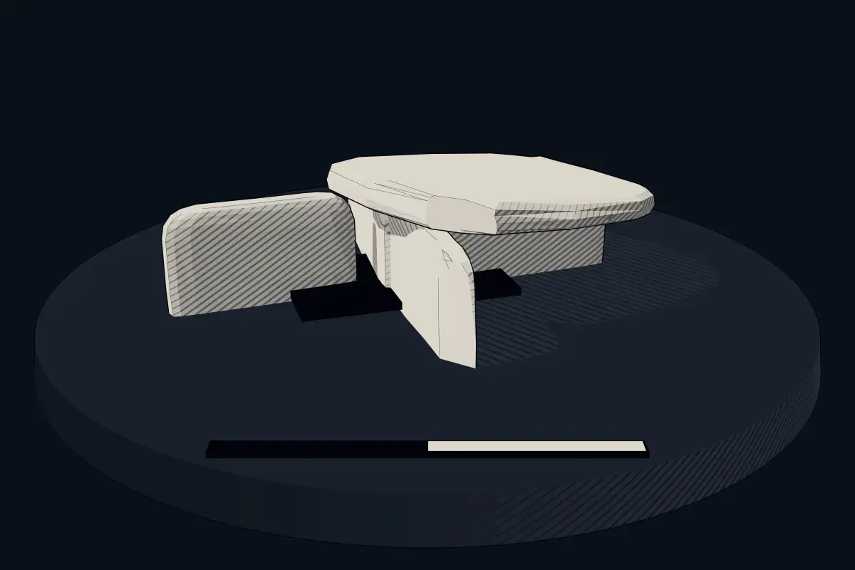
No licensed photograph yetWe have no photograph we may publish for this site, so the interpretive 3D view leads instead.
Overview
About this site
Overview
Dolmens and Ayyanar Images is a cist in Pudukkottai district, India. It lies at 10.5809° N, 78.4674° E.
Catalogue recordSources and licences
Article
Dolmens and Ayyanar Images
ContextSources for this section
- en.wikipedia.orgCC BY-SA 4.0
- en.wikipedia.orgCC BY-SA 4.0
- en.wikipedia.orgCC BY-SA 4.0
- en.wikipedia.orgCC BY-SA 4.0
Sources for this section
- en.wikipedia.orgCC BY-SA 4.0
- en.wikipedia.orgCC BY-SA 4.0
- en.wikipedia.orgCC BY-SA 4.0
- en.wikipedia.orgCC BY-SA 4.0
Megaliths are found in almost every part of South Asia, from the south to the north-eastern hills. Dates in the literature run from before 3000 BCE, with recent finds in southern India claimed back to 5000 BCE, and the southern megalithic cultures correspond in part with the Iron Age. A large fraction are thought to be associated with burial or post-burial rites. The forms are many: stone circles, cists, menhirs, dolmens and rock-cut chambers. The regional background, “Megalithic burials of India”, is given below.
Dating
No date has been published for this site.
Setting
No other recorded monument lies within 10 km. The nearest is Dolmens in Annavasal Vattam, 31.2 km to the south-east. In Pudukkottai district, India, 5 of the 6 recorded monuments are of this type.
The nearest recorded monuments are Dolmens in Annavasal Vattam (31.2 km south-east, cist); Dolmens (Known As Kurangupattarai) (32.7 km east, cist); Group of Dolmens (41.2 km east, cist); Dolmens and Urns (46.7 km east, cist).
ProtectionSources for this section
Sources for this section
Heritage status: Monument of National Importance.
Tradition and region
About this kind of monument
Megalithic burials of India
Megaliths are found in almost every part of South Asia, from the south to the north-eastern hills. Dates in the literature run from before 3000 BCE, with recent finds in southern India claimed back to 5000 BCE, and the southern megalithic cultures correspond in part with the Iron Age. A large fraction are thought to be associated with burial or post-burial rites. The forms are many: stone circles, cists, menhirs, dolmens and rock-cut chambers.
Researchers note that giant human-shaped figures, which usually occur with megalithic monuments in burial grounds, may be connected with ancestor worship, though what they symbolise is unclear. Marks found mostly on potsherds in megalithic burials of central and south India and Sri Lanka, tentatively dated from 1000 BCE to 300 CE, are still debated: there is no consensus on whether they are undeciphered writing or graffiti.
In the east the tradition has lasted longest: the megaliths there show evidence of living megalithic practices until recently. In the Khasi Hills of Meghalaya, Mawphlang ("grassy stone") is one of many settlements named after monoliths, and it is the site of a sacred grove. Visitors should respect local custom.
Dating is the weak point: few have been excavated to modern standards, and many are dated only by comparison with excavated graves.
When visiting, look for rings of stones at the edge of fields, for capstones raised on slabs, and for groups of graves on hillsides.
Paraphrased from Wikipedia: Megalith, Wikipedia: Iron Age in India, Wikipedia: Megalithic graffiti symbols, Wikipedia: Mawphlang · CC BY-SA 4.0
See it in 3D
An interpretive reconstruction of the monument, standing on the real ground at its exact point, under the sun for that place and season. Drag to look around it.
The reconstruction is ours, not a survey: it shows what a monument of this type looks like, at the size the record gives for this one.
Where it stands
India
The pin marks the monument itself — its exact point.
- Coordinates
- 10°34′51″ N, 78°28′02″ EFor a GPS or map app: 10.58093, 78.46735
Access is as our sources describe it; we have not visited the site to check.
Nearby
The closest sites in the Atlas, by straight line.


Sources
Every record behind this page, with the link it came from.
1 source behind this page
- 01Wikidata Q97481056wikidata.org
Report a correctionWrong date, name, photograph or source? Tell us and it will be put right.
Around this place
The ten nearest sites, by compass
- Dolmens in Annavasal Vattam31 km SE
- Dolmens (Known As Kurangupattarai)33 km E
- Group of Dolmens41 km E
- Dolmens and Urns47 km E
- Cairns and Urns74 km SE
- Megalithic Cists and Cairns, Karai77 km NE
- Dolmens Near Machur Reserved Forest103 km W
- Dolmens, Vilpatti108 km W
- Dolmens Near Talayar River On Top Of The Hill111 km W
- Menhir & Habitation Site and Megalithic Burial Sites, Kodumanal119 km NW
Credit
Text, licence and sources
Compiled from open records (Wikidata, CC0; OpenStreetMap, ODbL) and a regional background article based on Wikipedia (CC BY-SA 4.0).
- Wikidata Q97481056CC0
- en.wikipedia.orgCC BY-SA 4.0
- en.wikipedia.orgCC BY-SA 4.0
- en.wikipedia.orgCC BY-SA 4.0
- en.wikipedia.orgCC BY-SA 4.0