
Menhir Sungai Talang I
Photo Zhilal Darma · CC BY-SA 4.0Source file on Wikimedia Commons
Overview
About this site
Overview
Menhir Sungai Talang I is a menhir in Lima Puluh Kota, Indonesia. It lies at 0.1657° S, 100.5372° E.
Catalogue recordSources and licences
Article
Menhir Sungai Talang I
ContextSources for this section
- en.wikipedia.orgCC BY-SA 4.0
- en.wikipedia.orgCC BY-SA 4.0
- en.wikipedia.orgCC BY-SA 4.0
- en.wikipedia.orgCC BY-SA 4.0
Sources for this section
- en.wikipedia.orgCC BY-SA 4.0
- en.wikipedia.orgCC BY-SA 4.0
- en.wikipedia.orgCC BY-SA 4.0
- en.wikipedia.orgCC BY-SA 4.0
Indonesia is one of the few places where megalith-building is still a living tradition. Among the Nias of North Sumatra, the Batak of the interior of North Sumatra, the people of Flores and Sumba in East Nusa Tenggara, and the Toraja of the interior of South Sulawesi, megalithic cultures remained preserved, isolated and undisturbed well into the late nineteenth century. Menhirs, dolmens, stone tables and ancestral stone statues are also found in sites in Java, Sumatra, Sulawesi, the Lesser Sunda Islands and New Guinea. The regional background, “Megalith traditions of Indonesia”, is given below.
Dating
No date has been published for this site.
Setting
5 other recorded monuments lie within 10 km (1 within 1 km, 5 within 5 km), 5 of them of the same type. In Lima Puluh Kota, Indonesia, 15 of the 15 recorded monuments are of this type.
The nearest recorded monuments are Menhir Sungai Talang II (0.1 km north-east, menhir); Menhir Guguk Nunang (2.7 km south-east, menhir); Menhir Balubus (2.8 km south-east, menhir); Menhir Balai Adat Guguak (3.2 km north-east, menhir).
ProtectionSources for this section
Sources for this section
No heritage designation is recorded for the site.
Tradition and region
About this kind of monument
Megalith traditions of Indonesia
Indonesia is one of the few places where megalith-building is still a living tradition. Among the Nias of North Sumatra, the Batak of the interior of North Sumatra, the people of Flores and Sumba in East Nusa Tenggara, and the Toraja of the interior of South Sulawesi, megalithic cultures remained preserved, isolated and undisturbed well into the late nineteenth century. Menhirs, dolmens, stone tables and ancestral stone statues are also found in sites in Java, Sumatra, Sulawesi, the Lesser Sunda Islands and New Guinea.
On Sumba, the megalithic burials found in the central regions of the island go back thousands of years. This stone-based burial tradition is still kept alive by the Sumba people, and has become a "living ancient tradition" that scholars can observe today. The megalithic remains on the island include dolmen tombs, upright stones, megalithic statues, stone enclosures and levelled terraces, built and carved to a high standard. Quadrangular adzes unearthed in the Anakalang area are among the notable finds. Nias is best known for its festivals, including stone jumping, a manhood ritual in which young men leap over stone towers about two metres high; some historians and archaeologists have called its culture one of the few remaining megalithic cultures in existence, though this point of view is hotly debated.
Because the tradition has not stopped, it is hard to give a single date to a monument. Megalithic culture still flourished in places such as Nias and Toraja when other parts of Indonesia had already begun their historical periods, and script was unknown there. The Atlas gives such sites a broad range, and dating is often impossible without excavation.
When visiting, remember that these are the burial places and ritual landscapes of living communities. Ask permission and do not move stones.
Paraphrased from Wikipedia: Megalith, Wikipedia: Sumba, Wikipedia: Nias, Wikipedia: Prehistoric Indonesia · CC BY-SA 4.0
See it in 3D
An interpretive reconstruction of the monument, standing on the real ground at its exact point, under the sun for that place and season. Drag to look around it.
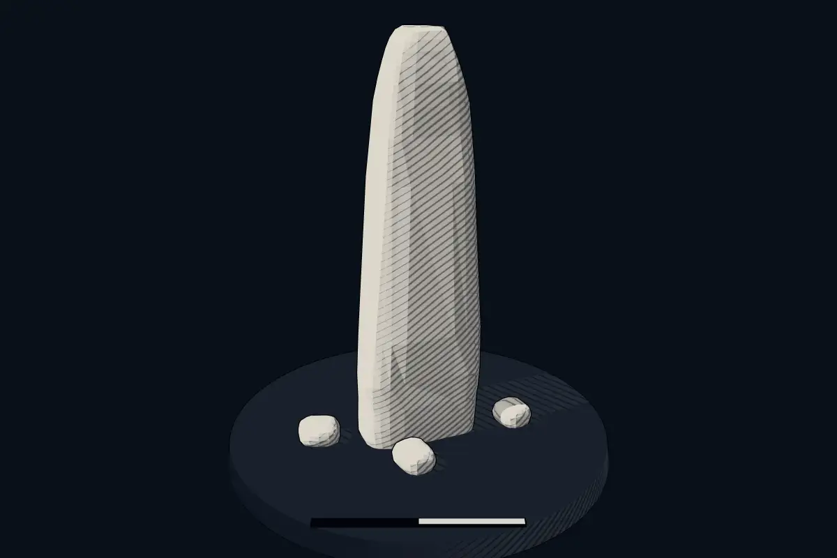
The reconstruction is ours, not a survey: it shows what a monument of this type looks like, at the size the record gives for this one.
Photographs
4 photographs, each with its author and licence
More photographs
Where it stands
Indonesia
The pin marks the monument itself — its exact point.
- Coordinates
- 0°09′57″ S, 100°32′14″ EFor a GPS or map app: -0.16573, 100.53721
Access is as our sources describe it; we have not visited the site to check.
Nearby
The closest sites in the Atlas, by straight line.


Sources
Every record behind this page, with the link it came from.
1 source behind this page
- 01Wikidata Q106280124wikidata.org
Image files
- Menhir Sungai Talang I 03.jpgZhilal DarmaCC BY-SA 4.0
- Menhir Sungai Talang I 01.jpgZhilal DarmaCC BY-SA 4.0
- Menhir Sungai Talang I 06.jpgZhilal DarmaCC BY-SA 4.0
- Menhir Sungai Talang I 02.jpgZhilal DarmaCC BY-SA 4.0
Report a correctionWrong date, name, photograph or source? Tell us and it will be put right.
Around this place
The ten nearest sites, by compass
Credit
Text, licence and sources
Compiled from open records (Wikidata, CC0; OpenStreetMap, ODbL) and a regional background article based on Wikipedia (CC BY-SA 4.0).
- Wikidata Q106280124CC0
- en.wikipedia.orgCC BY-SA 4.0
- en.wikipedia.orgCC BY-SA 4.0
- en.wikipedia.orgCC BY-SA 4.0
- en.wikipedia.orgCC BY-SA 4.0