broch 230m E of Upper Latheron
DatedEst. 390 BCE–200 CE
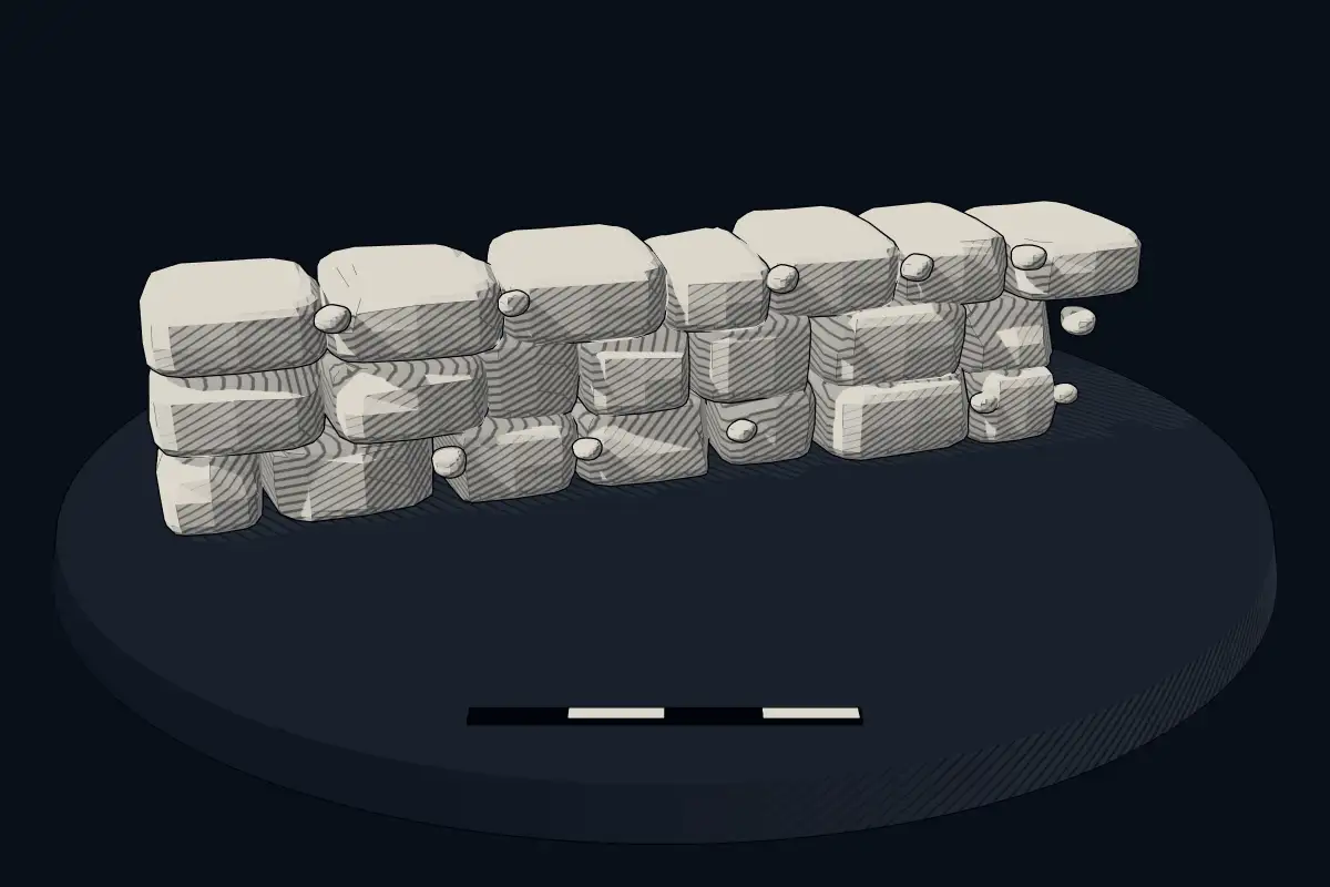
No licensed photograph yetWe have no photograph we may publish for this site, so the interpretive 3D view leads instead.
Overview
About this site
Overview
Upper Latheron Broch is an Iron Age broch near Latheronwheel in the Highland council area of Scotland, United Kingdom. It is a scheduled monument. The catalogue dates it by typological estimate to between 390 BCE and 200 CE.
The remains form an earth-covered bank on a slope, about three metres high and about 17 metres in diameter. The broch was not opened in historic times.
Read on Wikipedia2 min readCC BY-SA 4.0
Where it sits in time
The site's dated range, placed against world reference points.
The scale is logarithmic: each step to the left is about ten times older than the last.
Article
broch 230m E of Upper Latheron
The broch lies about 450 metres from the north coast of the Moray Firth, about one kilometre south-west of Latheronwheel.
SettingSources for this section
- Wikipedia (German): Upper Latheron BrochCC BY-SA 4.0
Sources for this section
- Wikipedia (German): Upper Latheron BrochCC BY-SA 4.0
The broch lies about 450 metres from the north coast of the Moray Firth, about one kilometre south-west of Latheronwheel. The A9 runs along the coast and passes the broch at a distance of a few metres. To the south-west lie the ruin of Knockinnon Castle and Knockinnon Broch. The chambered cairn Upper Latheron Cairn, Latheronwheel Long Cairn, Latheronwheel Chambered Cairn and the promontory fort Janetstown Fort lie to the east, and Latheronwheel House Broch stands to the north.
DescriptionSources for this section
- Wikipedia (German): Upper Latheron BrochCC BY-SA 4.0
Sources for this section
- Wikipedia (German): Upper Latheron BrochCC BY-SA 4.0
The remains are an earth-covered, grass-grown bank on a hillside. On the eastern flank up to four courses of the drystone masonry of the broch are exposed. To the south-east and north-west of the broch are traces of further structures, which are possibly contemporary with it.
ContextSources for this section
- Wikipedia (German): Upper Latheron BrochCC BY-SA 4.0
Sources for this section
- Wikipedia (German): Upper Latheron BrochCC BY-SA 4.0
A broch is an Iron Age hollow-walled drystone tower found in Scotland, which holds more than 500 of them. They are concentrated in northern Scotland, with the densest groups in Caithness, Sutherland and the Northern Isles.
Tradition and region
About this kind of monument
Scottish brochs
A broch is an Iron Age hollow-walled drystone tower found in Scotland, and Scotland holds more than 500 of them. Brochs belong to the class that Scottish archaeologists call "complex Atlantic roundhouses". There are approximately 571 candidate sites, concentrated in northern Scotland, with the densest groups in Caithness, Sutherland and the Northern Isles. The Atlas files them under "cyclopean masonry" because of the heavy drystone walls, but they are Scottish Iron Age buildings, unrelated to the Mycenaean walls that give that term its name.
The finest is the Broch of Mousa in Shetland, the tallest broch still standing and among the best-preserved prehistoric buildings in Europe; it is thought to have been built about 300 BCE. Midhowe Broch on Rousay in Orkney has an internal diameter of 9 metres within a wall 4.5 metres thick, which still stands more than 4 metres high. At the Broch of Gurness on Mainland Orkney, a village grew around a tower that probably once reached about 10 metres; settlement began between 500 and 200 BCE, and Robert Rendall found it in 1929.
Dating is not secure. Most brochs may have been built from about 300 BCE; a sheep bone at Old Scatness in Shetland dates to between 390 and 200 BCE. The old view that brochs were defensive refuges for people and their livestock has been challenged: it has been argued that they were the "stately homes" of their time, showing the status of important families, though there is no archaeological proof, and the purpose may have combined defensive, offensive and symbolic functions.
When visiting, look for the two skins of drystone wall with a stair or gallery between them, and for the settlement of smaller houses around the tower.
Paraphrased from Wikipedia: Broch, Wikipedia: Mousa Broch, Wikipedia: Dun Carloway, Wikipedia: Midhowe Broch, Wikipedia: Gurness Broch, Wikipedia: Cyclopean masonry · CC BY-SA 4.0
Lore
Evidence & Lore
What the sources actually support — and, kept apart, what has been claimed.
What the evidence supports
Dates
Est. 390 BCE–200 CEHow this date was established: Type comparisonTypical range for cyclopean masonries in United Kingdom; this site has not been dated itself. The first brochs may have been built circa 300 BC and most of the towers were built in the 1st centuries BC and AD; a sheep bone from Old Scatness Broch dates to between 390 and 200 BC.Source for this date
Where it stands
United Kingdom
The pin marks the monument itself — its exact point.
- Coordinates
- 58°16′04″ N, 3°23′43″ WFor a GPS or map app: 58.26784, -3.39517
Access is as our sources describe it; we have not visited the site to check.
Nearby
The closest sites in the Atlas, by straight line.
 chambered cairn 530m ESE of Upper Latheron4000–2500 BCE
- Chambered cairnchambered cairn 580m SE of Latheronwheel House4000–2500 BCE
- Cyclopean masonrybroch 450m S of Latheronwheel Bridge390 BCE–200 CE
 broch 500m W of Latheronwheel House390 BCE–200 CE
- Cyclopean masonryKnockinnon,broch390 BCE–200 CE
- Cyclopean masonrySmerral, broch to E of Bunellich390 BCE–200 CE
 Latheron stone
 Greentulloch,broch 180m NE of390 BCE–200 CE


Sources
Every record behind this page, with the link it came from.
2 sources behind this page
- 01Wikidata Q56666830wikidata.org
- 02Source for this dateen.wikipedia.org
Report a correctionWrong date, name, photograph or source? Tell us and it will be put right.
Around this place
The ten nearest sites, by compass
- chambered cairn 530m ESE of Upper Latheron0.3 km SE
- chambered cairn 580m SE of Latheronwheel House0.3 km NE
- broch 450m S of Latheronwheel Bridge0.9 km NE
- broch 500m W of Latheronwheel House0.9 km NW
- Knockinnon,broch1.0 km SW
- Smerral, broch to E of Bunellich2.0 km N
- Latheron stone2.0 km NE
- Greentulloch,broch 180m NE of2.0 km W
- Smerral Wood2.2 km N
- Latheron, 2 standing stones2.5 km NE
Credit
Text, licence and sources
Adapted from the Wikipedia article "Upper Latheron Broch" (German), licensed CC BY-SA 4.0; authors are listed in the page history. Reused under CC BY-SA 4.0. Read on Wikipedia · Edit history and authors
- Wikipedia (German): Upper Latheron BrochCC BY-SA 4.0
- Wikidata Q56666830CC0