grotte de la Source
Also known ashypogée de la Source
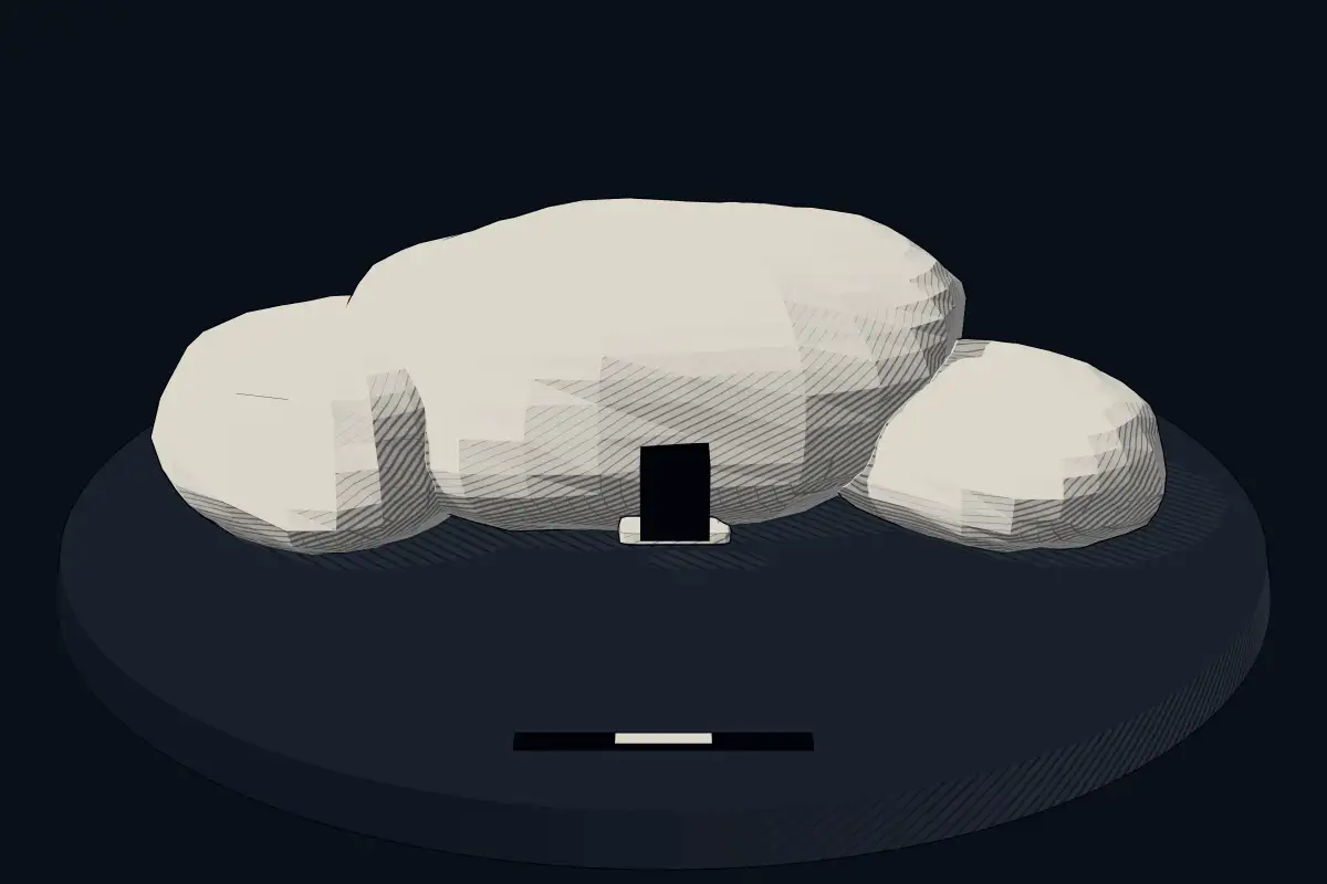
No licensed photograph yetWe have no photograph we may publish for this site, so the interpretive 3D view leads instead.
Overview
About this site
Overview
Grotte de la Source is a hypogeum in Fontvieille, France. It is also known as hypogée de la Source. It lies at 43.7106° N, 4.6837° E.
Catalogue recordSources and licences
Article
grotte de la Source
ContextSources for this section
- en.wikipedia.orgCC BY-SA 4.0
- en.wikipedia.orgCC BY-SA 4.0
- en.wikipedia.orgCC BY-SA 4.0
Sources for this section
- en.wikipedia.orgCC BY-SA 4.0
- en.wikipedia.orgCC BY-SA 4.0
- en.wikipedia.orgCC BY-SA 4.0
A hypogeum is literally an "underground" temple or tomb, often with niches for cremated remains or loculi for burials. In the Neolithic and Copper Age of western Europe, the same communities built megalithic tombs above ground and dug chambers below it; this article covers the underground examples and the sites where the two meet.
In Andalusia, the Copper Age site of Los Millares near Almería was in use from about 3025 to 2000 BCE and probably supported around 1,000 people. It was discovered in 1891 during the construction of a railway and first excavated by Luis Siret. It is the type site of the Millaran culture. Three concentric lines of stone walls surround the site, the outer ring running more than 200 metres with 19 bastions, and there is an extensive cemetery of eighty passage grave tombs; radiocarbon dating shows that one wall collapsed and was rebuilt about 3025 BCE. The regional background, “Neolithic and Copper Age hypogea of western Europe”, is given below.
Dating
No date has been published for this site.
Setting
9 other recorded monuments lie within 10 km (4 within 1 km, 7 within 5 km), 3 of them of the same type. In Fontvieille, France, 4 of the 8 recorded monuments are of this type.
The nearest recorded monuments are hypogées de Fontvieille (0.0 km south-west, hypogeum); grotte Bounias (0.2 km south, dolmen); Castelet hypogeum (0.6 km west, hypogeum); dolmen de Coutignargues (0.7 km south-west, dolmen).
ProtectionSources for this section
Sources for this section
Heritage status: classified historical monument.
Tradition and region
About this kind of monument
Neolithic and Copper Age hypogea of western Europe
A hypogeum is literally an "underground" temple or tomb, often with niches for cremated remains or loculi for burials. In the Neolithic and Copper Age of western Europe, the same communities built megalithic tombs above ground and dug chambers below it; this article covers the underground examples and the sites where the two meet.
In Andalusia, the Copper Age site of Los Millares near Almería was in use from about 3025 to 2000 BCE and probably supported around 1,000 people. It was discovered in 1891 during the construction of a railway and first excavated by Luis Siret. It is the type site of the Millaran culture. Three concentric lines of stone walls surround the site, the outer ring running more than 200 metres with 19 bastions, and there is an extensive cemetery of eighty passage grave tombs; radiocarbon dating shows that one wall collapsed and was rebuilt about 3025 BCE.
In Malta, the Hypogeum of Ħal Saflieni is a Neolithic subterranean structure of the Saflieni phase (3300 to 3000 BCE) in Paola. It is thought to have been a sanctuary and necropolis, with the remains of more than 7,000 people estimated, and is among the best-preserved examples of the Maltese temple culture that also produced the megalithic temples and the Xagħra stone circle.
Dating rests on radiocarbon dates, as at Los Millares, and on the objects found with the dead.
When visiting, check opening hours in advance, since some hypogea limit visitor numbers.
Paraphrased from Wikipedia: Hypogeum, Wikipedia: Hypogeum of Ħal-Saflieni, Wikipedia: Los Millares · CC BY-SA 4.0
Where it stands
France
The pin marks the monument itself — its exact point.
- Coordinates
- 43°42′38″ N, 4°41′01″ EFor a GPS or map app: 43.71060, 4.68373
Access is as our sources describe it; we have not visited the site to check.
Nearby
The closest sites in the Atlas, by straight line.


Sources
Every record behind this page, with the link it came from.
1 source behind this page
- 01Wikidata Q22986267wikidata.org
Report a correctionWrong date, name, photograph or source? Tell us and it will be put right.
Around this place
The ten nearest sites, by compass
- hypogées de Fontvieille<0.1 km SW
- grotte Bounias0.1 km S
- Castelet hypogeum0.6 km W
- dolmen de Coutignargues0.7 km SW
- Cordes hypogeum1.4 km SW
- dolmen du Mas d'Agard2.5 km E
- dolmen de la Mérindole4.9 km E
- Borne milliaire du château d'Estoublon6.9 km SW
- Paradou milestone8.4 km E
- 2 Roman milliaria in Beaucaire12 km N
Credit
Text, licence and sources
Compiled from open records (Wikidata, CC0; OpenStreetMap, ODbL) and a regional background article based on Wikipedia (CC BY-SA 4.0).
- Wikidata Q22986267CC0
- en.wikipedia.orgCC BY-SA 4.0
- en.wikipedia.orgCC BY-SA 4.0
- en.wikipedia.orgCC BY-SA 4.0