
dolmen des Issières
Also known asdolmen des Issieres
DatedEst. 4000–3000 BCE
Photo Thomas Bresson · CC BY 3.0Source file on Wikimedia Commons

Overview
About this site
Overview
The dolmen des Issières, known locally as the Pierre des Gaulois, is a dolmen at Brevilliers, in the department of Haute-Saône, France. Its burial chamber is a megalithic cist, and the finds from it are attributed to the Final Neolithic. The monument has been classified as a historical monument since 1979.
A study of 400 human teeth indicates that at least twenty-five individuals over 7 years of age and two children were buried in it.
Read on Wikipedia3 min readCC BY-SA 4.0
Where it sits in time
The site's dated range, placed against world reference points.
The scale is logarithmic: each step to the left is about ten times older than the last.
Article
dolmen des Issières
Its original architecture is difficult to interpret because of the state of the monument after the excavations of the early twentieth century.
DescriptionSources for this section
- Wikipedia (French): Dolmen des IssièresCC BY-SA 4.0
Sources for this section
- Wikipedia (French): Dolmen des IssièresCC BY-SA 4.0
The dolmen was built at the top of a small rise. Its original architecture is difficult to interpret because of the state of the monument after the excavations of the early twentieth century. The burial chamber is a megalithic cist of square plan (2 m on each side), bounded by four orthostates (numbered I to IV) and by an antenna (slabs numbered V and VI). The slabs were set in foundation pits dug 0.40 to 0.60 m deep into the underlying limestone and wedged with clay and limestone plaquettes.
Slab I is trapezoidal with a rounded top and has been badly damaged by frost. Slab II is the most massive; a deep natural fluting, 0.30 to 0.40 m wide, runs across its whole height. Slab III rests at its top against slab I and is broken in two. Its original height was at least 2.20 m, and since it is badly damaged by frost at the top it may have been higher. Slab IV is the only one in a perfectly vertical position, and its regular top suggests that it has not been damaged. Slab V lies flat on the ground. The opening to the south-east of the cist may correspond to a missing slab or a low wall.
No covering element was found. The cist was surrounded by careful paving made of a first layer of large plaquettes topped by a second layer of smaller elements. Slabs I to IV are of grey limestone that outcrops locally as limestone pavement.
FindsSources for this section
- Wikipedia (French): Dolmen des IssièresCC BY-SA 4.0
Sources for this section
- Wikipedia (French): Dolmen des IssièresCC BY-SA 4.0
The bones found were very fragmented, and no anatomical connection was observed. Despite the disturbance caused by the earlier excavations, it seems that the long bones had been pushed back along the walls of the cist. The study of the 400 human teeth recovered indicates a population of at least twenty-five individuals of more than 7 years and two children.
The grave goods collected during the clandestine excavations of the early century were not kept. The excavations of 1968 produced a small assemblage from the sieving of earlier spoil and from trial trenches. The stone tools include fourteen arrowheads (lozenge-shaped, stemmed, and stemmed and winged), a small dagger or retouched blade of flint and two pebble hammerstones. The potsherds are of Bell Beaker type or belong to a coarser grey pottery with large quartz and crushed calcite temper. Meyer reported a parietal bone mounted as an ornament, and a pellet of ochre was found in the fill of the cist during the excavations of 1968.
The whole assemblage is attributed to the Final Neolithic.
Research historySources for this section
- Wikipedia (French): Dolmen des IssièresCC BY-SA 4.0
Sources for this section
- Wikipedia (French): Dolmen des IssièresCC BY-SA 4.0
The monument was first mentioned in 1885 by the prehistorian H. L'Épée, who also reported a second monument about a hundred metres away that was later destroyed by the owner of the field. In 1924 inhabitants of the neighbouring town of Héricourt excavated the site clandestinely. L. Meyer, curator of the museum of Belfort, wrote an imprecise account in 1925. The monument was excavated methodically in 1968.
Tradition and region
About this kind of monument
French dolmens
France is the dolmen country of Europe: the Dolmen de Bagneux at Saumur is the largest of some 4,500 dolmens scattered across 60 French departments, and one of the largest in Europe. A dolmen is a single-chamber megalithic tomb with two or more upright stones carrying a great capstone. Most date to the Late Neolithic, about 4000 to 3000 BCE, and many were covered with earth or smaller stones to form a mound.
Some of the oldest megalithic monuments in Europe are in western France. The Cairn of Barnenez in Finistère dates to the early Neolithic, around 4000 BCE, and with the Tumulus of Bougon and the Locmariaquer megaliths it is among the earliest megalithic monuments in Europe; it also has megalithic art. La Roche-aux-Fées near Essé in Ille-et-Vilaine is a covered corridor about 20 metres long, built of some 48 blocks, the heaviest around 45 tonnes, and divided into two chambers. It is thought to date from 3000 to 2500 BCE, and its entrance is aligned on sunrise at the winter solstice.
Folklore: the name of La Roche-aux-Fées, "the fairies' rock", comes from a legend that fairies placed the stones. Such stories are traditions about the monuments, not evidence of how they were built.
Because the Atlas draws on national inventories, its French records include many small and ruined dolmens, often reduced to a capstone resting on a few supports. Dates rest on the typology of the monument and, where a dolmen has been excavated, on radiocarbon dating of material from the chamber.
When visiting, look for the capstone and its supports, for the low rise of the old mound around the stones, and for the direction in which the entrance faces.
Paraphrased from Wikipedia: Dolmen, Wikipedia: Dolmen de Bagneux, Wikipedia: La Roche-aux-Fées, Wikipedia: Barnenez, Wikipedia: Carnac stones · CC BY-SA 4.0
From the article
Dated moments in the story
- 1885
L'édifice est mentionné pour la première fois en 1885 par le préhistorien H.
Source - 1924
En 1924, des habitants de la ville voisine d'Héricourt fouillent clandestinement le site.
Source - 1925
Meyer, conservateur du musée de Belfort, en dresse un compte rendu imprécis en 1925. L'édifice fait l'objet d'une fouille archéologique méthodique en 1968. Il est classé au titre des monuments historiques en 1979.
Source - 1968
Les fouilles de 1968 ont livré un petit matériel issu du tamisage des déblais antérieurs et des sondages.
Source - 1968
Dans son compte rendu, Meyer a signalé un os pariétal monté en parure et une boulette d'ocre a été retrouvée dans le remplissage du coffre lors des fouilles de 1968. L'ensemble du mobilier est attribuable au Néolithique final.
Source
See it in 3D
An interpretive reconstruction of the monument, standing on the real ground at its exact point, under the sun for that place and season. Drag to look around it.
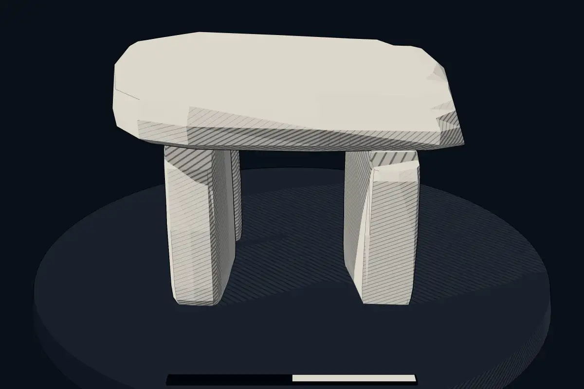
The reconstruction is ours, not a survey: it shows what a monument of this type looks like, at the size the record gives for this one.
Photographs
6 photographs, each with its author and licence
More photographs


Lore
Evidence & Lore
What the sources actually support — and, kept apart, what has been claimed.
What the evidence supports
Dates
Est. 4000–3000 BCEHow this date was established: Type comparisonTypical range for dolmens in France; this site has not been dated itself. Most dolmens date from the Late Neolithic period (4000-3000 BCE).Source for this date
Where it stands
France
The pin marks the monument itself — its exact point.
- Coordinates
- 47°34′40″ N, 6°48′02″ EFor a GPS or map app: 47.57776, 6.80061
Access is as our sources describe it; we have not visited the site to check.
Nearby
The closest sites in the Atlas, by straight line.
 Cromlech des Fourneaux3300–2500 BCE
- Megalithic mound (tumulus with integral stones)iron age burial mound
 La Châtre dolmen4000–3000 BCE
 Aillevans dolmen4000–3000 BCE
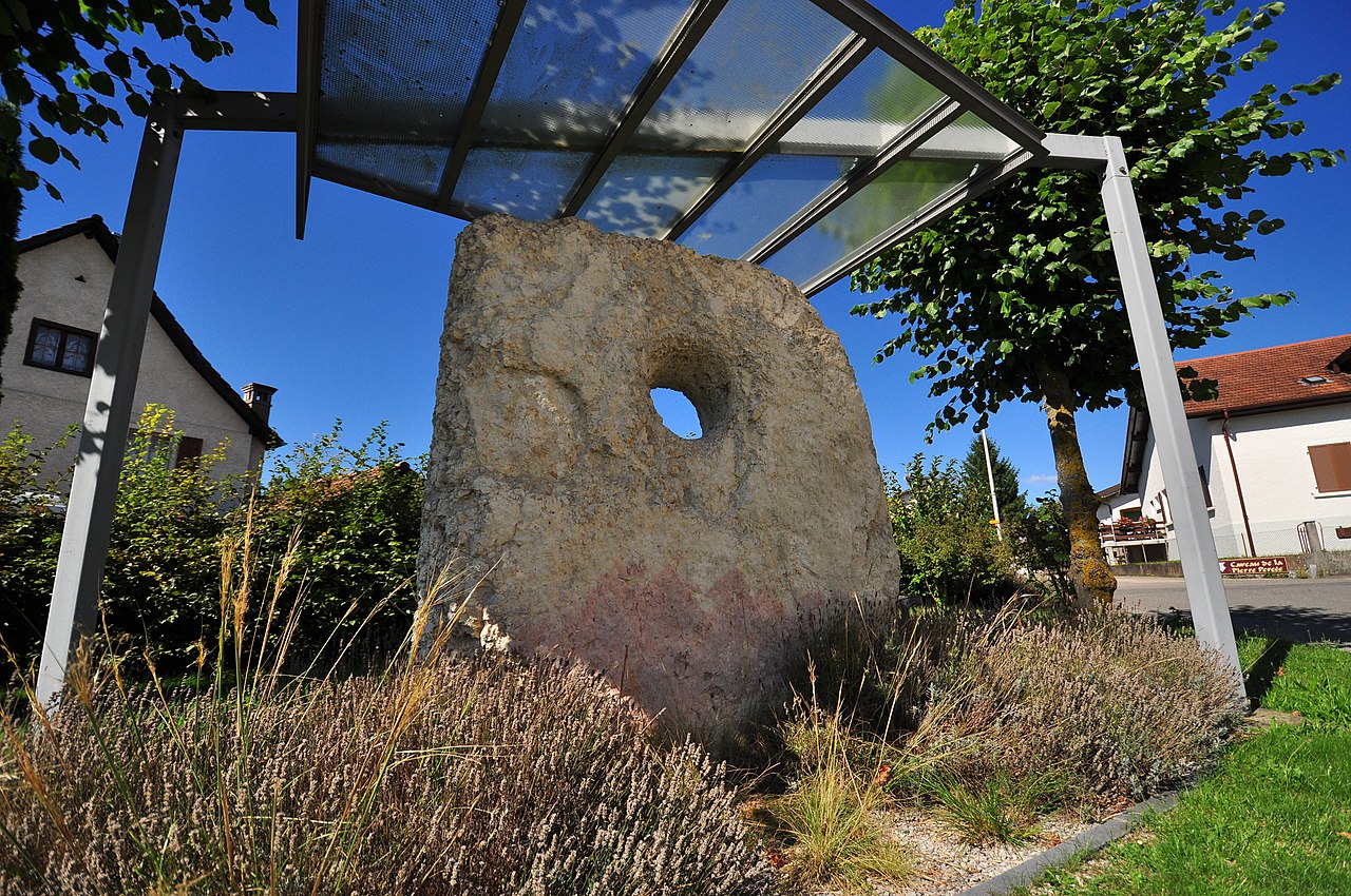 Courgenay holed stone
- Stelestèle des Paras
 Dolmen de la Pierre-qui-vire4000–3000 BCE
- Megalithic mound (tumulus with integral stones)Goben, burial mound of unknown date


Sources
Every record behind this page, with the link it came from.
2 sources behind this page
- 01Wikidata Q1235866wikidata.org
- 02Source for this dateen.wikipedia.org
Image files
- 2013-09-20 10-07-48-dolmen-PA00102125.jpgThomas BressonCC BY 3.0
- 2021-04-13 16-48-02 dolmen-Brevilliers.jpgThomas BressonCC BY 4.0
- 2021-04-13 16-52-38 dolmen-Brevilliers.jpgThomas BressonCC BY 4.0
- 2013-09-20 10-12-31-dolmen-PA00102125.jpgThomas BressonCC BY 3.0
- Le dolmen de Brévilliers (1).jpgEspiratCC BY-SA 4.0
- Le dolmen de Brévilliers. (3).jpgEspiratCC BY-SA 4.0
Report a correctionWrong date, name, photograph or source? Tell us and it will be put right.
Around this place
The ten nearest sites, by compass
Credit
Text, licence and sources
Adapted from the Wikipedia article "Dolmen des Issières" (French), licensed CC BY-SA 4.0; authors are listed in the page history. Reused under CC BY-SA 4.0. Read on Wikipedia · Edit history and authors
- Wikipedia (French): Dolmen des IssièresCC BY-SA 4.0
- Wikidata Q1235866CC0