

Overview
About this site
Overview
The Conche Verte, also called the menhir de l'Ermitage de Saint Vivence, is a standing stone at Olonne-sur-Mer, in the commune of Les Sables-d'Olonne, department of Vendée, France. It is dated typologically to between 2800 and 1800 BCE.
The menhir was mentioned as early as 1865 and was found hidden beneath a dune in 1901. Excavation showed that the dune formed after the stone was erected.
Read on Wikipedia1 min readCC BY-SA 4.0
Where it sits in time
The site's dated range, placed against world reference points.
The scale is logarithmic: each step to the left is about ten times older than the last.
Article
Conche Verte
DescriptionSources for this section
- Wikipedia (French): Conche VerteCC BY-SA 4.0
Sources for this section
- Wikipedia (French): Conche VerteCC BY-SA 4.0
The menhir is a block of mica-schist. It has been re-erected and now stands 3.15 m high, with a total length of 3.45 m, a width of 1.50 m and a maximum thickness of 0.50 m at the base.
Marcel Baudouin rediscovered it hidden under the dune in 1901 and excavated the site, where he found the setting pit and the limestone wedging stones.
ExcavationsSources for this section
- Wikipedia (French): Conche VerteCC BY-SA 4.0
Sources for this section
- Wikipedia (French): Conche VerteCC BY-SA 4.0
The menhir is mentioned from 1865. Marcel Baudouin rediscovered it hidden under the dune in 1901 and excavated the site, where he found the setting pit and the limestone wedging stones. A layer of blackish earth beneath the menhir indicates that the dune formed after the stone was erected.
During the excavation Baudouin found a fragment of a large polished axe made of amphibolite.
ConservationSources for this section
- Wikipedia (French): Conche VerteCC BY-SA 4.0
Sources for this section
- Wikipedia (French): Conche VerteCC BY-SA 4.0
The monument was classified as a historical monument by decree of 22 June 1903.
Tradition and region
About this kind of monument
Breton and French menhirs
A menhir is a large upright stone placed by humans. The word comes from the Breton maen and hir, "long stone", and entered archaeology through French antiquarians in the eighteenth and nineteenth centuries; in modern Breton the word for such a stone is peulvan. Menhirs are most numerous in Western Europe, with about 1,200 in north-western France alone, and Brittany stands out for both the density of monuments and the variety of types.
The largest known menhir is the Grand Menhir Brisé at Locmariaquer. It once stood nearly 20.6 metres high, and now lies fractured in four pieces; whole, it would have weighed some 330 tonnes. Stones in the Carnac area were hewn from local granite by the pre-Celtic people of Brittany. At Carnac more than 3,000 prehistoric standing stones form the largest such collection in the world, arranged in groups of alignments that stretch for four kilometres. The stones were erected at some point in the Neolithic, probably around 3300 BCE, with some perhaps as early as 4500 BCE. Elsewhere, the Cham des Bondons in the Cévennes is the second largest concentration in France, and a menhir 4.5 metres tall stands against Le Mans Cathedral, moved there in 1778 when its dolmen was destroyed.
Dating a menhir is difficult, because standing stones are usually hard to date and were put up in many different periods.
Folklore: a Christian legend held that the stones of Carnac were pagan soldiers who had pursued Pope Cornelius and were turned to stone by him. Modern beliefs link the stones with Roman and Christian occupation, even though they date from 4500 to 3300 BCE.
When visiting, look at how the stones taper towards the top and at how the alignments run across the slope.
Paraphrased from Wikipedia: Menhir, Wikipedia: Carnac stones, Wikipedia: Locmariaquer megaliths, Wikipedia: List of menhirs · CC BY-SA 4.0
From the article
Dated moments in the story
- 1865
Le menhir est mentionné dès 1865. Marcel Baudouin le redécouvre caché sous la dune en 1901 et entreprend une fouille du site qui lui permet de retrouver la fosse d’implantation et les pierres de calage en calcaire.
Source - 1903
L'édifice est classé au titre des monuments historiques classement par arrêté du 22 juin 1903.
Source - 1997
Bertrand Poissonnier, La Vendée préhistorique, La Crèche, Geste éditions, 1997, 367 p.
Source
See it in 3D
An interpretive reconstruction of the monument, standing on the real ground at its exact point, under the sun for that place and season. Drag to look around it.
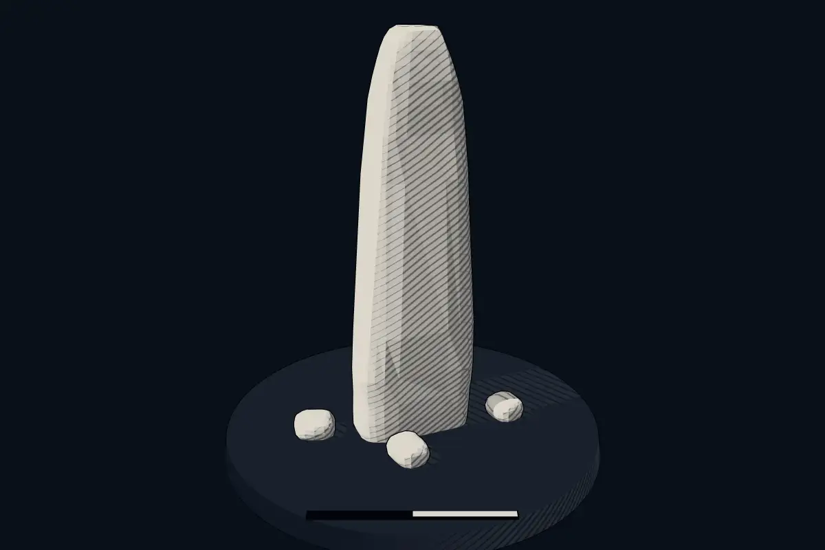
The reconstruction is ours, not a survey: it shows what a monument of this type looks like, at the size the record gives for this one.
Photographs
1 photograph, each with its author and licence
Lore
Evidence & Lore
What the sources actually support — and, kept apart, what has been claimed.
What the evidence supports
Dates
Est. 2800–1800 BCEHow this date was established: Type comparisonTypical range for menhirs in France; this site has not been dated itself. Standing stones are associated with the Beaker people of the European late Neolithic and early Bronze Age c. 2800-1800 BC.Source for this date
Where it stands
France
The pin marks the monument itself — its exact point.
- Coordinates
- 46°34′17″ N, 1°49′35″ WFor a GPS or map app: 46.57140, -1.82630
Access is as our sources describe it; we have not visited the site to check.
Nearby
The closest sites in the Atlas, by straight line.
 Crulière menhir2800–1800 BCE
 Pierre Levée de Soubise4000–3000 BCE
 La Minche du Diable2800–1800 BCE
 Les Pierres Jumelles2800–1800 BCE
 Menhir de la Tonnelle2800–1800 BCE
- Megalithpierre de criée de Saint-Maixent-sur-Vie4500–3300 BCE
 Dolmen des Pierres-Folles4000–3000 BCE
- Menhir (standing stone)pierre au Trésor de la Triée2800–1800 BCE


Sources
Every record behind this page, with the link it came from.
2 sources behind this page
- 01Wikidata Q22963039wikidata.org
- 02Source for this dateen.wikipedia.org
Image files
- Olonne conche-verte 03.jpgLiberligerCC BY-SA 4.0
Report a correctionWrong date, name, photograph or source? Tell us and it will be put right.
Around this place
The ten nearest sites, by compass
- Crulière menhir4.2 km N
- Pierre Levée de Soubise4.8 km N
- La Minche du Diable5.6 km NE
- Les Pierres Jumelles7.4 km SE
- Menhir de la Tonnelle17 km NW
- pierre de criée de Saint-Maixent-sur-Vie19 km N
- Dolmen des Pierres-Folles20 km N
- pierre au Trésor de la Triée21 km N
- menhir du Pré-Doux21 km N
- menhir de la Grand'Pierre23 km N
Credit
Text, licence and sources
Adapted from the Wikipedia article "Conche Verte" (French), licensed CC BY-SA 4.0; authors are listed in the page history. Reused under CC BY-SA 4.0. Read on Wikipedia · Edit history and authors
- Wikipedia (French): Conche VerteCC BY-SA 4.0
- Wikidata Q22963039CC0