Caleca Cist
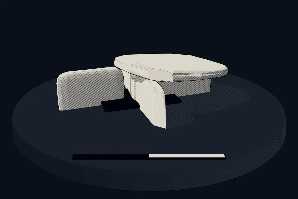
No licensed photograph yetWe have no photograph we may publish for this site, so the interpretive 3D view leads instead.
Overview
About this site
Overview
The Caleca cist (French Coffre de Caleca) is a stone cist near Levie in the département of Corse-du-Sud on the island of Corsica, France. It is probably a structure of the Torre culture, and it measures 3.2 × 1.7 m.
It lies on private land and is not accessible to the public.
Read on Wikipedia2 min readCC BY-SA 4.0
Article
Caleca Cist
The cist stands on the granite plateau Pianu di Levie in the Alta Rocca, at about 900 m, close to the sites of Castellu di Capula and Castellu di Cucuruzzu.
SettingSources for this section
- Wikipedia (German): Steinkiste von CalecaCC BY-SA 4.0
Sources for this section
- Wikipedia (German): Steinkiste von CalecaCC BY-SA 4.0
The cist stands on the granite plateau Pianu di Levie in the Alta Rocca, at about 900 m, close to the sites of Castellu di Capula and Castellu di Cucuruzzu. It is about 1.5 km from the car park at Cucuruzzu.
DatingSources for this section
- Wikipedia (German): Steinkiste von CalecaCC BY-SA 4.0
Sources for this section
- Wikipedia (German): Steinkiste von CalecaCC BY-SA 4.0
Cists and dolmens were collective burial places on the island in the 3rd millennium BCE. The Caleca cist, however, differs fundamentally from the Neolithic cists of southern Corsica. Neither arrowheads nor obsidian were found, and the architecture of the cist would be entirely unusual for the 3rd millennium BCE. Parts of bronze jewellery were also found in the grave, similar to that common at Iron Age sites. The burial place may therefore have been used in a manner similar to the others, but only at the beginning of the 1st millennium BCE, possibly for a later burial.
ContextSources for this section
- Wikipedia (German): Steinkiste von CalecaCC BY-SA 4.0
Sources for this section
- Wikipedia (German): Steinkiste von CalecaCC BY-SA 4.0
Cists are found across Europe and the Middle East. A cist is a small stone-built coffin-like box or ossuary used to hold the dead, and several may be found close together within the same cairn or barrow.
Tradition and region
About this kind of monument
Stone cists
A cist, or kist, is a small stone-built coffin-like box or ossuary used to hold the bodies of the dead. Cists are found across Europe and the Middle East, and in some ways resemble a shaft tomb. They may have been associated with other monuments, perhaps under a cairn or a long barrow, and several cists are sometimes found close together within the same cairn or barrow. Ornaments have often been found in excavated cists, indicating the wealth or prominence of the person buried. The word is related to the Ancient Greek kiste and to English chest.
In Britain and Ireland, the Bronze Age cist is a common grave type: a round barrow may have a stone cist or a cut grave at its centre, and the burial may be an inhumation or a cremation placed in a vessel. The Bell Beaker phenomenon brought individual burials, often under tumuli, with weapons, in contrast with the earlier Neolithic tradition of collective burial.
Cists differ from chambered cairns because the cist is typically smaller than a chamber and holds fewer interments.
Dating relies on the objects inside and on radiocarbon dating of surviving bone; where neither is available the Atlas gives a broad range from the Neolithic to the Bronze Age.
When visiting, look for the slab lining, the capping stone and any ring of stones that marks where a cairn stood.
Paraphrased from Wikipedia: Cist, Wikipedia: Round barrow, Wikipedia: Bell Beaker culture, Wikipedia: Cairn, Wikipedia: Chambered cairn · CC BY-SA 4.0
See it in 3D
An interpretive reconstruction of the monument, standing on the real ground at its exact point, under the sun for that place and season. Drag to look around it.
The reconstruction is ours, not a survey: it shows what a monument of this type looks like, at the size the record gives for this one.
Where it stands
France
The pin marks the monument itself — its exact point.
- Coordinates
- 41°42′34″ N, 9°06′57″ EFor a GPS or map app: 41.70931, 9.11597
Access is as our sources describe it; we have not visited the site to check.
Nearby
The closest sites in the Atlas, by straight line.


Sources
Every record behind this page, with the link it came from.
1 source behind this page
- 01Wikidata Q2341098wikidata.org
Report a correctionWrong date, name, photograph or source? Tell us and it will be put right.
Around this place
The ten nearest sites, by compass
Credit
Text, licence and sources
Adapted from the Wikipedia article "Steinkiste von Caleca" (German), licensed CC BY-SA 4.0; authors are listed in the page history. Reused under CC BY-SA 4.0. Read on Wikipedia · Edit history and authors
- Wikipedia (German): Steinkiste von CalecaCC BY-SA 4.0
- Wikidata Q2341098CC0