Zwölf Apostel
DatedEst. 2800–1800 BCE
No licensed photograph yetWe have no photograph we may publish for this site, so the interpretive 3D view leads instead.
Overview
About this site
Overview
The Zwölf Apostel, also called the Apostelsteine, are a prehistoric menhir complex near Ahlhorn, a district of Großenkneten in the Landkreis Oldenburg, Lower Saxony, Germany. The catalogue gives a typological estimate for its date of between 2800 and 1800 BCE.
The whole complex measures 70 m from north-east to south-west and 24 m from north-west to south-east. It is said to have consisted originally of 16 stones, of which 13 survive.
Read on Wikipedia2 min readCC BY-SA 4.0
Where it sits in time
The site's dated range, placed against world reference points.
The scale is logarithmic: each step to the left is about ten times older than the last.
Article
Zwölf Apostel
SettingSources for this section
- Wikipedia (German): Zwölf Apostel (Ahlhorn)CC BY-SA 4.0
Sources for this section
- Wikipedia (German): Zwölf Apostel (Ahlhorn)CC BY-SA 4.0
The stones lie north-west of Ahlhorn, beside the Ahlhorn fish ponds, directly on a path.
The stones were originally arranged in two circles of different sizes, and a single stone stood a little apart to the north-east.
DescriptionSources for this section
- Wikipedia (German): Zwölf Apostel (Ahlhorn)CC BY-SA 4.0
Sources for this section
- Wikipedia (German): Zwölf Apostel (Ahlhorn)CC BY-SA 4.0
The stones are partly columnar and partly rounded, and none of them now stands upright. All are of reddish granite. The largest stone has a length of 2,5 m, a width of 1,8 m and a thickness of 0,75 m. The stones were originally arranged in two circles of different sizes, and a single stone stood a little apart to the north-east.
Astronomical alignmentSources for this section
- Wikipedia (German): Zwölf Apostel (Ahlhorn)CC BY-SA 4.0
Sources for this section
- Wikipedia (German): Zwölf Apostel (Ahlhorn)CC BY-SA 4.0
According to Karl Michaelsen, the axis from the centres of the two circles to the single stone originally pointed, with only a minimal deviation, to the point of sunrise at the summer solstice. His reading of the complex as a prehistoric calendar is difficult to verify. He carried out his study more than 30 years after the damage done to the site, and made only a sketch plan of the stones. In addition, the stones are said to have been partly moved again during clearing work after a storm in 1972.
ConservationSources for this section
- Wikipedia (German): Zwölf Apostel (Ahlhorn)CC BY-SA 4.0
Sources for this section
- Wikipedia (German): Zwölf Apostel (Ahlhorn)CC BY-SA 4.0
When the fish ponds were laid out in 1922, a path and a ditch were made that run through the southern part of the complex, which was considerably damaged as a result. At least one stone was sunk at that time.
ContextSources for this section
- Wikipedia (German): Zwölf Apostel (Ahlhorn)CC BY-SA 4.0
Sources for this section
- Wikipedia (German): Zwölf Apostel (Ahlhorn)CC BY-SA 4.0
Outside the Atlantic fringe, menhirs also occur across central and southern Europe. In the Czech Republic there are about 40 real menhirs, and the Czech menhirs are probably the last outcrop of a tradition that ran across northern Germany.
Tradition and region
About this kind of monument
Central and southern European menhirs
Outside the Atlantic fringe, menhirs also occur across central and southern Europe. In the Czech Republic there are about 40 real menhirs and dozens of stones that could also be menhirs, and others have been erected recently. The largest real menhir is Kamenný pastýř, the "stony shepherd", near Klobuky, 3.3 metres high; the Czech menhirs are probably the last outcrop of a tradition that ran across northern Germany. Some of the Czech stones in the Atlas may be natural boulders.
Italy has its most famous menhirs in Sardinia, where at least 332 standing stones can be seen. They include elaborate "statue-menhirs" that show a human face at the top and gendered symbols on the flat front; over a hundred of this standardised type have been found, mostly around the village of Laconi. In the Sardinian language they are called perdas fittas or perdas lungas. In Switzerland, in the canton of Vaud, several menhirs form linear patterns at Clendy in Yverdon-les-Bains, and date back to the third millennium BCE.
A statue menhir is a carved standing stone of the later European Neolithic, in which a slab or pillar has a stylised human figure cut into it, sometimes with hints of clothing or weapons. They are most commonly found in southern and western France, Catalonia, Corsica, Sardinia, Italy and the Alps.
Menhirs are usually difficult to date, and those without excavation can only be given a broad range. A stone's present position is not always its original one.
When visiting, check whether a stone stands in its original position and look for signs of shaping.
Paraphrased from Wikipedia: Menhir, Wikipedia: List of menhirs, Wikipedia: Statue menhir · CC BY-SA 4.0
From the article
Dated moments in the story
- 1922
Bei der Anlage der Fischteiche wurden 1922 ein Weg und ein Graben angelegt, die durch den südlichen Teil der Anlage führen, wodurch dieser erheblich in Mitleidenschaft gezogen wurde.
Source - 1972
Zum anderen sollen die Steine bei Aufräumarbeiten nach einem Sturm im Jahr 1972 teilweise erneut umgesetzt worden sein.
Source
See it in 3D
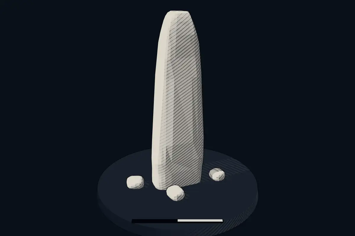
An interpretive reconstruction of the monument, standing on the real ground at its exact point, under the sun for that place and season. Drag to look around it.
The reconstruction is ours, not a survey: it shows what a monument of this type looks like, at the size the record gives for this one.
Lore
Evidence & Lore
What the sources actually support — and, kept apart, what has been claimed.
What the evidence supports
Dates
Est. 2800–1800 BCEHow this date was established: Type comparisonTypical range for menhirs in Germany; this site has not been dated itself. Standing stones are associated with the Beaker people of the European late Neolithic and early Bronze Age c. 2800-1800 BC.Source for this date
Where it stands
Germany
The pin marks the monument itself — its exact point.
- Coordinates
- 52°55′32″ N, 8°08′54″ EFor a GPS or map app: 52.92545, 8.14846
Access is as our sources describe it; we have not visited the site to check.
Nearby
The closest sites in the Atlas, by straight line.
 Großsteingrab Bakenhus3500–2800 BCE
 Großsteingrab Ahlhorn3500–2800 BCE
 Großsteingräber bei Huntlosen3500–2800 BCE
 Visbeker Bräutigam3500–2800 BCE
 Großsteingrab Heidenopfertisch3500–2800 BCE
 Ahlhorner Kellersteine3500–2800 BCE
- DolmenGroßsteingräber bei Stüvenmühle3500–2800 BCE
 Steinloger Kellersteine3500–2800 BCE


Sources
Every record behind this page, with the link it came from.
2 sources behind this page
- 01Wikidata Q47374867wikidata.org
- 02Source for this dateen.wikipedia.org
Report a correctionWrong date, name, photograph or source? Tell us and it will be put right.
Around this place
The ten nearest sites, by compass
- Großsteingrab Bakenhus6.4 km E
- Großsteingrab Ahlhorn8.5 km SE
- Großsteingräber bei Huntlosen8.7 km NE
- Visbeker Bräutigam9.5 km SE
- Großsteingrab Heidenopfertisch9.6 km SE
- Ahlhorner Kellersteine10 km SE
- Großsteingräber bei Stüvenmühle11 km SE
- Steinloger Kellersteine12 km SE
- Gräberfeld von Emstek-Drantum12 km S
- Visbeker Braut12 km E
Credit
Text, licence and sources
Adapted from the Wikipedia article "Zwölf Apostel (Ahlhorn)" (German), licensed CC BY-SA 4.0; authors are listed in the page history. Reused under CC BY-SA 4.0. Read on Wikipedia · Edit history and authors