
Menhir (standing stone)The Bronze Age
Spellenstein
DatedEst. 2800–1800 BCE
Photo No machine-readable author provided. Kh80 assumed (based on copyright claims). · CC BY-SA 3.0Source file on Wikimedia Commons
Overview
About this site
Overview
The Spellenstein is a menhir in Rentrisch, a district of the town of St. Ingbert in Saarland, Germany. It dates from the end of the Neolithic and is generally thought to have been erected about 1800 BCE.
It stands 5.05 m above ground, extends about 1.5 m below it and weighs 15 to 20 tonnes. Its purpose is unknown, and houses now surround it.
Read on Wikipedia2 min readCC BY-SA 4.0
Where it sits in time
The site's dated range, placed against world reference points.
The scale is logarithmic: each step to the left is about ten times older than the last.
Article
Spellenstein
It can still be seen fairly clearly that the Spellenstein was originally a four-sided stone spindle tapering towards the top.
DescriptionSources for this section
- Wikipedia (German): SpellensteinCC BY-SA 4.0
Sources for this section
- Wikipedia (German): SpellensteinCC BY-SA 4.0
The stone weighs between 15 and 20 tonnes. Its height above ground is 5.05 m, and it extends about 1.5 m into the soil. It can still be seen fairly clearly that the Spellenstein was originally a four-sided stone spindle tapering towards the top. It is made of the hardest sandstone, presumably worked with hard quartz tools. The material is thought to come from the Pfaffenkopf at Dudweiler.
Research historySources for this section
- Wikipedia (German): SpellensteinCC BY-SA 4.0
Sources for this section
- Wikipedia (German): SpellensteinCC BY-SA 4.0
The foot of the menhir was dug out in 1894. A bottle lies beneath the stone, containing a document of the town of St. Ingbert signed by the workers who took part in the excavation of the Spellenstein in 1935.
InterpretationSources for this section
- Wikipedia (German): SpellensteinCC BY-SA 4.0
Sources for this section
- Wikipedia (German): SpellensteinCC BY-SA 4.0
The exact purpose of the Spellenstein is unknown. The legend, however, connects it with the Stiefelfelsen, which lies 1300 m away in a straight line and whose "boot tip" points towards the menhir.
NameSources for this section
- Wikipedia (German): SpellensteinCC BY-SA 4.0
Sources for this section
- Wikipedia (German): SpellensteinCC BY-SA 4.0
The stone has been known historically as the Spillenstein and the Krimhildespill, and from the sixteenth to the eighteenth century also as the Grimolde Pfeil.
Later historySources for this section
- Wikipedia (German): SpellensteinCC BY-SA 4.0
Sources for this section
- Wikipedia (German): SpellensteinCC BY-SA 4.0
In the late Middle Ages and the early modern period the stone marked a boundary of the right of escort (Geleitrecht) on the old escort road, the Geleitstraße, later the Kaiserstraße. The geographer Tilemann Stella recorded it in his survey of 1564 as the Pirmansstein, on the Rennfelt, using a particularly tall boundary-stone symbol. By about 1900 the built-up area of the village had reached the menhir, so that it now stands in a front garden.
ContextSources for this section
- Wikipedia (German): SpellensteinCC BY-SA 4.0
Sources for this section
- Wikipedia (German): SpellensteinCC BY-SA 4.0
The Spellenstein is similar to the Gollenstein near Blieskastel.
Tradition and region
About this kind of monument
Central and southern European menhirs
Outside the Atlantic fringe, menhirs also occur across central and southern Europe. In the Czech Republic there are about 40 real menhirs and dozens of stones that could also be menhirs, and others have been erected recently. The largest real menhir is Kamenný pastýř, the "stony shepherd", near Klobuky, 3.3 metres high; the Czech menhirs are probably the last outcrop of a tradition that ran across northern Germany. Some of the Czech stones in the Atlas may be natural boulders.
Italy has its most famous menhirs in Sardinia, where at least 332 standing stones can be seen. They include elaborate "statue-menhirs" that show a human face at the top and gendered symbols on the flat front; over a hundred of this standardised type have been found, mostly around the village of Laconi. In the Sardinian language they are called perdas fittas or perdas lungas. In Switzerland, in the canton of Vaud, several menhirs form linear patterns at Clendy in Yverdon-les-Bains, and date back to the third millennium BCE.
A statue menhir is a carved standing stone of the later European Neolithic, in which a slab or pillar has a stylised human figure cut into it, sometimes with hints of clothing or weapons. They are most commonly found in southern and western France, Catalonia, Corsica, Sardinia, Italy and the Alps.
Menhirs are usually difficult to date, and those without excavation can only be given a broad range. A stone's present position is not always its original one.
When visiting, check whether a stone stands in its original position and look for signs of shaping.
Paraphrased from Wikipedia: Menhir, Wikipedia: List of menhirs, Wikipedia: Statue menhir · CC BY-SA 4.0
From the article
Dated moments in the story
- 1800 BCE
Allgemein wird davon ausgegangen, dass der Spellenstein um 1800 v. Chr. aufgestellt wurde.
Source - 1564
Der Geograph Tilemann Stella zeichnete ihn in seiner Landesaufnahme 1564 mit einer besonders hohen Grenzsteinsignatur auf dem Rennfelt als Pirmansstein ein.
Source - 1894
Der Fuß des Menhirs wurde 1894 ausgegraben.
Source - 1900
Bereits um 1900 erreichte die Ortsbebauung den Menhir, so dass er heute in einem Vorgarten steht.
Source - 1935
Ingbert enthält, das von den Mitarbeitern der Ausgrabung des Spellensteins im Jahr 1935 unterschrieben worden ist.
Source
See it in 3D
An interpretive reconstruction of the monument, standing on the real ground at its exact point, under the sun for that place and season. Drag to look around it.
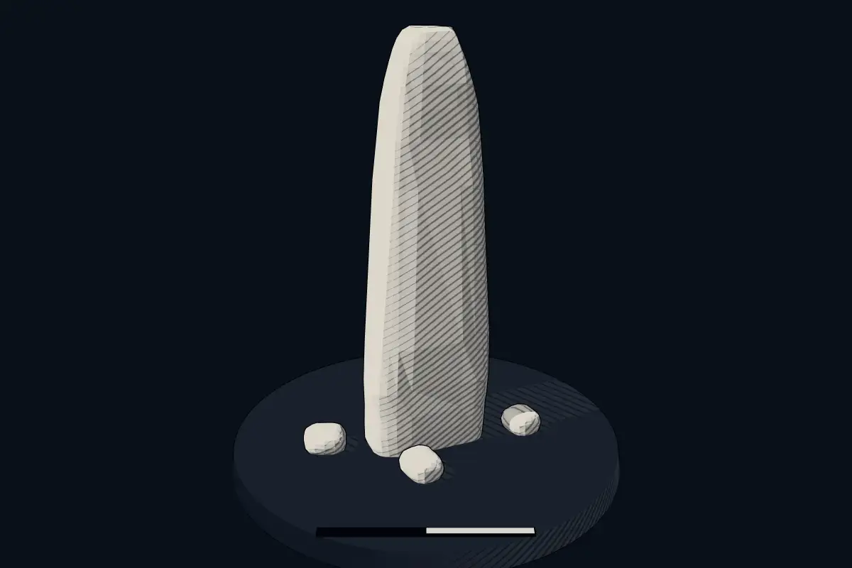
The reconstruction is ours, not a survey: it shows what a monument of this type looks like, at the size the record gives for this one.
Photographs
5 photographs, each with its author and licence
More photographs
Lore
Evidence & Lore
What the sources actually support — and, kept apart, what has been claimed.
What the evidence supports
Dates
Est. 2800–1800 BCEHow this date was established: Type comparisonTypical range for menhirs in Germany; this site has not been dated itself. Standing stones are associated with the Beaker people of the European late Neolithic and early Bronze Age c. 2800-1800 BC.Source for this date
Where it stands
Germany
The pin marks the monument itself — its exact point.
- Coordinates
- 49°16′03″ N, 7°05′05″ EFor a GPS or map app: 49.26750, 7.08472
Access is as our sources describe it; we have not visited the site to check.
Nearby
The closest sites in the Atlas, by straight line.


Sources
Every record behind this page, with the link it came from.
2 sources behind this page
- 01Wikidata Q2308895wikidata.org
- 02Source for this dateen.wikipedia.org
Image files
- Spellenstein 03.jpgNo machine-readable author provided. Kh80 assumed (based on copyright claims).CC BY-SA 3.0
- 20210328 Spellenstein 02.jpgFlocci NivisCC BY 4.0
- Am Spellenstein Straßenschild.jpgNo machine-readable author provided. Kh80 assumed (based on copyright claims).CC BY-SA 3.0
- Spellenstein 04.jpgAutor nie został podany w rozpoznawalny automatycznie sposób. Założono, że to Kh80 (w oparciu o szablon praw autorskich).CC BY-SA 3.0
- Spellenstein Hinweisschild.jpgNo machine-readable author provided. Kh80 assumed (based on copyright claims).CC BY-SA 3.0
Report a correctionWrong date, name, photograph or source? Tell us and it will be put right.
Lore, kept apart
Legends and claims
These are stories and claims reported by the sources. They are not evidence, and they never stand in for the dating above.
- Tradition
Der Spellenstein (historisch: Spillenstein und Krimhildespill, im 16.
Der Spellenstein (historisch: Spillenstein und Krimhildespill, im 16. bis 18. Jahrhundert auch Grimolde Pfeil genannt) ist ein Menhir in Rentrisch, einem Stadtteil der Mittelstadt St. Ingbert im Saarland. Er stammt aus der ausgehenden Jungsteinzeit. Allgemein wird davon ausgegangen, dass der Spellenstein um 1800 v. Chr. aufgestellt wurde. Bei einem Gewicht von 15 bis 20 Tonnen beträgt seine Höhe über Grund 5,05 m, in den Boden reicht er etwa 1,5 m. Der Fuß des Menhirs wurde 1894 ausgegraben. Unter dem Spellenstein liegt eine Flasche, die ein Dokument der Stadt St. Ingbert enthält, das von den Mitarbeitern der Ausgrabung des Spellensteins im Jahr 1935 unterschrieben worden ist. Es ist noch relativ deutlich zu erkennen, dass der Spellenstein ursprünglich eine sich nach oben verjüngende, vierkantige Steinspindel darstellte. Gefertigt wurde er aus härtestem Sandstein, vermutlich mit Hilfe harter Quarzwerkzeuge. Das Material stammt mutmaßlich vom Dudweiler Pfaffenkopf. Welchem Zweck der Spellenstein genau diente, liegt im Dunkeln. Jedoch stellt die Sage ihn in einen Zusammenhang mit dem 1300 m Luftlinie entfernten Stiefelfelsen, dessen „Stiefelspitze“ in Richtung des Spellensteins zeigt. Im ausgehenden Mittelalter und der frühen Neuzeit markierte er eine Grenze des Geleitrechts auf der alten Geleitstraße, der späteren Kaiserstraße. Der Geograph Tilemann Stella zeichnete ihn in seiner Landesaufnahme 1564 mit einer besonders hohen Grenzsteinsignatur auf dem Rennfelt als Pirmansstein ein. Bereits um 1900 erreichte die Ortsbebauung den Menhir, so dass er heute in einem Vorgarten steht. Dem Spellenstein ähnlich ist der Gollenstein bei Blieskastel.
Source
Around this place
The ten nearest sites, by compass
Credit
Text, licence and sources
Adapted from the Wikipedia article "Spellenstein" (German), licensed CC BY-SA 4.0; authors are listed in the page history. Reused under CC BY-SA 4.0. Read on Wikipedia · Edit history and authors
- Wikipedia (German): SpellensteinCC BY-SA 4.0
- Wikidata Q2308895CC0