_(9).jpg/1920px-Nem%C4%9Bjice_(Slab%C4%8Dice)_(9).jpg 1920w)
Stone circle
Photo Richenza · CC BY-SA 3.0Source file on Wikimedia Commons

Overview
About this site
Overview
Stone circle is a stone circle in Slabčice, Czech Republic. It lies at 49.3195° N, 14.3505° E.
Catalogue recordSources and licences
Article
Stone circle
ContextSources for this section
- en.wikipedia.orgCC BY-SA 4.0
- en.wikipedia.orgCC BY-SA 4.0
- en.wikipedia.orgCC BY-SA 4.0
Sources for this section
- en.wikipedia.orgCC BY-SA 4.0
- en.wikipedia.orgCC BY-SA 4.0
- en.wikipedia.orgCC BY-SA 4.0
Stone circles are found far beyond their north-western European heartland. The most famous Asian example is the Ōyu Stone Circles in Kazuno, Akita Prefecture, in northern Japan, a late Jōmon period site of about 2000 to 1500 BCE. It consists of two large stone circles built on an artificially flattened plateau on the left bank of the Ōyu River. The site was discovered in 1931, excavated in detail in 1946 and in 1951 to 1952, and designated a Special National Historic Site in 1956. Each circle is made of rounded river stones brought from a river about 7 kilometres away, set in two concentric rings. The larger, called Manza, is the largest stone circle found in Japan; its clusters of stones have been read as a sundial pointing to the summer solstice sunset. The regional background, “Stone circles in other regions”, is given below.
Dating
No date has been published for this site.
Setting
1 other recorded monument lies within 10 km (0 within 1 km, 0 within 5 km). In Slabčice, Czech Republic, 1 of the 1 recorded monuments are of this type.
The nearest recorded monuments are Mohyla (6.9 km west, megalithic mound); menhir u Milevska (15.6 km north, menhir); Menhir u Višňovky (24.3 km north-west, menhir); menhir Kozlov I (24.6 km north, menhir).
ProtectionSources for this section
Sources for this section
No heritage designation is recorded for the site.
Tradition and region
About this kind of monument
Stone circles in other regions
Stone circles are found far beyond their north-western European heartland. The most famous Asian example is the Ōyu Stone Circles in Kazuno, Akita Prefecture, in northern Japan, a late Jōmon period site of about 2000 to 1500 BCE. It consists of two large stone circles built on an artificially flattened plateau on the left bank of the Ōyu River. The site was discovered in 1931, excavated in detail in 1946 and in 1951 to 1952, and designated a Special National Historic Site in 1956. Each circle is made of rounded river stones brought from a river about 7 kilometres away, set in two concentric rings. The larger, called Manza, is the largest stone circle found in Japan; its clusters of stones have been read as a sundial pointing to the summer solstice sunset.
The word cromlech is also applied to large stone circles such as those in Odry in Poland and among the Carnac stones in Brittany, and in many languages, including Azerbaijani, Armenian, Greek, Indonesian, Italian and Spanish, it is the usual term for a megalithic stone circle. Odry is the Polish cromlech. Elsewhere in Europe the Atlas has small numbers of circles in the Czech Republic, Bulgaria and Germany. Some structures are called stone circles for historic reasons or by mistake, so labels need care. The Senegambian stone circles of West Africa have their own article.
Often similar structures are called stone circles by historic habit or by mistake, and the name alone does not show that a ring is prehistoric. The Atlas does not guess, and gives each circle the range of the culture it belongs to.
When visiting, compare the circle with the landscape, and look at what is visible from its centre.
Paraphrased from Wikipedia: Ōyu Stone Circles, Wikipedia: Stone circle, Wikipedia: Cromlech · CC BY-SA 4.0
See it in 3D
An interpretive reconstruction of the monument, standing on the real ground at its exact point, under the sun for that place and season. Drag to look around it.
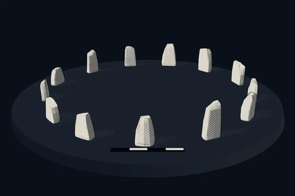
The reconstruction is ours, not a survey: it shows what a monument of this type looks like, at the size the record gives for this one.
Photographs
4 photographs, each with its author and licence
More photographs


Where it stands
Czech Republic
The pin marks the monument itself — its exact point.
- Coordinates
- 49°19′10″ N, 14°21′02″ EFor a GPS or map app: 49.31946, 14.35047
Access is as our sources describe it; we have not visited the site to check.
Nearby
The closest sites in the Atlas, by straight line.
- Megalithic mound (tumulus with integral stones)Mohyla
 menhir u Milevska2800–1800 BCE
- Menhir (standing stone)Menhir u Višňovky2800–1800 BCE
- Menhir (standing stone)menhir Kozlov I2800–1800 BCE
- Menhir (standing stone)menhir u Chválova2800–1800 BCE
- Menhir (standing stone)Chlístovské menhiry2800–1800 BCE
- Menhir (standing stone)Menhir Buckovna II ve Veletíně2800–1800 BCE
 Novodobý menhir v Neplachově2800–1800 BCE


Sources
Every record behind this page, with the link it came from.
1 source behind this page
- 01Wikidata Q99209748wikidata.org
Image files
Report a correctionWrong date, name, photograph or source? Tell us and it will be put right.
Around this place
The ten nearest sites, by compass
Credit
Text, licence and sources
Compiled from open records (Wikidata, CC0; OpenStreetMap, ODbL) and a regional background article based on Wikipedia (CC BY-SA 4.0).
- Wikidata Q99209748CC0
- en.wikipedia.orgCC BY-SA 4.0
- en.wikipedia.orgCC BY-SA 4.0
- en.wikipedia.orgCC BY-SA 4.0