
Megalithic mound (tumulus with integral stones)
Каменныя магілы, Слаўкава
Photo В.Васіленка · CC BY-SA 3.0Source file on Wikimedia Commons

Overview
About this site
Overview
The Каменныя магілы (Stone Graves) are an archaeological monument near the village of Слаўкава (Slaukava) in the Нясвіжскі раён (Nyasvizh district), Belarus. About 20 graves with stone kerbs and vertically set stones survive. The monument has not been excavated.
Read on Wikipedia1 min readCC BY-SA 4.0
Article
Каменныя магілы, Слаўкава
SettingSources for this section
Sources for this section
The monument lies 0.7 km east of the village, in the locality called Іванава Гара (Ivanava Hara), in a spruce wood.
DescriptionSources for this section
Sources for this section
About 20 graves survive, marked by stone kerbs and by stones set upright. The Atlas records the site as a megalithic mound, a tumulus with integral stones.
Research historySources for this section
Sources for this section
The monument was surveyed in 1985 by Я. Г. Звяруга (Ya. G. Zvyaruha). No excavations have been carried out.
Along the southern and eastern shores of the Baltic, burial mounds mark the territories of the Baltic peoples.
ContextSources for this section
Sources for this section
Along the southern and eastern shores of the Baltic, burial mounds mark the territories of the Baltic peoples. The Belarusian records in the Atlas are mostly cemeteries of small mounds recorded in national registers. They are barrow cemeteries and not megaliths.
Tradition and region
About this kind of monument
Baltic barrow cemeteries
Along the southern and eastern shores of the Baltic, burial mounds mark the territories of the Baltic peoples. In Lithuanian they are called pilkapiai, and the Atlas's Lithuanian and Belarusian records are mostly cemeteries of small mounds recorded in national registers. They are barrow cemeteries and not megaliths.
The deepest root of the tradition is the West Baltic barrow culture of the early Iron Age, from which most of the Western Baltic culture arose. That culture, of the Bronze Age and Iron Age along the southern coast of the Baltic, was ethnically Baltic and shared similar monuments and funeral rites; its tribes included the Old Prussians, Galindians, Yotvingians and Skalvians. Further north, the Curonians, a medieval Baltic tribe of the fifth to sixteenth centuries CE, lived on the coast of what are now western Latvia and Lithuania, and their neighbours the Samogitians lived inland to the east. Mounds of the broader barrow tradition, the kurgans, had spread into eastern and northern Europe as early as the third millennium BCE.
Because a cemetery is made up of many small mounds, it records an ordinary community and not a single ruler. Many of these mounds have not been excavated, so the Atlas gives them a broad range and does not claim a date.
When visiting, look for a group of small round mounds under trees or on a river terrace, and note how the mounds are laid out along the terrace or ridge.
Paraphrased from Wikipedia: Western Baltic culture, Wikipedia: Curonians, Wikipedia: Samogitians, Wikipedia: Kurgan, Wikipedia: Tumulus · CC BY-SA 4.0
From the article
Dated moments in the story
- 1984
Збор помнікаў гісторыі і культуры Беларусі / АН БССР. Ін-т мастацтвазнаўства, этнаграфіі і фальклору; Рэд. кал.: С. В. Марцэлеў (гал. рэд.) і інш. — Мн.: БелСЭ, [1984—1988].
Source - 1985
Каменныя магілы — археалагічны помнік каля в. Слаўкава Нясвіжскага раёна. Размешчаны за 0,7 км на ўсход ад вёскі, ва ўрочышчы Іванава Гара, у ельніку. Захавалася каля 20 магіл з каменнымі абкладкамі і вертыкальна настаўленымі камянямі. Абследаваў у 1985 г. Я. Г. Звяруга. Раскопкі не праводзіліся.
Source
See it in 3D
An interpretive reconstruction of the monument, standing on the real ground at its exact point, under the sun for that place and season. Drag to look around it.
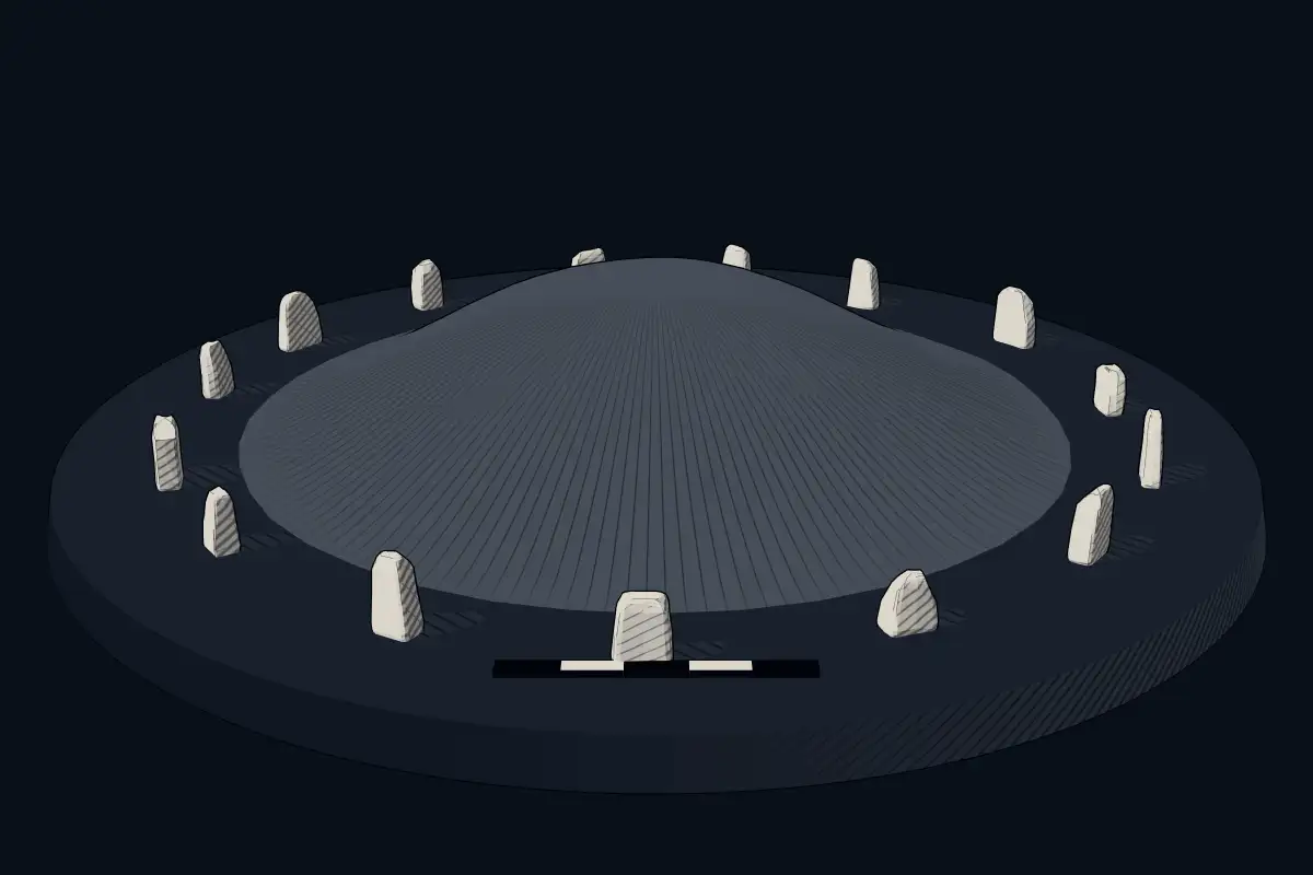
The reconstruction is ours, not a survey: it shows what a monument of this type looks like, at the size the record gives for this one.
Photographs
1 photograph, each with its author and licence
Where it stands
Belarus
The pin marks the monument itself — its exact point.
- Coordinates
- 53°13′35″ N, 26°46′52″ EFor a GPS or map app: 53.22645, 26.78105
Access is as our sources describe it; we have not visited the site to check.
Nearby
The closest sites in the Atlas, by straight line.
 Bieĺkavičy
 Kurgan in Sucharava
- Megalithic mound (tumulus with integral stones)Курганны могільнік
 Svislač Castle4000–1200 BCE
- Megalithic mound (tumulus with integral stones)Dieveniškių pilkapynas
- Megalithic mound (tumulus with integral stones)Didžiulių pilkapynas
- Megalithic mound (tumulus with integral stones)Stakų pilkapynas
- Megalithic mound (tumulus with integral stones)Куклі


Sources
Every record behind this page, with the link it came from.
1 source behind this page
- 01Wikidata Q22988773wikidata.org
Image files
- Слаўкава. Могілкі (03).jpgВ.ВасіленкаCC BY-SA 3.0
Report a correctionWrong date, name, photograph or source? Tell us and it will be put right.
Around this place
The ten nearest sites, by compass
Credit
Text, licence and sources
Adapted from the Wikipedia article "Каменныя магілы (Слаўкава)" (Belarusian), licensed CC BY-SA 4.0; authors are listed in the page history. Reused under CC BY-SA 4.0. Read on Wikipedia · Edit history and authors