.JPG/1920px-Gingelom-Drie_Tommen_(4).JPG 1920w)
Megalithic mound (tumulus with integral stones)
Drie Tommen
DatedEst. 4000–2000 BCE
Photo Romaine · CC0Source file on Wikimedia Commons
Overview
About this site
Overview
The Drie Tommen are three Gallo-Roman tumuli, or burial mounds, north-east of Kortijs and south-east of Montenaken, in the municipality of Gingelom in Belgian Limburg. They date to the second half of the second century AD and form part of a group of 6 tumuli within a radius of 1,5 kilometer around Montenaken.
They were opened in 1862 and were protected as a monument in 1979.
Read on Wikipedia2 min readCC BY-SA 4.0
Where it sits in time
The site's dated range, placed against world reference points.
The scale is logarithmic: each step to the left is about ten times older than the last.
Article
Drie Tommen
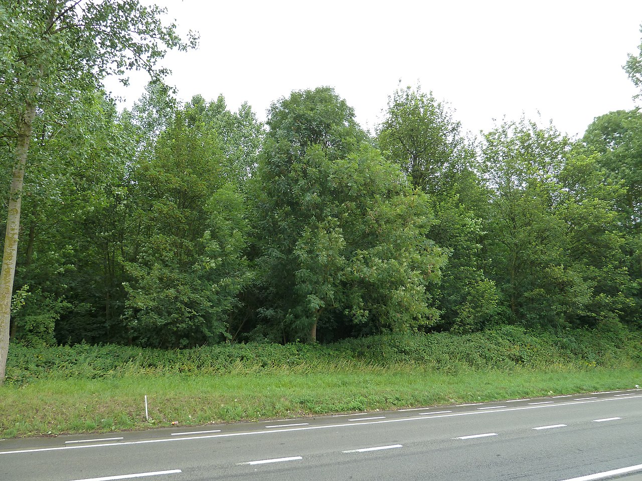
The mounds lie along the Drie Tombenstraat, a road that separates the two northern mounds from the southern one.
DescriptionSources for this section
- Wikipedia (Dutch): Drie Tommen (Montenaken)CC BY-SA 4.0
Sources for this section
- Wikipedia (Dutch): Drie Tommen (Montenaken)CC BY-SA 4.0
The mounds lie along the Drie Tombenstraat, a road that separates the two northern mounds from the southern one. Related mounds in the same group are the Avernassetombe, also known as the Tom van Montenaken, and the Twee Tommen.
ExcavationsSources for this section
- Wikipedia (Dutch): Drie Tommen (Montenaken)CC BY-SA 4.0
Sources for this section
- Wikipedia (Dutch): Drie Tommen (Montenaken)CC BY-SA 4.0
Henri Schuermans and August Kempeneers excavated the three mounds in 1862. In the northern mound, on the site of the funeral pyre, they found cremation remains. The middle mound contained a burial chamber with no fewer than 42 objects, among them a purple glass flask in the shape of a bunch of grapes. The southern mound was empty.
DatingSources for this section
- Wikipedia (Dutch): Drie Tommen (Montenaken)CC BY-SA 4.0
Sources for this section
- Wikipedia (Dutch): Drie Tommen (Montenaken)CC BY-SA 4.0
The catalogue record lists a typological estimate of 4000 BCE to 2000 BCE, which does not agree with the Gallo-Roman date given for the mounds in the excavation record.
ConservationSources for this section
- Wikipedia (Dutch): Drie Tommen (Montenaken)CC BY-SA 4.0
Sources for this section
- Wikipedia (Dutch): Drie Tommen (Montenaken)CC BY-SA 4.0
The Drie Tommen were protected as a monument in 1979.
ContextSources for this section
- Wikipedia (Dutch): Drie Tommen (Montenaken)CC BY-SA 4.0
Sources for this section
- Wikipedia (Dutch): Drie Tommen (Montenaken)CC BY-SA 4.0
Round barrows are found across the Low Countries and France. They are hemispherical mounds raised over a central burial, which may be an inhumation or a cremation. Many were raised in the Late Neolithic and the Bronze Age, and barrows were often reused for later graves.
Tradition and region
About this kind of monument
Low Countries and French barrows
Round barrows are found across the Low Countries and France. Many were raised in the Late Neolithic and the Bronze Age. The Bell Beaker phenomenon of the late third millennium BCE brought a new burial rite to western Europe: individual burials, often under a tumulus and with weapons, in contrast to the collective, weaponless burials of the earlier Neolithic. The Dutch hunebedden, the megalithic tombs of the north, belong to the earlier tradition and are described in their own article.
Round barrows are hemispherical mounds raised over a central burial, which may be an inhumation or a cremation placed in a vessel. Barrows were often reused: later graves were cut into the mound, sometimes long after the first burial, and many attract satellite burials. In France and Belgium, tumuli of the Hallstatt period belong to the early Iron Age, from about 800 BCE; from phase B of the Hallstatt sequence, tumulus burial becomes common and cremation predominates.
Dating relies on pottery and metalwork, and on radiocarbon dating where a mound has been dug. Many have been ploughed down, so the Atlas map reflects where mounds survived and were recorded as much as where they were built.
When visiting, look for the surrounding ditch or kerb, and for a later disturbance at the centre where a later grave or an old digging has cut the mound.
Paraphrased from Wikipedia: Tumulus, Wikipedia: Round barrow, Wikipedia: Bell Beaker culture, Wikipedia: Hallstatt culture, Wikipedia: Hunebed · CC BY-SA 4.0
See it in 3D
An interpretive reconstruction of the monument, standing on the real ground at its exact point, under the sun for that place and season. Drag to look around it.
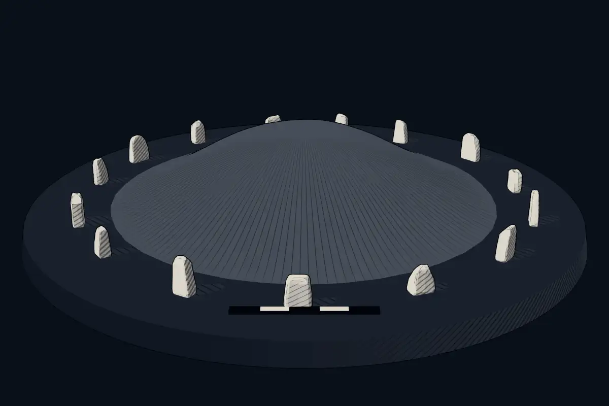
The reconstruction is ours, not a survey: it shows what a monument of this type looks like, at the size the record gives for this one.
Photographs
5 photographs, each with its author and licence
More photographs
Lore
Evidence & Lore
What the sources actually support — and, kept apart, what has been claimed.
What the evidence supports
Dates
Est. 4000–2000 BCEHow this date was established: Type comparisonTypical range for megalithic mounds in Belgium; this site has not been dated itself. Belgian barrows: the tumuli of Weris in the Belgian Luxembourg date from the 4th and 3rd millennia BC and the tumulus of Court-Saint-Etienne to around 3,000 BC.Source for this date
Where it stands
Belgium
The pin marks the monument itself — its exact point.
- Coordinates
- 50°42′35″ N, 5°09′40″ EFor a GPS or map app: 50.70972, 5.16104
Access is as our sources describe it; we have not visited the site to check.
Nearby
The closest sites in the Atlas, by straight line.




Sources
Every record behind this page, with the link it came from.
2 sources behind this page
- 01Wikidata Q2562828wikidata.org
- 02Source for this dateen.wikipedia.org
Image files
- Gingelom-Drie Tommen (4).JPGRomaineCC0
- Gingelom-Drie Tommen (1).JPGRomaineCC0
- Drie Tomben Vorsen Gingelom - panoramio.jpgGeert BudenaertsCC BY 3.0
- De Drie Tommen, grafheuvels - 371716 - onroerenderfgoed.jpgVandevorst, KrisCC BY 4.0
- De Drie Tommen, grafheuvels - 371820 - onroerenderfgoed.jpgVandevorst, KrisCC BY 4.0
Report a correctionWrong date, name, photograph or source? Tell us and it will be put right.
Around this place
The ten nearest sites, by compass
Credit
Text, licence and sources
Adapted from the Wikipedia article "Drie Tommen (Montenaken)" (Dutch), licensed CC BY-SA 4.0; authors are listed in the page history. Reused under CC BY-SA 4.0. Read on Wikipedia · Edit history and authors
- Wikipedia (Dutch): Drie Tommen (Montenaken)CC BY-SA 4.0
- Wikidata Q2562828CC0